

Glacier National Park Hiking Trail Map | Detailed GPS Adventure Guide
Climb Higher with the Ultimate Glacier National Park Hiking Trail Map
(Montana – Navigate the Crown of the Continent with Confidence)
Pocket-sized in your pack. Powerfully detailed on the trail. Built for day hikers, backpackers—and smart retailers.
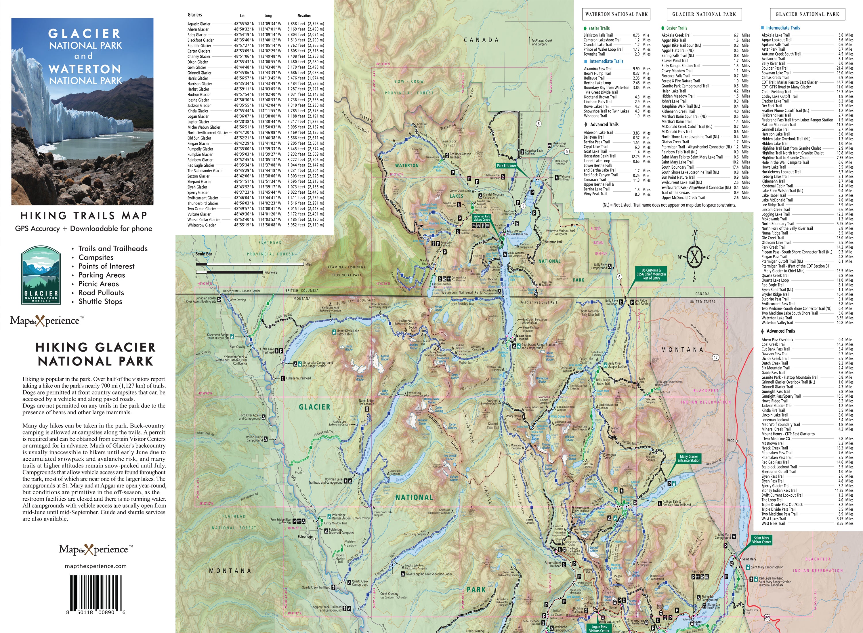
Ready to hike farther, climb higher, and explore deeper? Our Glacier National Park Hiking Trail Map is your trusted guide to the park’s most iconic routes—from Hidden Lake and Grinnell Glacier to the Highline Trail, Avalanche Lake, and dozens of high-country gems. Designed by local experts, this map delivers trail-tested knowledge so you can wander through Montana’s wild heart with clarity and confidence.
Whether you're trekking to an alpine overlook, exploring glacier-carved valleys, or navigating deep into the backcountry, this map equips you for every step of the journey—no matter the elevation.
Why Hikers Love This Map:
-
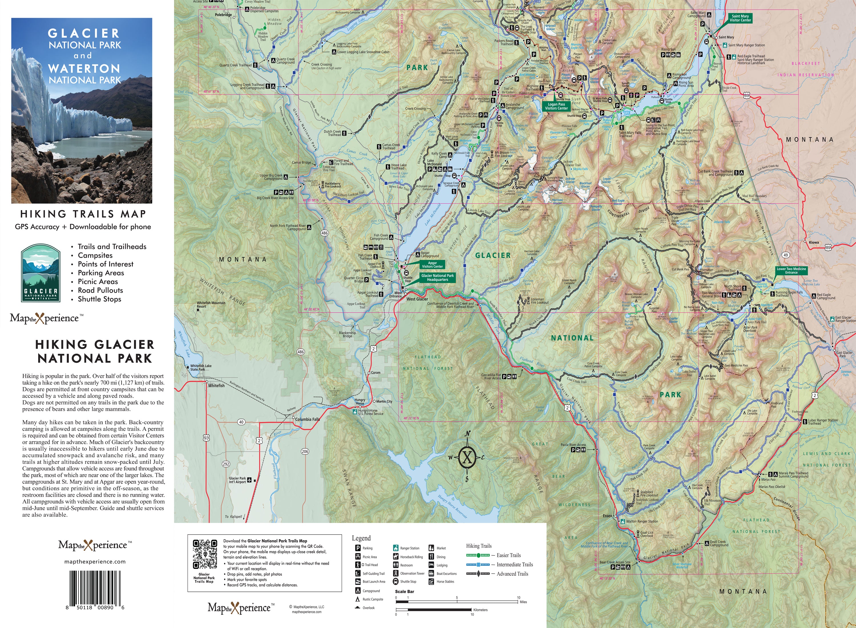
Covers all major hikes and routes across Glacier National Park
-
Includes trailheads, mileage, elevation profiles, campsites, and points of interest
-
Features trail difficulty ratings for quick, confident trip planning:
🟢 Easy – For families and casual hikers
🔵 Moderate – Great for elevation and distance
⚫ Difficult – Built for experienced hikers taking on Glacier’s wildest terrain
Backcountry-Proven and Ready for Adventure
Folded to 4” x 8” and unfolding to 36” x 24”, this waterproof, tear-resistant map is lightweight, packable, and printed in high resolution—ideal for trailhead planning or on-the-go route checks.
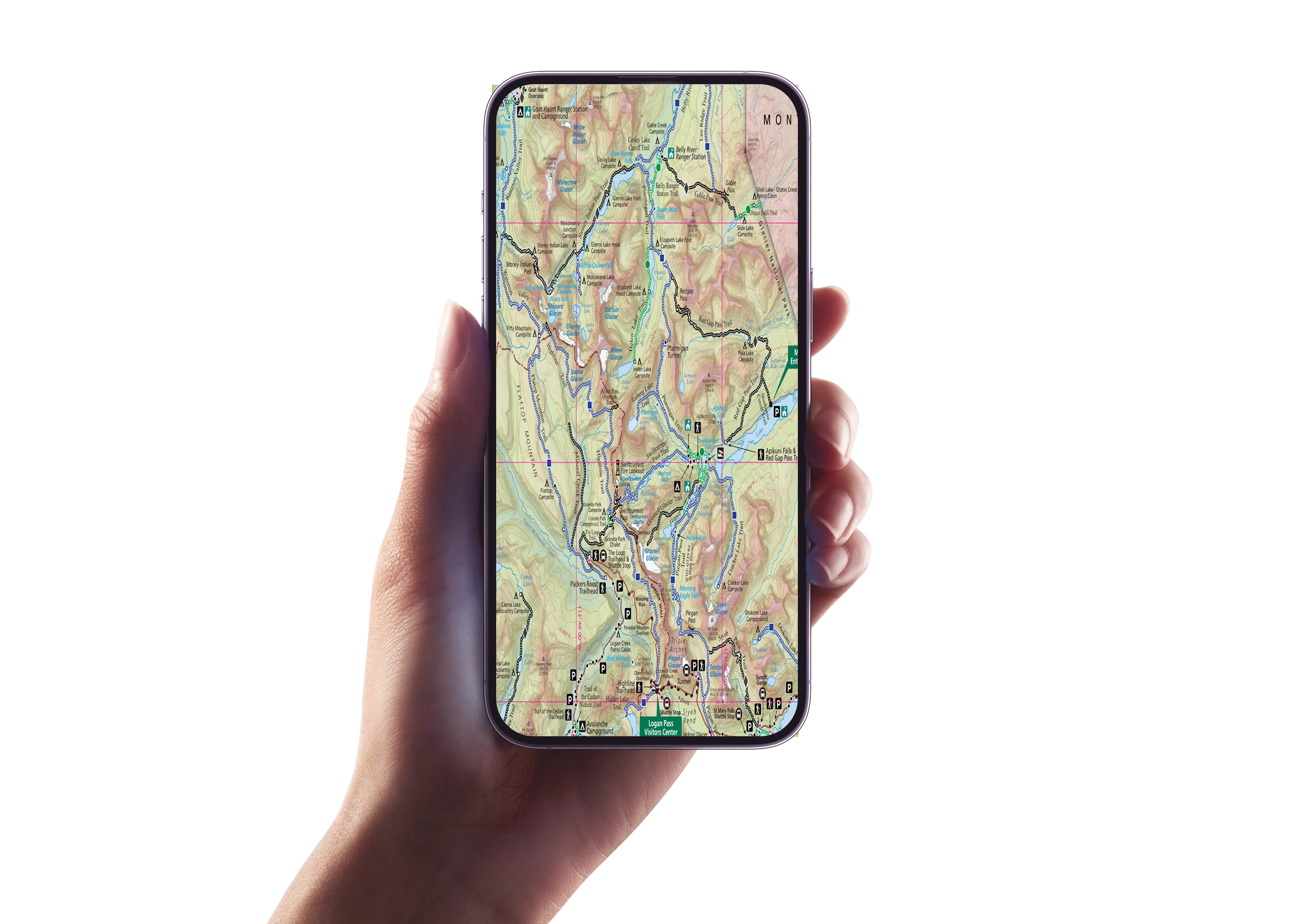
Zoom in for unmatched detail, track your exact location in real time, and mirror your print map offline via a QR code, perfect for Glacier’s no-signal zones and remote trails.
Retailers: Want to Offer Something That Sells Itself?
This map is a must-have for outdoor retailers, gear shops, park stores, and visitor centers throughout northwest Montana. Locally designed, field-tested, and packed with value, it’s the grab-and-go guide every Glacier adventurer needs.
Don’t just hike Glacier—know it, climb it, and experience it like never before.
Hike farther. Climb higher. Explore Glacier.
