

Great Smoky Mountains National Park Fishing Map
Great Smoky Mountains National Park Fishing Map
(Great Smoky Mountains National Park – Wild Trout, Remote Waters, Unmatched Detail)
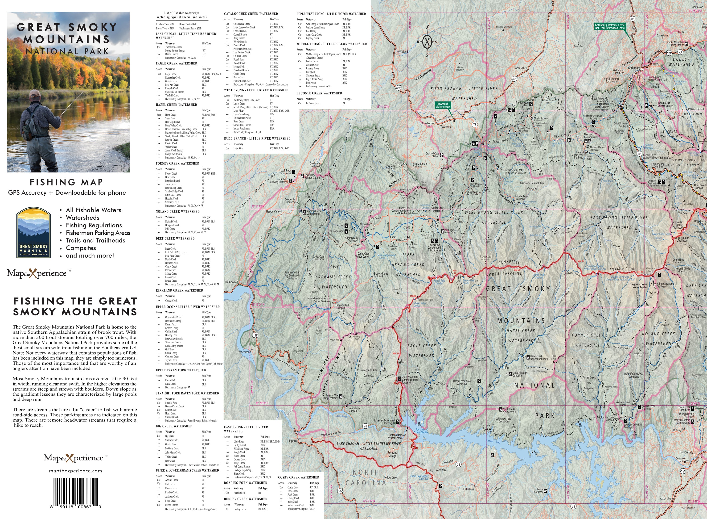
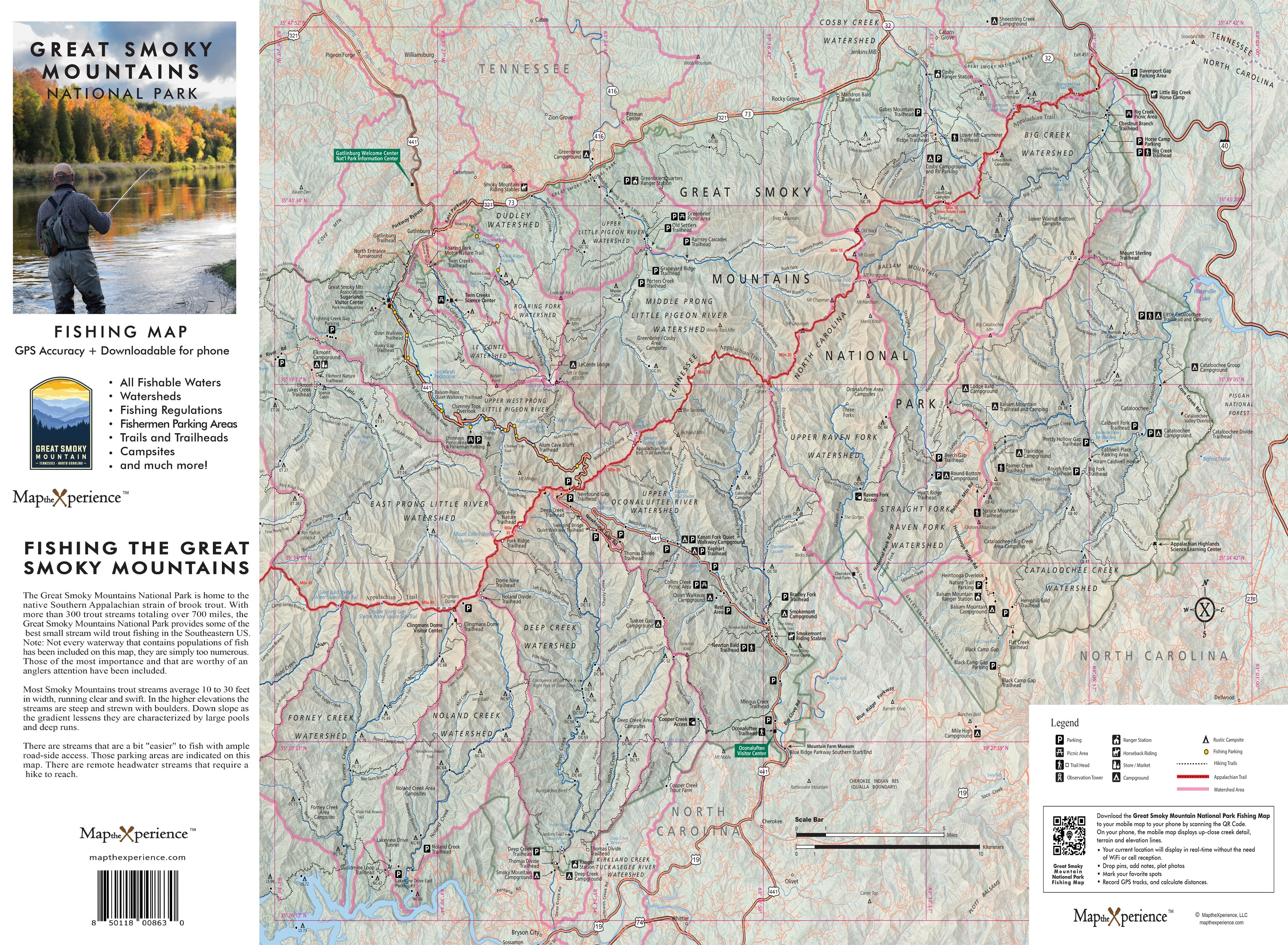
Ready to fish deeper, hike farther, and discover the hidden gems of Appalachia’s premier trout water? Our Great Smoky Mountains National Park Fishing Map is your essential guide to the legendary streams and off-the-grid waters that define the Smokies. From the iconic flows of Little River and Abrams Creek to the solitude of Hazel Creek and Deep Creek, this map was designed to lead anglers beyond the road and into the heart of wild trout country.
Whether you’re targeting native brook trout in rhododendron-shaded headwaters or stalking wild browns in tumbling freestone streams, this map equips you with the access, insight, and confidence to fish the Smokies like a local.
Why Anglers Love This Map:
-
Covers the park’s top fishable rivers and backcountry streams
-
Clearly marked public access, trailheads, and hike-in fishing zones
-
Stream mileage and route planning data for smart trip logistics
-
Backcountry campsite locations near key fishing waters
-
Species ID and regulations guide to help you fish responsibly and legally
Trail-Tested and Wilderness-Ready
Printed at 36” x 24” double sided paper this high-resolution map is built for creeksides, campsites, and long days on foot—perfect for planning by lantern light or navigating deep in the forest.
Zoom in for finer stream detail, track your exact location in real time, and mirror your print map seamlessly via a scannable QR code on the map which works even without cell service in remote areas.
Retailers: Want to Offer Something That Sells Itself?
This map is a must-have for fly shops, outfitters, and outdoor retailers throughout the Smokies region. Locally designed, field-tested, and full of valuable intel, it’s the perfect grab-and-go item for anglers chasing wild fish and solitude.
Don’t just fish the Smokies—know them, explore them, and respect the waters where wild trout still thrive.
Fish deeper. Plan smarter. Explore the Smokies.
