Gunnison River Colorado Fly Fishing Map | Public Access Guide
Gunnison River Fishing Map – Colorado
Fish smarter, not harder.
This detailed Gunnison River Fishing Map was created by local anglers who know the river firsthand—because they’ve spent decades fishing, floating, and exploring one of Colorado’s most iconic and varied fisheries.
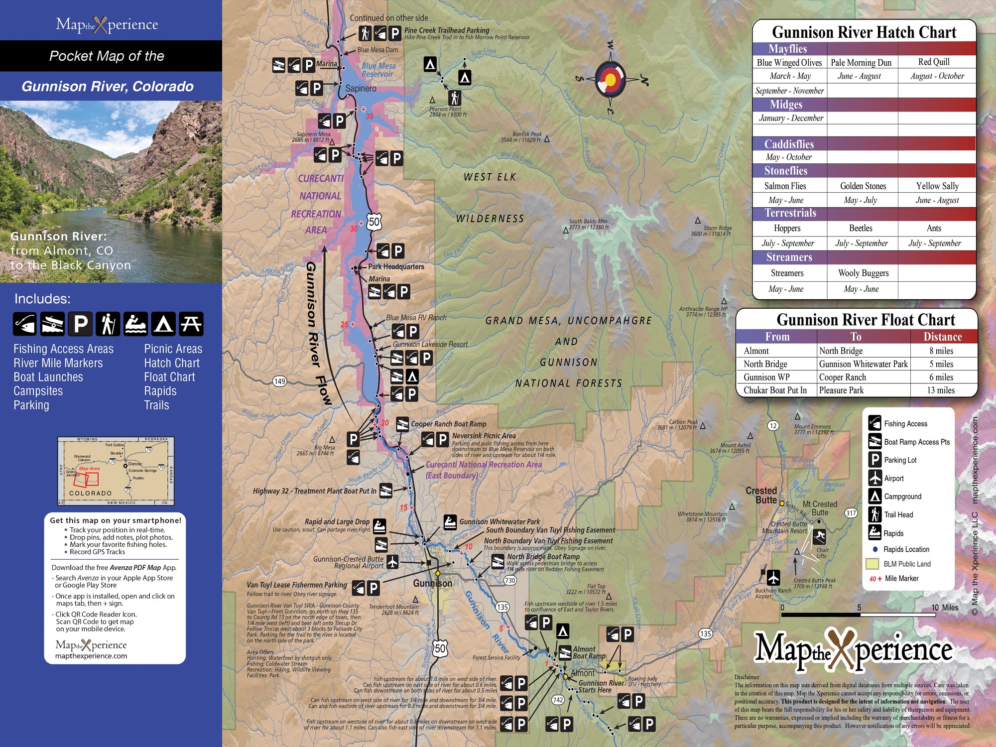
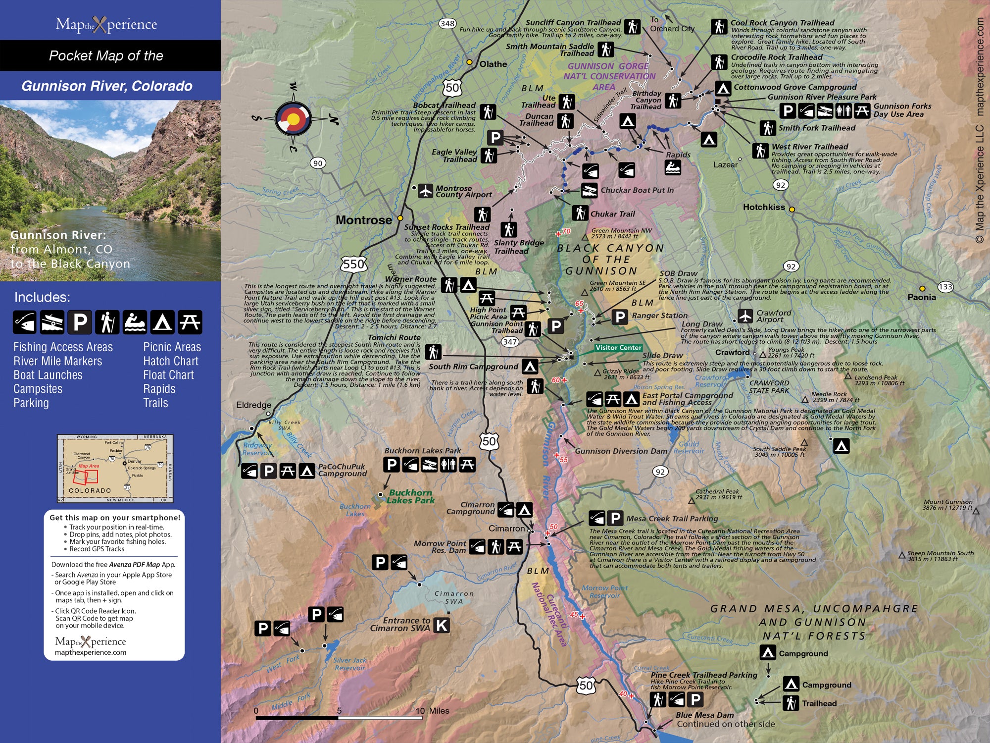
Covering the Gunnison River from Almont downstream through the Gunnison Gorge and extending below the gorge, this map clearly shows where you can legally access and fish the river across a wide range of water types. It also includes the Black Canyon of the Gunnison, providing clear access and land-ownership context for one of the most dramatic and tightly regulated stretches of river in the West. Public lands and access points are presented in a clean, easy-to-read format designed for real use on the water.
What’s Included:
-
Clearly marked public lands, including federal, state, county, and city ownership
-
Public fishing access points along the Gunnison River
-
Coverage of the Black Canyon of the Gunnison
-
River miles, bridges, and key reference points
-
Trails and walk-in access areas
-
Parking locations not found on other maps, identified through local knowledge
-
High-resolution cartography designed for outdoor navigation and trip planning
Why Anglers Love It:
Unlike generic fishing maps, this map focuses on access areas and land-ownership clarity, so you know exactly where you’re allowed to be—especially critical in remote, steep, and highly regulated sections like the Gunnison Gorge and Black Canyon. The added parking data helps anglers plan trips efficiently and access hard-to-reach water with confidence.
Available Formats:
-
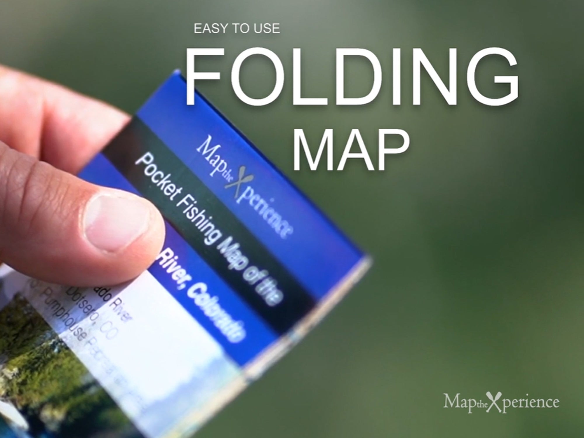
Folded Paper Map – 15x12" unfolded, 3x6" folded pocket guide, ideal for fly shops, travel, and glove boxes
-
GPS Mobile Map – Compatible with Avenza Maps for offline navigation
Whether you’re floating the Gunnison near Almont, hiking into the gorge, or studying access around the Black Canyon, this map helps you spend less time searching for access—and more time fishing.
Details
This product is crafted with quality materials to ensure durability and performance. Designed with your convenience in mind, it seamlessly fits into your everyday life.
Shipping & Returns
We strive to process and ship all orders in a timely manner, working diligently to ensure that your items are on their way to you as soon as possible.
We are committed to ensuring a positive shopping experience for all our customers. If for any reason you wish to return an item, we invite you to reach out to our team for assistance, and we will evaluate every return request with care and consideration.


