Vail Valley Colorado Hiking, Biking, and Fishing Map | Outdoor Adventure Guide
Explore the Vail Valley with the Ultimate Outdoor Adventure Map
(Colorado High Country – Your Guide to Trails, Rivers & Wild Places)
Pocket-sized in your pack. Powerfully detailed on the trail. Built for hikers, bikers, anglers—and smart retailers.
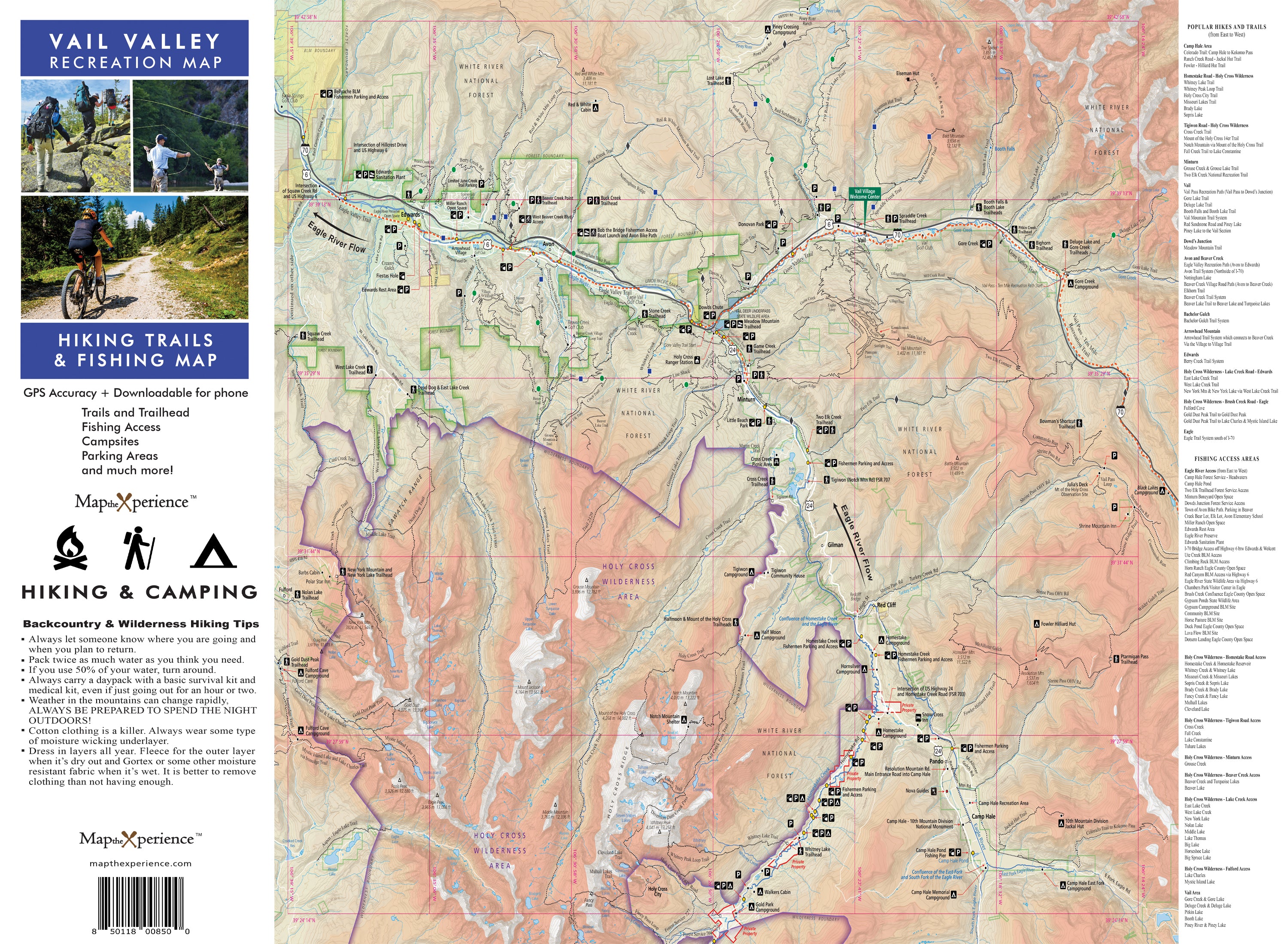
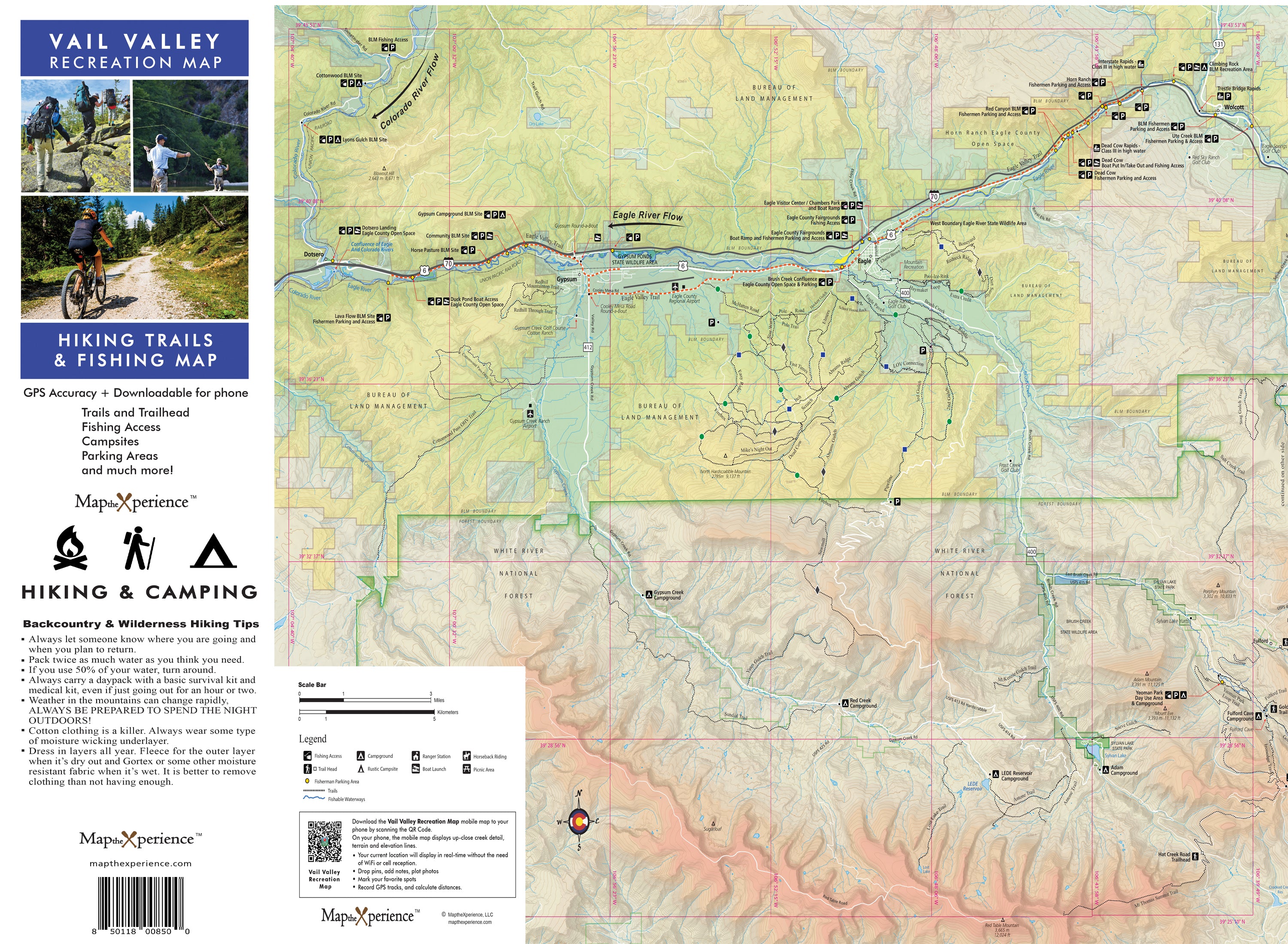
Ready to hike farther, ride higher, and cast deeper? Our Vail Valley Recreation Map is your essential guide to the outdoor playground of Colorado’s central Rockies. Covering the full stretch from East Vail to Eagle—including Vail, Avon, Edwards, Minturn, and the surrounding wilderness—this rugged, field-tested map brings clarity and confidence to every mountain adventure.
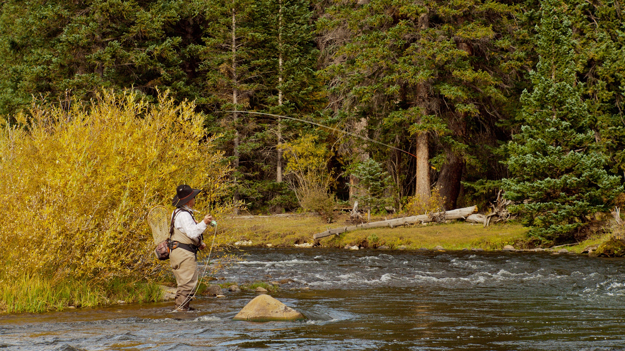
Whether you're casting dry flies on the Eagle River, hiking into the Holy Cross Wilderness, or navigating high-alpine singletrack above tree line, this map delivers the terrain, access, and insights you need to explore the Vail Valley like a local.
Why Outdoor Enthusiasts Love This Map:
-
Detailed hiking, biking, and multi-use trails with mileage, elevation, and difficulty ratings
-
Public fishing access on the Eagle River, Gore Creek, and alpine streams
-
Boat ramps, campgrounds, picnic areas, scenic overlooks, and local parks clearly marked
-
Includes full coverage of the Holy Cross Wilderness and backcountry trailheads
-
Highlights recreation zones from East Vail to the town of Eagle
Trail-Tested and Ready for the Rockies
Folded to 4” x 8” and unfolding to 36” x 24”, this waterproof, tear-resistant map is built for mountain weather, riverbanks, and high-altitude use—perfect for your pack, bike kit, or glovebox.
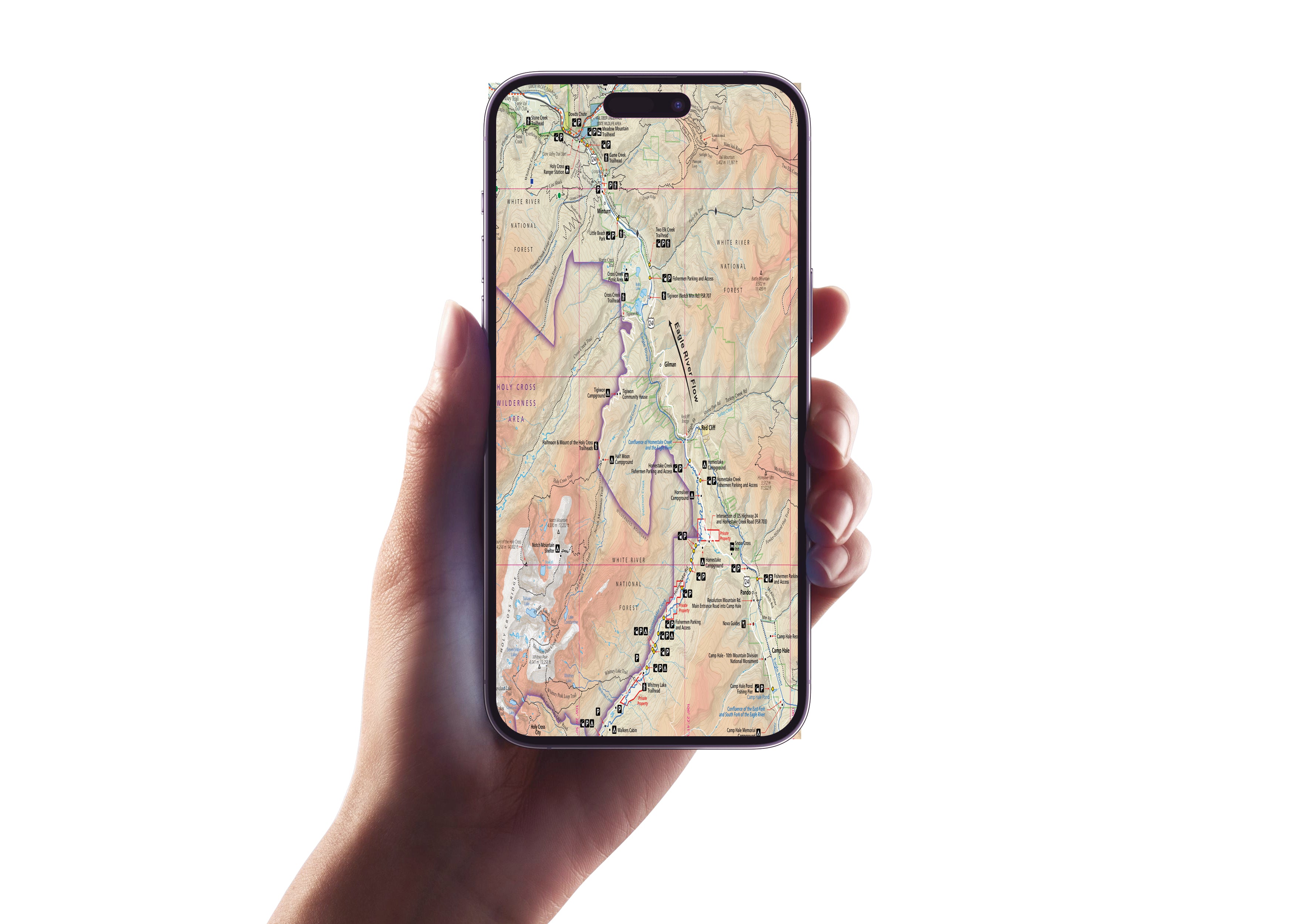
Zoom in for trail and river detail, track your real-time location, and mirror your print map seamlessly via a QR Code even deep in the wilderness with no cell signal.
Retailers: Want to Offer Something That Sells Itself?
This map is a must-have for gear shops, visitor centers, fly shops, outfitters, and outdoor retailers across the Vail Valley. Locally made, expert-designed, and loaded with value, it’s the ultimate grab-and-go companion for anyone who hikes, bikes, or fishes in the high country.
Don’t just visit the Vail Valley—explore it, know it, and experience every mile.
Plan better. Ride farther. Fish deeper. Discover the Vail Valley.
Details
This product is crafted with quality materials to ensure durability and performance. Designed with your convenience in mind, it seamlessly fits into your everyday life.
Shipping & Returns
We strive to process and ship all orders in a timely manner, working diligently to ensure that your items are on their way to you as soon as possible.
We are committed to ensuring a positive shopping experience for all our customers. If for any reason you wish to return an item, we invite you to reach out to our team for assistance, and we will evaluate every return request with care and consideration.


