Have an account? Log in to check out faster.
VOYAGEURS NATIONAL PARK
Voyageurs National Park Microfiber Map Bandana
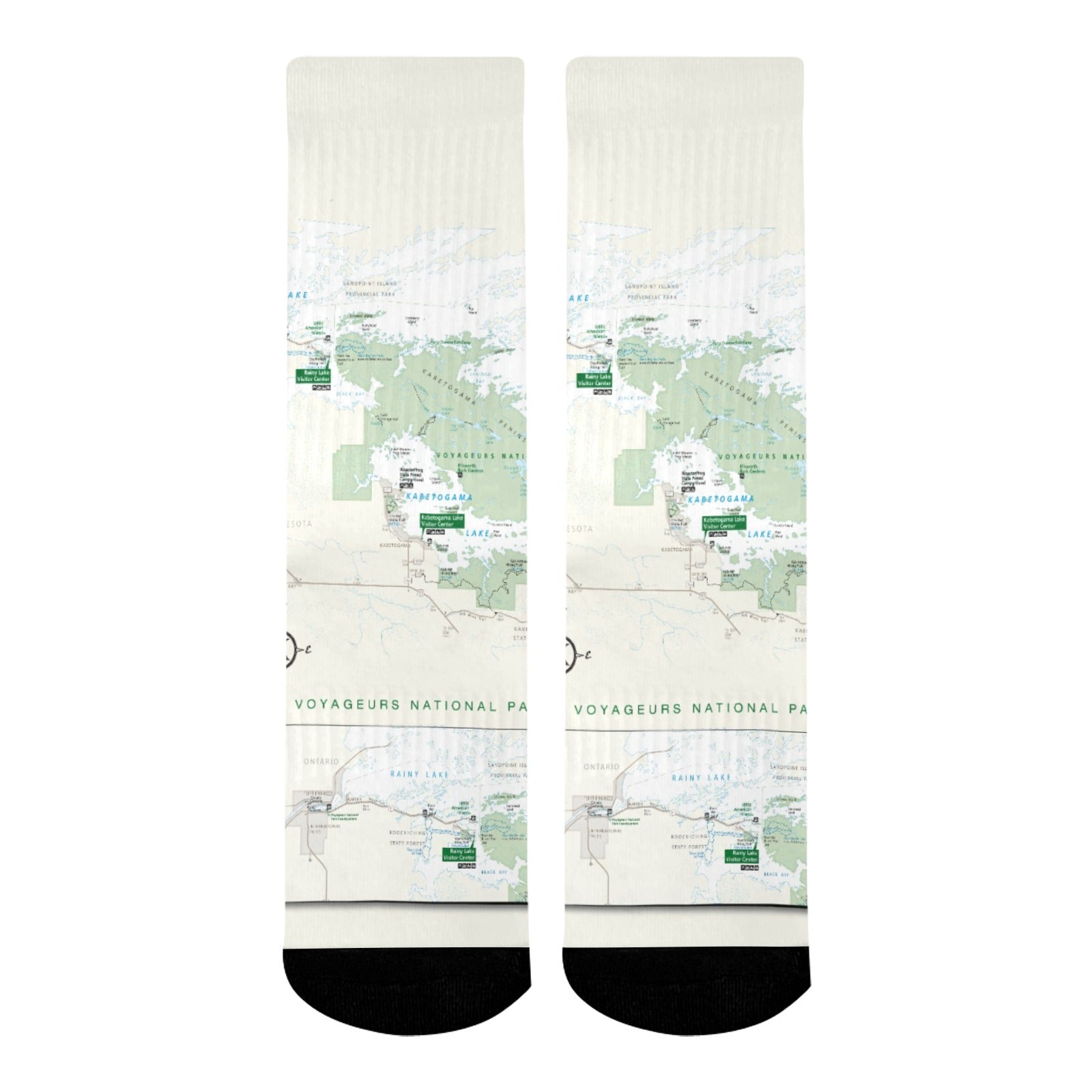
Voyageurs National Park Mid-Calf Socks
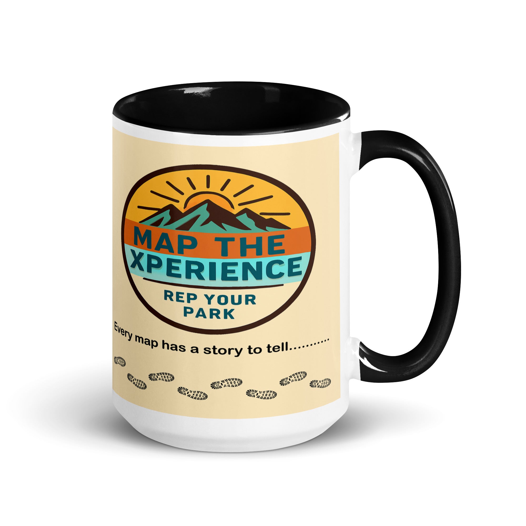
Voyageurs National Park Mug
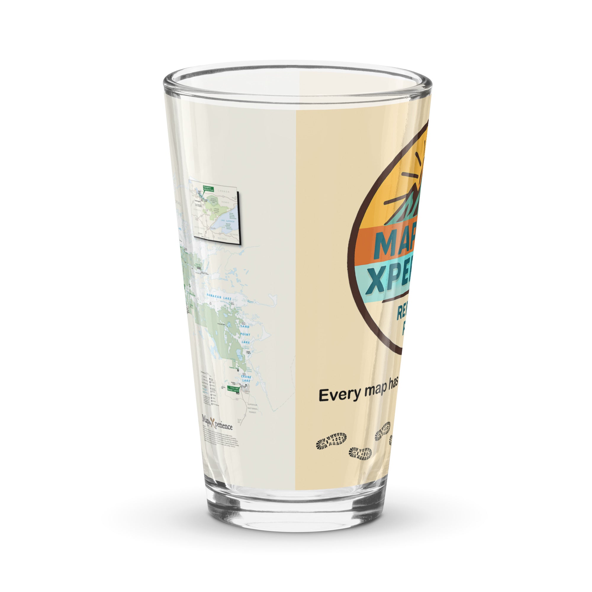
Voyageurs National Park Pint Glass
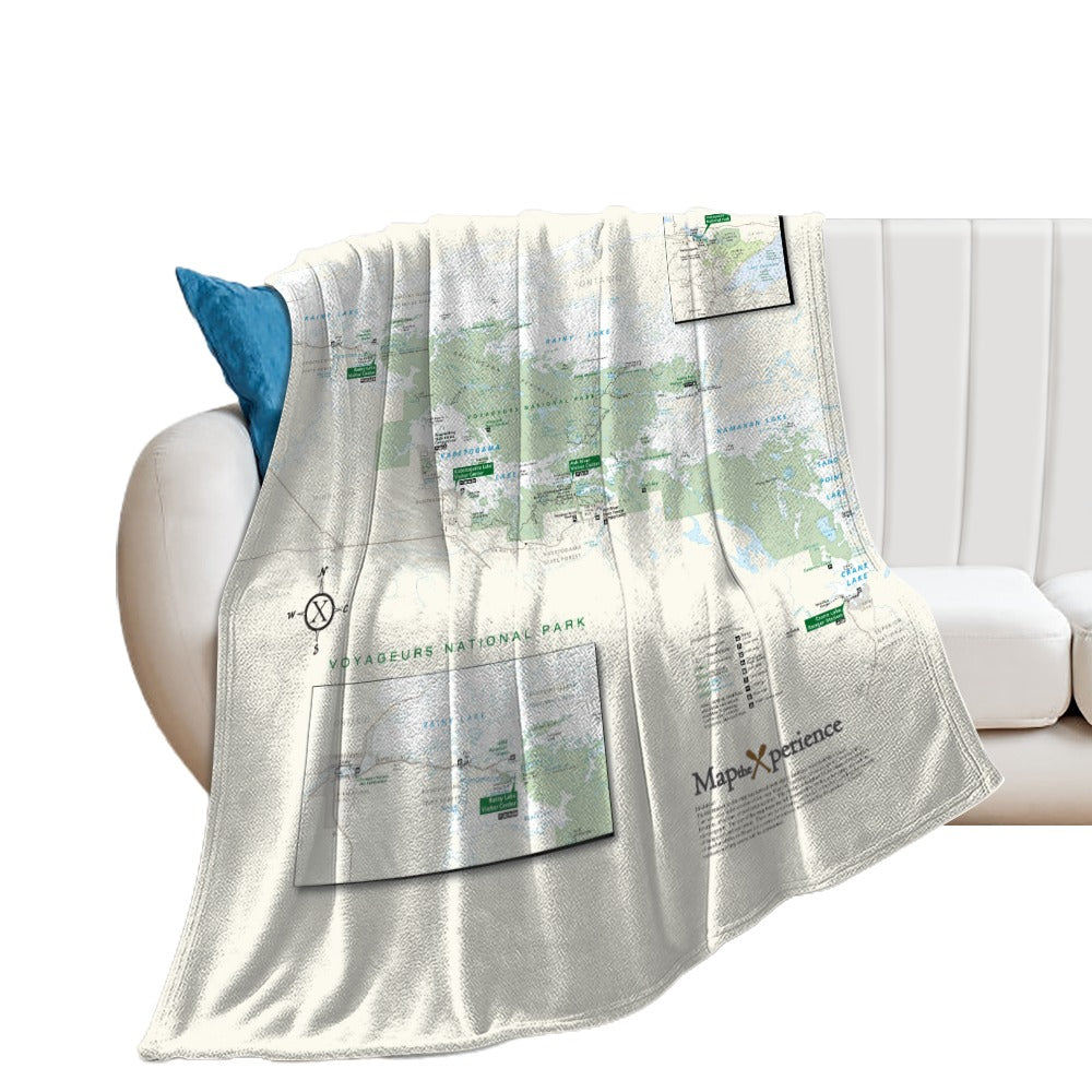
Voyageurs National Park Super Soft Flannel Blanket
Join our Newsletter — Get Updates, Offers and Invites.