Skip to product information

Big Bend National Park GPS Map Neck Gaiter
$24.95
Shipping calculated at checkout.
The Ultimate Big Bend National Park Neck Gaiter
Where desert mountains meet the Rio Grande and stars blaze in the darkest skies—this is the gear made for vast silence and untamed terrain.
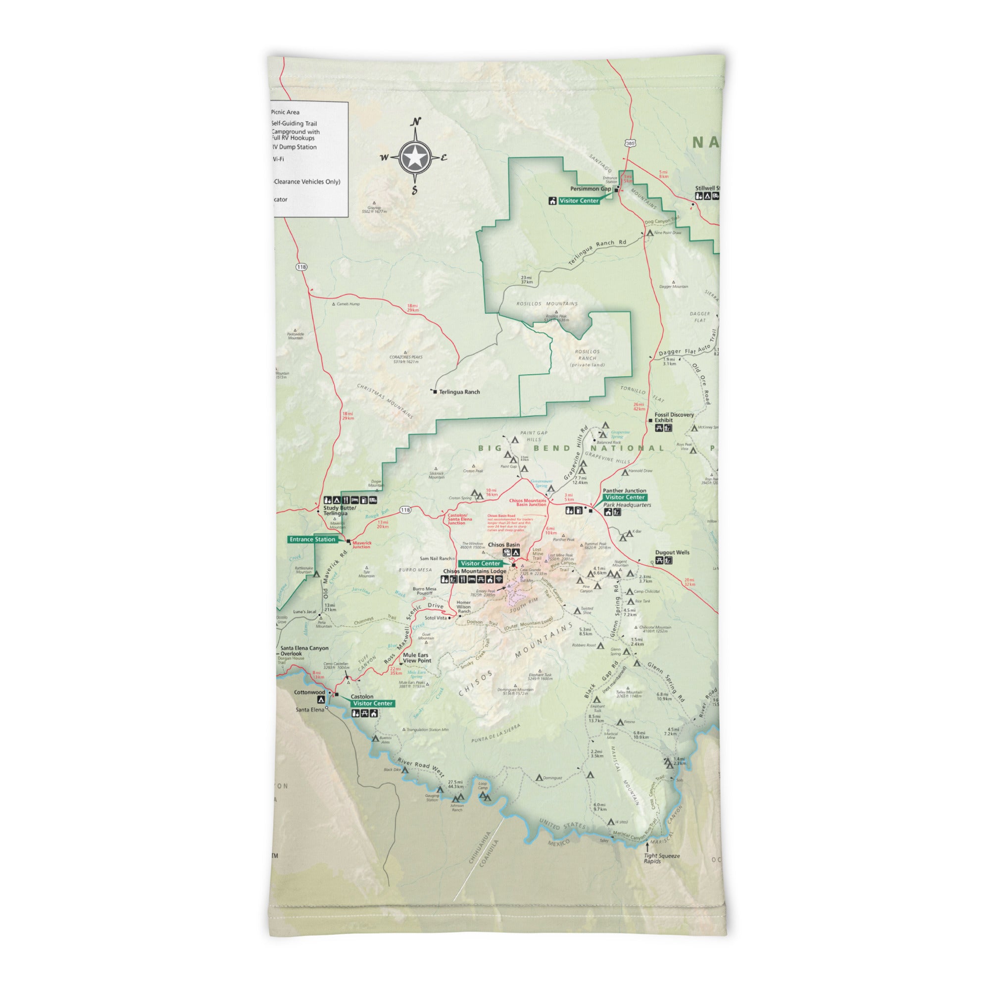
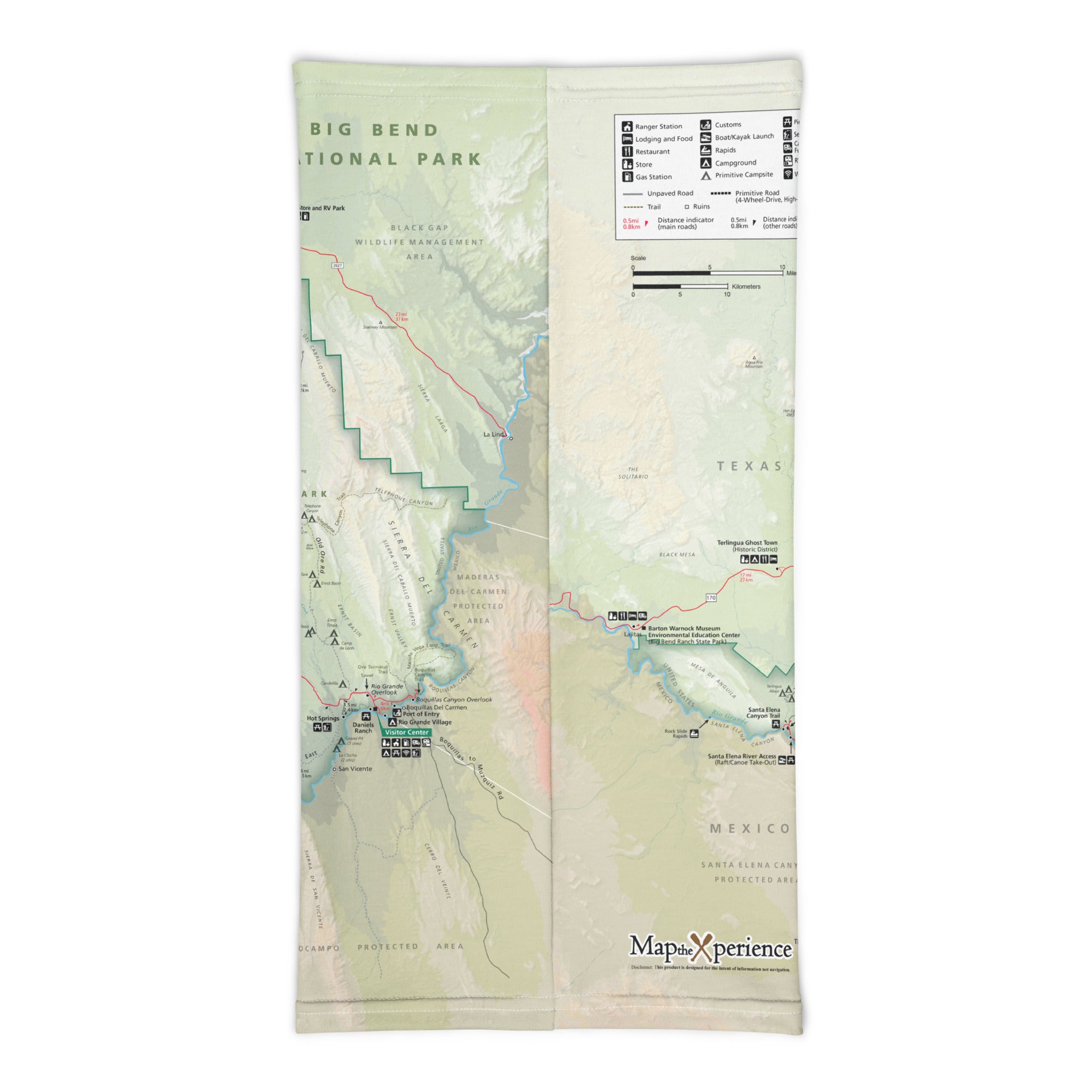
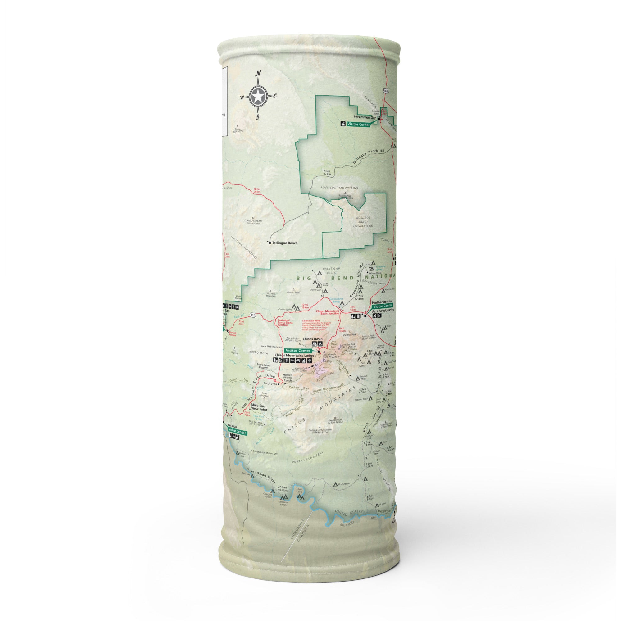
The Big Bend GPS Map Neck Gaiter is a one-of-a-kind essential for adventurers drawn to the remote beauty of Texas’ wildest national park. Featuring a full-color, GPS-accurate map of Big Bend National Park, it delivers comfort, performance, and orientation in one rugged, pack-ready piece.
Explore the Wild. Stay Protected.
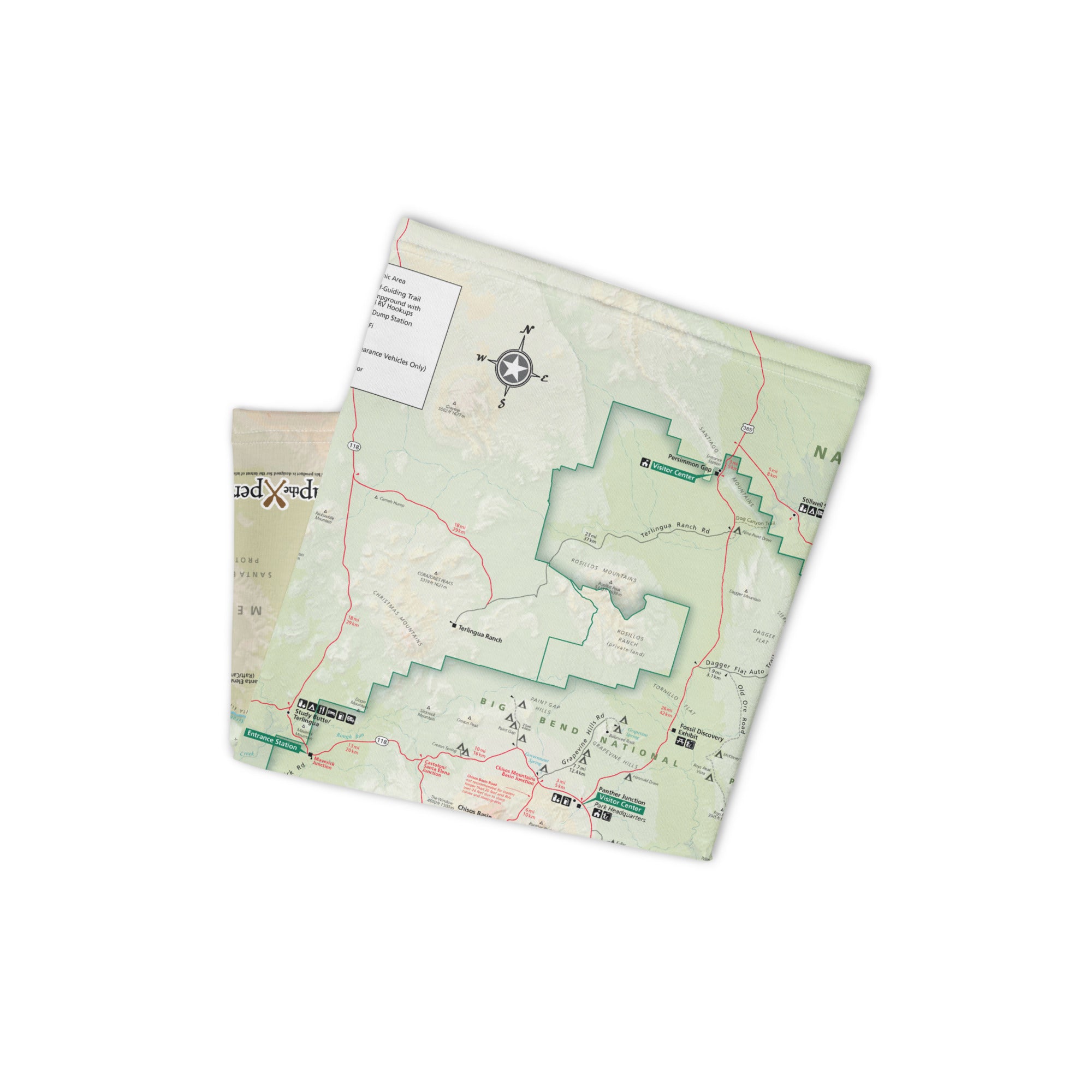
Made from a soft, breathable polyester-spandex blend, this gaiter offers 12+ ways to wear it—neck guard, face cover, headband, balaclava, and more. Whether you’re hiking the South Rim, paddling Santa Elena Canyon, or stargazing in Chisos Basin, this gaiter keeps you cool, covered, and connected to the land.
Built for the Backcountry:
-
Full-color, GPS-accurate map of Big Bend National Park
-
Highlights trails, river routes, overlooks, and backcountry zones
-
Lightweight, moisture-wicking, breathable fabric
-
UPF 50+ sun protection—a must in the desert sun
-
2-way stretch for a secure and flexible fit
-
One size fits all—trail-tested and traveler-approved
-
Machine washable and made for repeat adventure
An Essential for Explorers—and a Standout for Retailers
More than just a piece of gear, this gaiter is a wearable map and meaningful memento. With broad appeal to hikers, paddlers, road trippers, and park collectors, it’s a high-performance, high-appeal product for visitor centers, outfitters, and Southwest gift shops. Visually striking on the shelf. Incredibly useful on the trail.
Where Solitude Roams—and Memory Takes Root
Big Bend is remote, rugged, and unforgettable—and the GPS Map Neck Gaiter brings that spirit with you. Whether protecting you from sun and wind or reminding you of a wild journey well spent, this gaiter keeps you oriented, inspired, and always adventure-ready.
Details
This product is crafted with quality materials to ensure durability and performance. Designed with your convenience in mind, it seamlessly fits into your everyday life.
Shipping & Returns
We strive to process and ship all orders in a timely manner, working diligently to ensure that your items are on their way to you as soon as possible.
We are committed to ensuring a positive shopping experience for all our customers. If for any reason you wish to return an item, we invite you to reach out to our team for assistance, and we will evaluate every return request with care and consideration.