Bryce Canyon National Park GPS Map Neck Gaiter
The Ultimate Bryce Canyon National Park Neck Gaiter
Hoodoos rise like sentinels. Sunlight dances across red rock spires. This is the gear built for wonder at every turn.
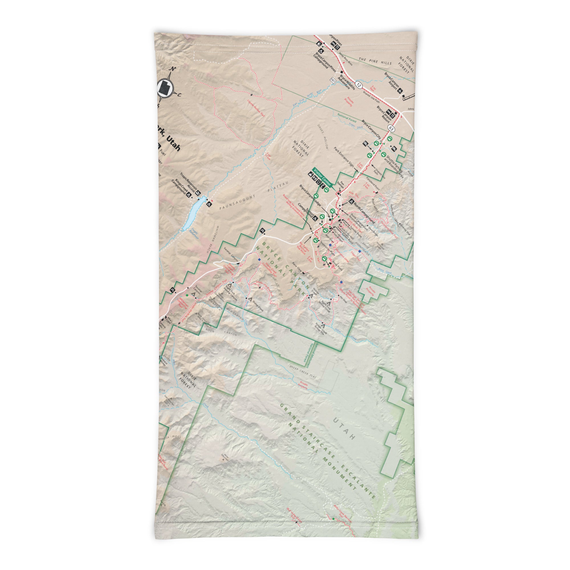
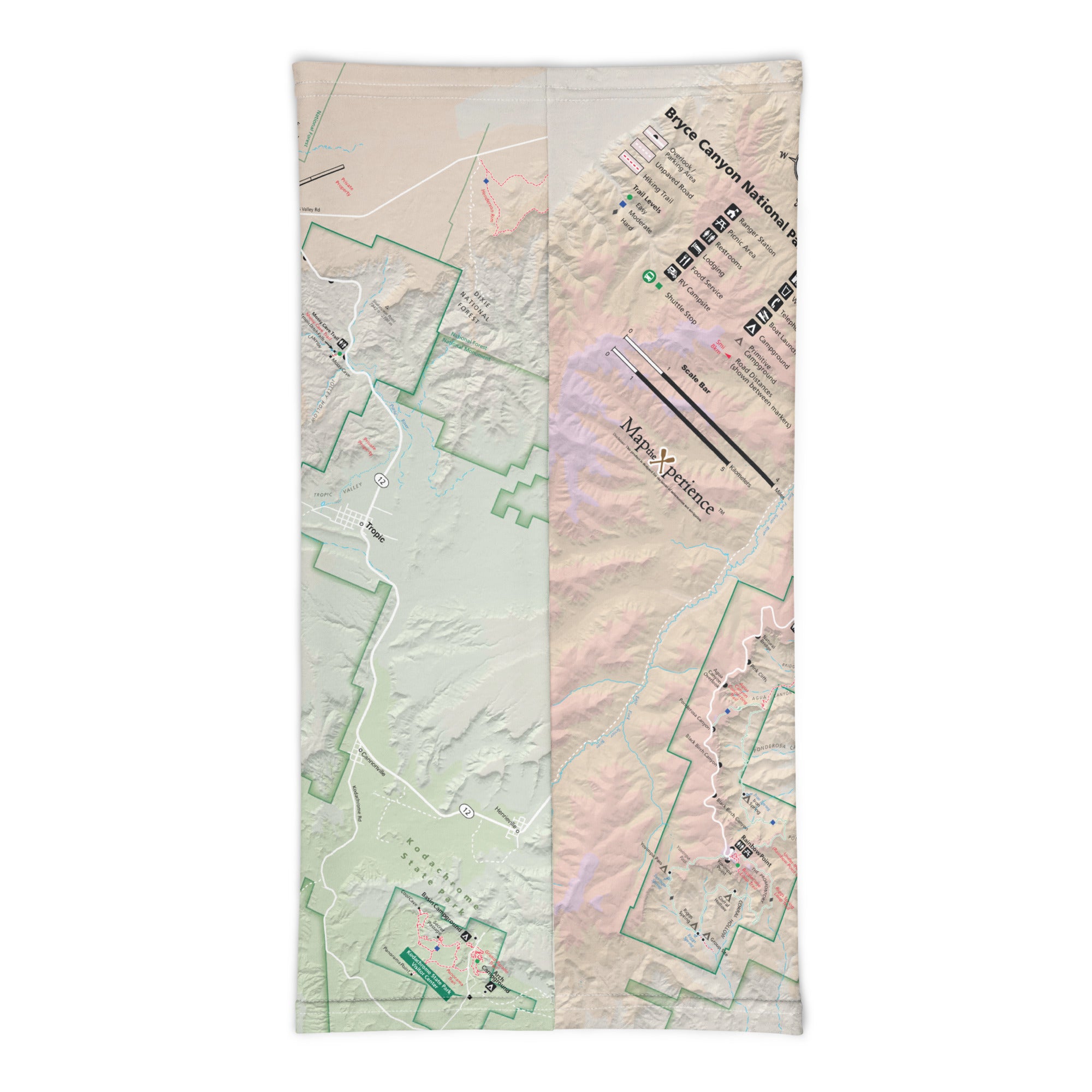
The Bryce Canyon GPS Map Neck Gaiter is a one-of-a-kind essential designed for explorers who embrace the elements and want to carry the magic of Bryce with them. Featuring a full-color, GPS-accurate map of Bryce Canyon National Park, this gaiter blends protection, performance, and park-inspired design into one unforgettable piece of trail gear.
Adventure-Ready. Hoodoo-Tested.
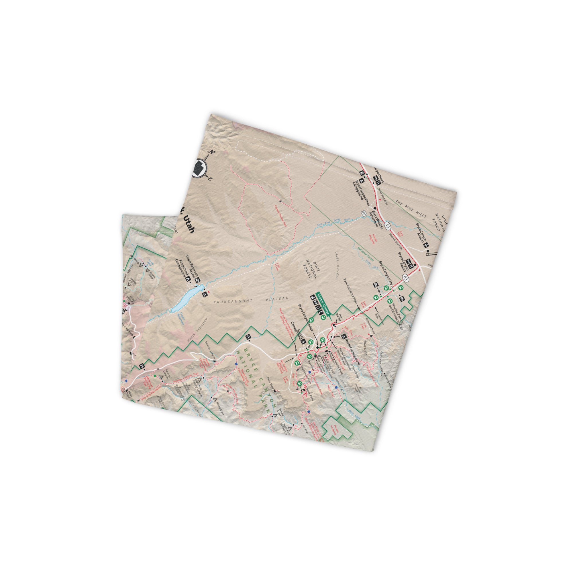
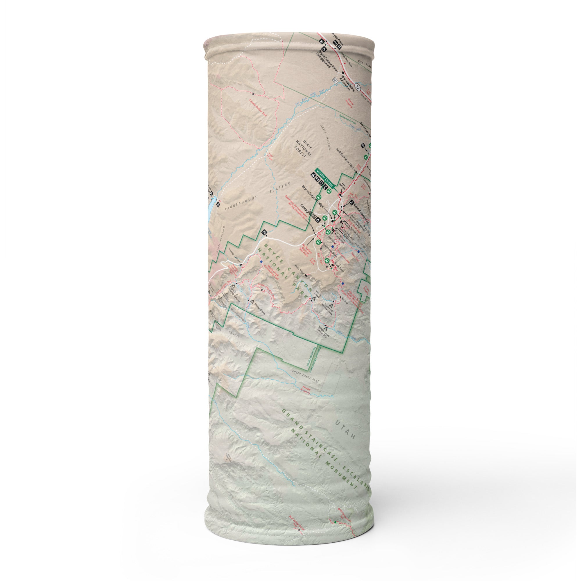
Crafted from a soft, high-stretch polyester-spandex blend, this gaiter offers 12+ ways to wear it—neck cover, face wrap, balaclava, headband, and more. Whether you're trekking the Queen’s Garden Trail, hiking the Peekaboo Loop, or soaking in a Bryce sunrise from Sunrise Point, it delivers all-day comfort and reliable coverage.
Trail-Tested Features:
-
Full-color, GPS-accurate map of Bryce Canyon National Park
-
Lightweight, breathable, and moisture-wicking fabric
-
UPF 50+ sun protection—essential for high-altitude exposure
-
2-way stretch for a secure, comfortable fit
-
Machine washable and built for repeated use
-
One size fits all—flexible and packable
A Memorable Gift—and a Top Performer for Retailers
This is more than a gaiter—it’s a wearable map, a functional souvenir, and a story in motion. Ideal for national park visitors, hikers, road trippers, and gift givers, it’s a proven best-seller for park stores, outfitters, and travel retailers. Visually striking and trail practical, it’s the kind of product customers remember—and come back for.
Where Stone Whispers and Sky Shines Bright
Bryce Canyon is a place of stillness, wonder, and towering beauty. The GPS Map Neck Gaiter brings that spirit with you—wherever the trail leads next. Stay protected. Stay inspired. And always know where you stand.
X FIBER - A BREATHABLE FABRIC UNLIKE ANY OTHER
X GUARD MULTIFACETED FACE WEAR
