Canyonlands National Park GPS Map Neck Gaiter
The Ultimate Canyonlands National Park Neck Gaiter
Where rivers carve stone and silence stretches for miles—this is the gear built for red rock adventure and high desert extremes.
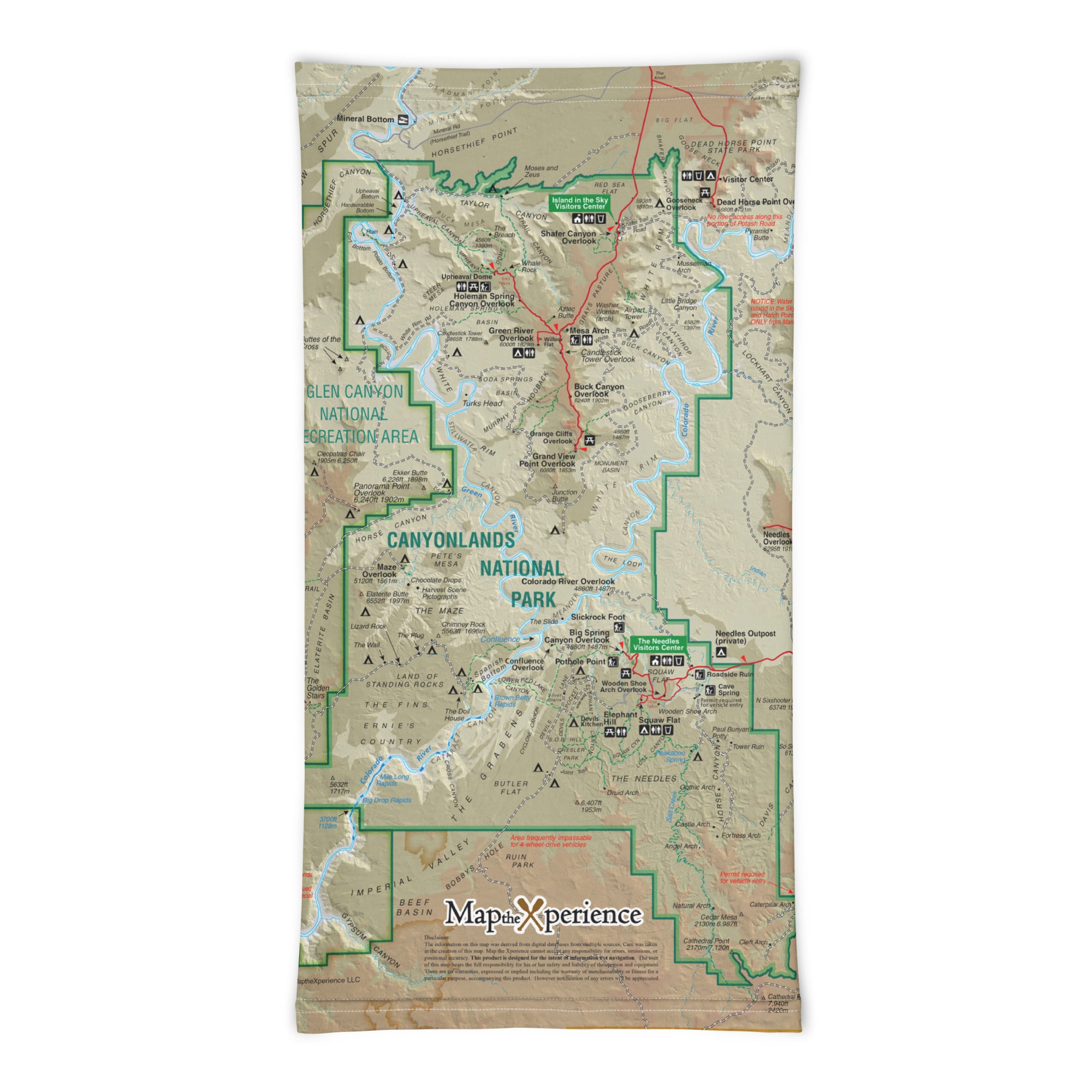
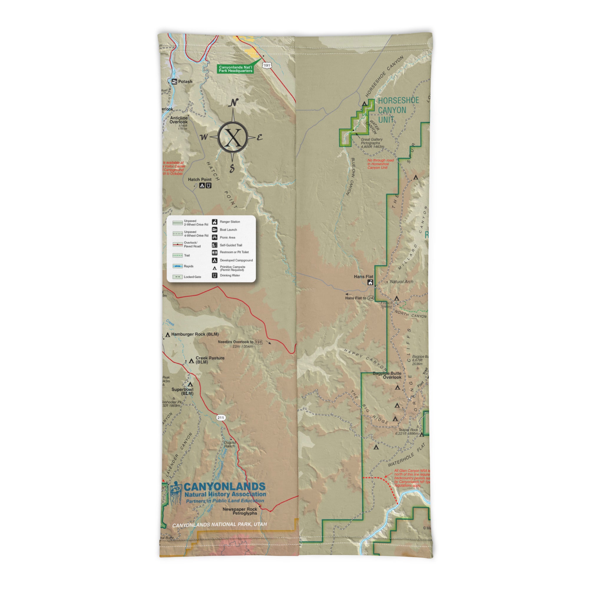
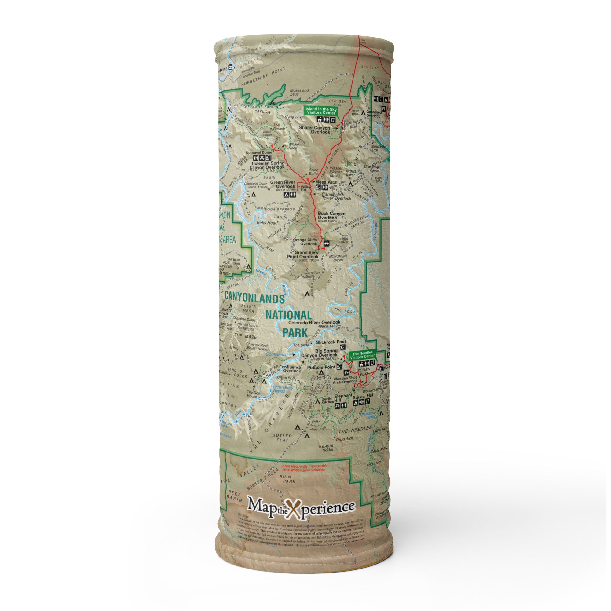
The Canyonlands GPS Map Neck Gaiter is a one-of-a-kind outdoor essential for explorers drawn to Utah’s most untamed and awe-inspiring landscapes. Featuring a full-color, GPS-accurate map of Canyonlands National Park, it blends performance, protection, and topographic detail in a form you can wear, pack, and treasure long after the trail.
Adventure-Ready for Every District
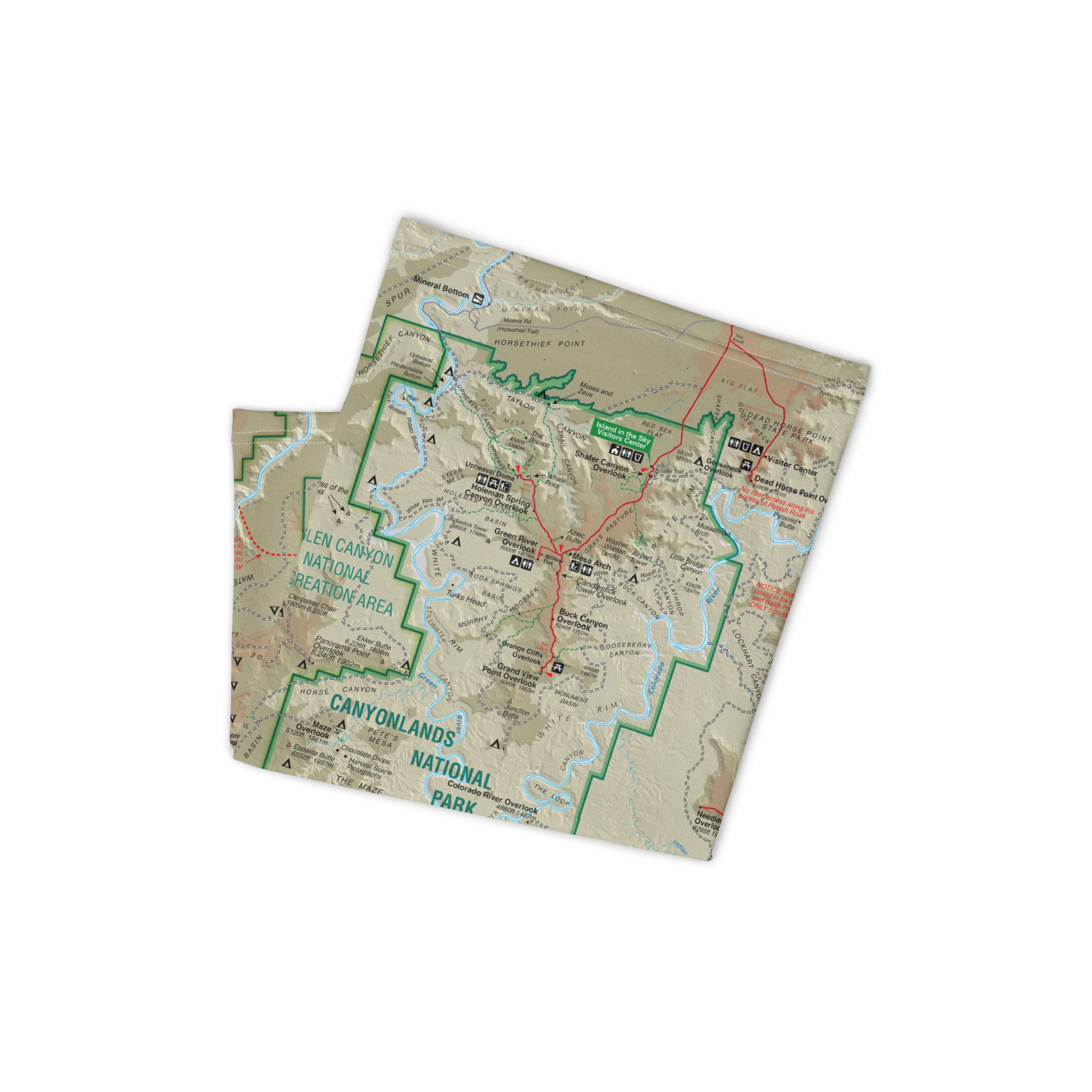
Crafted from a soft, breathable polyester-spandex blend, this gaiter offers 12+ ways to wear it—as a face covering, neck guard, headband, balaclava, and more. Whether you’re navigating Island in the Sky, backpacking through The Needles, or dreaming of The Maze, it keeps you cool, covered, and connected to the land.
Trail-Tested Features:
-
Full-color, GPS-accurate map of Canyonlands National Park
-
Highlights major districts, trailheads, roads, and overlooks
-
Lightweight, moisture-wicking, and breathable
-
UPF 50+ sun protection—essential in exposed desert terrain
-
2-way stretch for a secure, comfortable fit
-
Machine washable and built to last
-
One size fits all—flexible and versatile
The Perfect Souvenir—and a Standout for Retailers
More than just gear, this gaiter is a functional keepsake and a meaningful gift. With strong appeal for hikers, road trippers, photographers, and national park enthusiasts, it’s a proven bestseller for visitor centers, outfitters, and Moab-area retailers. Eye-catching on the shelf and indispensable on the trail—it’s a product that tells a story.
Where Land, Time, and Memory Converge
Canyonlands is a place of scale and solitude—of winding canyons, ancient rock, and endless discovery. The GPS Map Neck Gaiter lets you carry that experience forward, wherever your path leads next.
X FIBER - A BREATHABLE FABRIC UNLIKE ANY OTHER
X GUARD MULTIFACETED FACE WEAR
