Capitol Reef National Park GPS Map Neck Gaiter
The Ultimate Capitol Reef National Park Neck Gaiter
Where sandstone domes rise like cathedrals and orchards bloom beneath red cliffs—this is the gear that journeys through time and terrain.
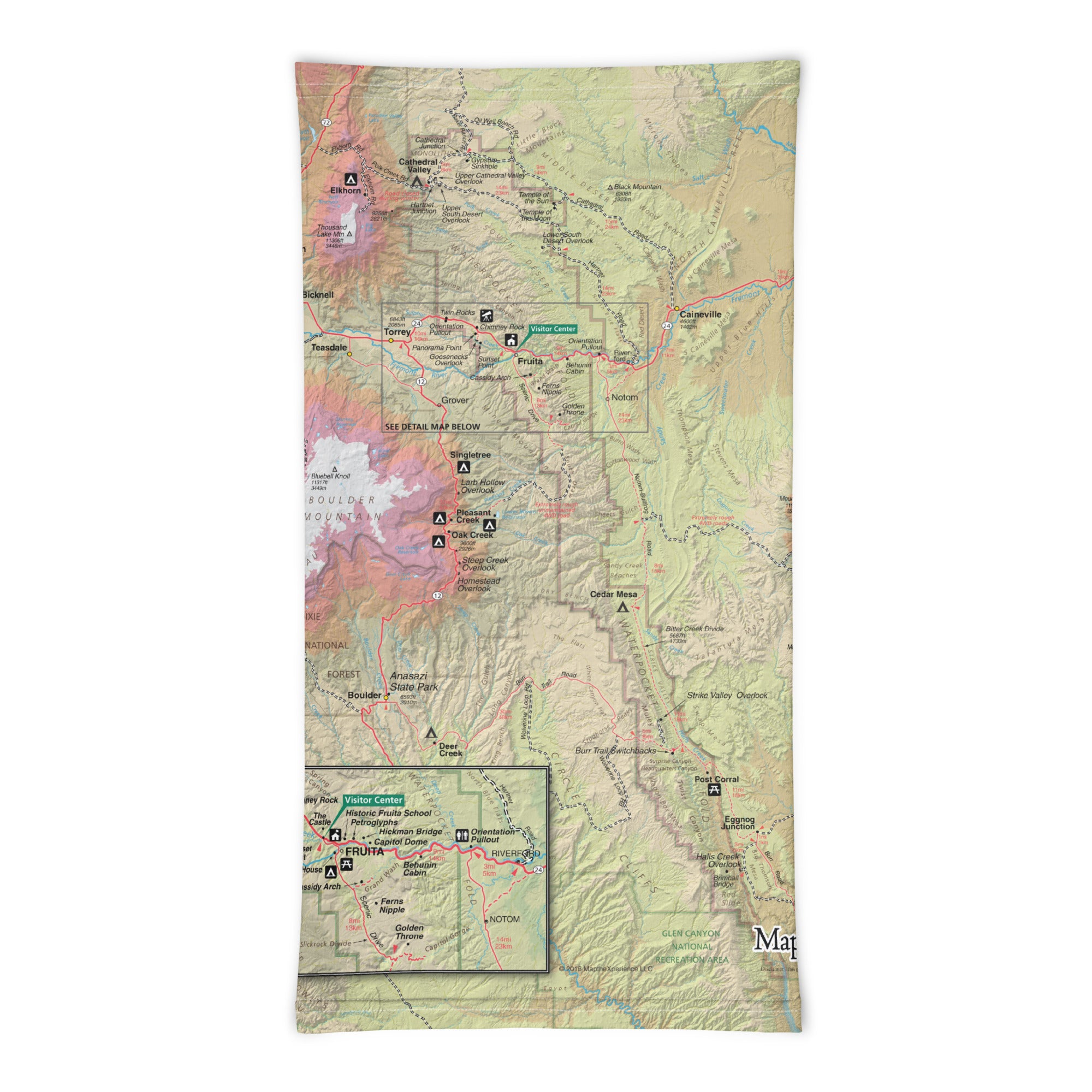
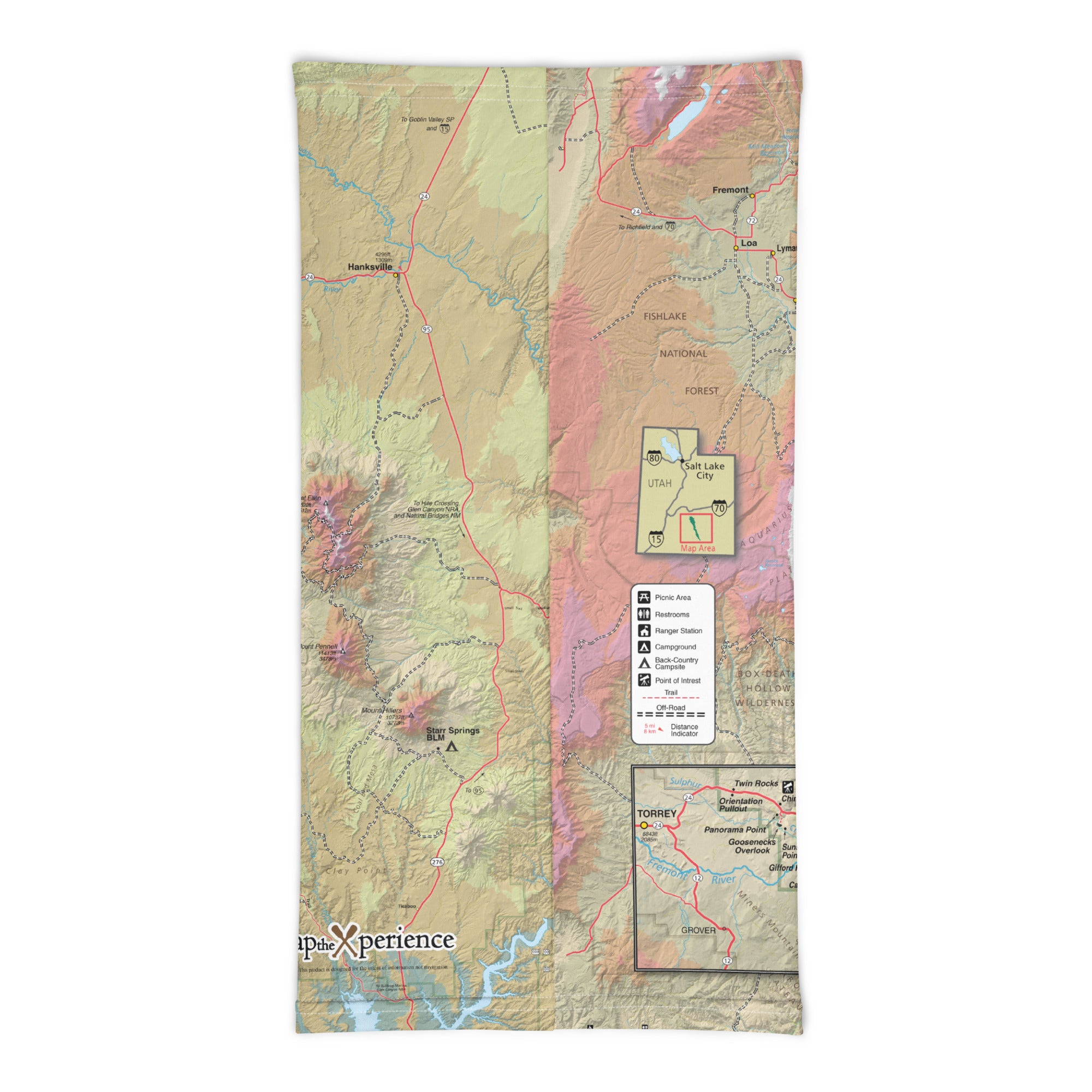
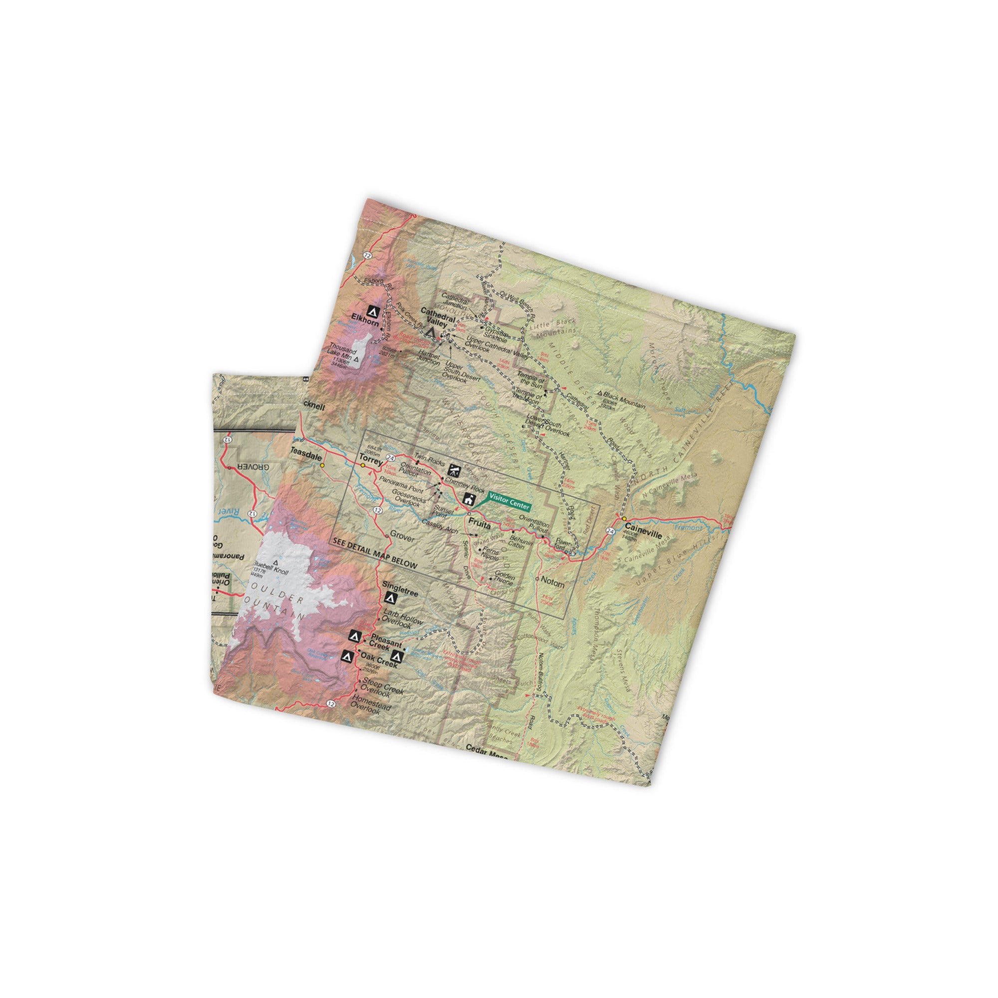
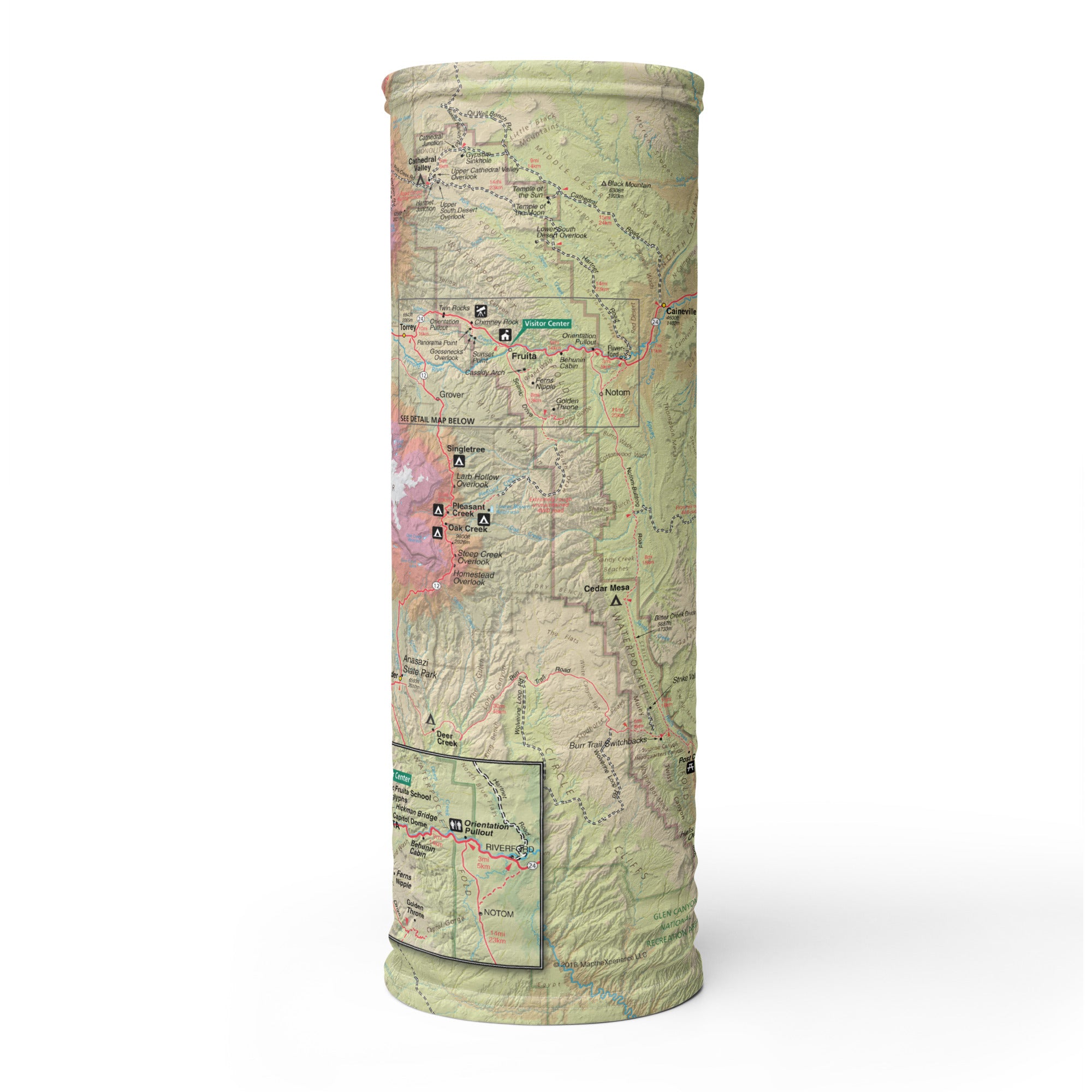
The Capitol Reef GPS Map Neck Gaiter is a one-of-a-kind outdoor essential made for explorers of Utah’s best-kept secret. Featuring a full-color, GPS-accurate map of Capitol Reef National Park, it’s designed for high desert hikes, scenic drives, backcountry treks, and quiet strolls through the historic Fruita district.
Explore the Fold. Stay Covered.
Crafted from a soft, breathable polyester-spandex blend, this gaiter offers 12+ ways to wear it—face cover, neck shield, balaclava, headband, and more. Whether you're climbing to Cassidy Arch, hiking through Capitol Gorge, or picking apples in the orchard, this gaiter delivers comfort, sun protection, and topographic awareness in one packable piece.
Trail-Ready Features:
-
GPS-accurate, full-color map of Capitol Reef National Park
-
Highlights trails, scenic routes, landmarks, and geologic features
-
Lightweight, breathable, moisture-wicking fabric
-
UPF 50+ sun protection—ideal for exposed red rock landscapes
-
2-way stretch for a snug, adaptive fit
-
One size fits all—trail-tough and easy to pack
-
Machine washable and made for repeated use
A Thoughtful Souvenir—and a Smart Choice for Retailers
More than just gear, this gaiter is a wearable tribute to a place of solitude, story, and sandstone. It’s the perfect gift for hikers, national park travelers, and fans of the Mighty Five—and a top-performing product for visitor centers, park stores, outfitters, and gift retailers. Eye-catching, useful, and meaningful, it connects deeply with customers and adventurers alike.
Where Stone Folds, Trails Wind, and Memory Lingers
Capitol Reef is a place of quiet beauty and wild discovery—and the GPS Map Neck Gaiter lets you take that journey with you. Whether on trail or off the beaten path, it helps you stay protected, stay present, and always know where you stand.
X FIBER - A BREATHABLE FABRIC UNLIKE ANY OTHER
X GUARD MULTIFACETED FACE WEAR
