Colorado River Watershed Fly Fishing Map | Public Access Guide
Colorado River Watershed Fishing Map
Big Water. Big Coverage. Bigger Possibilities.
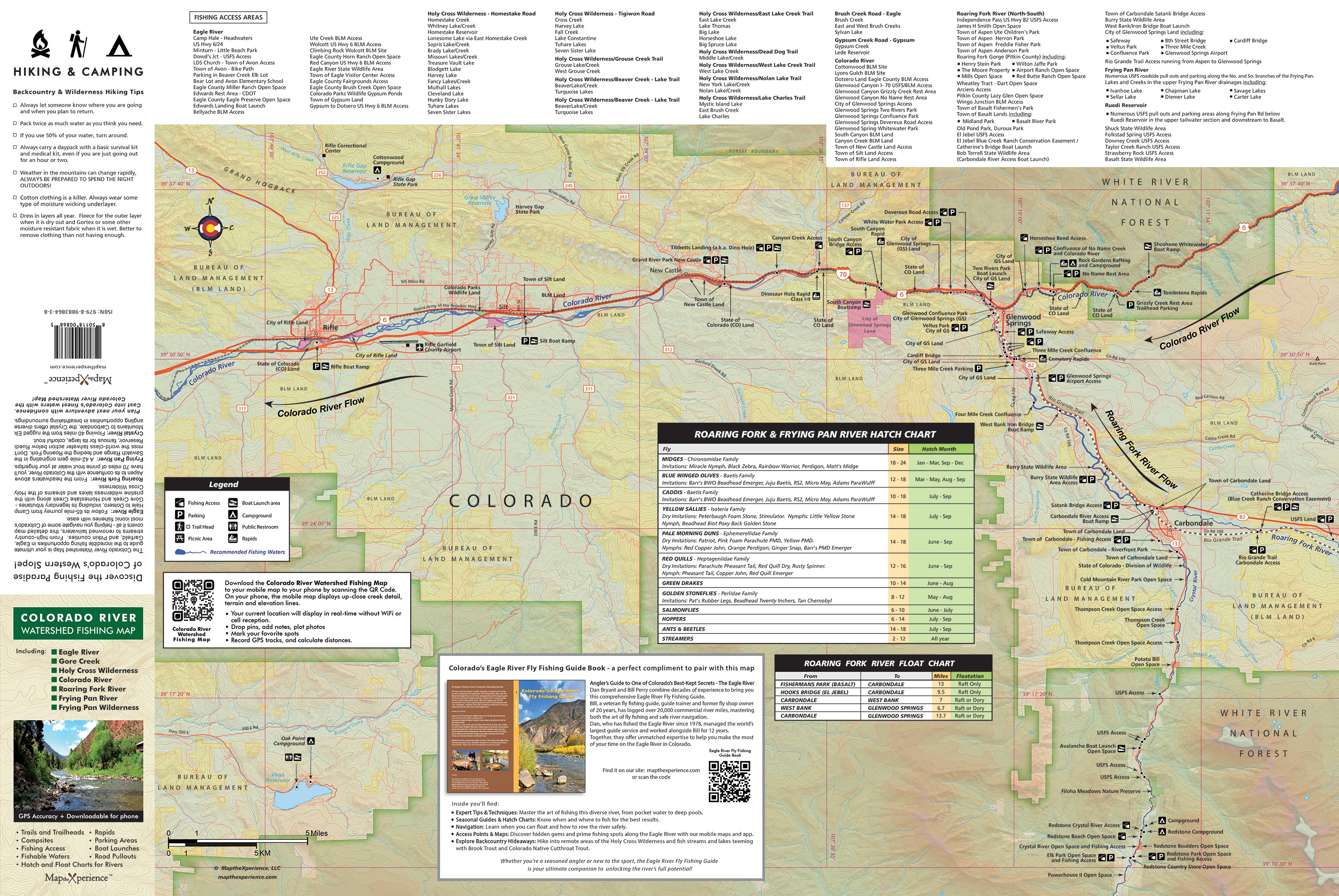
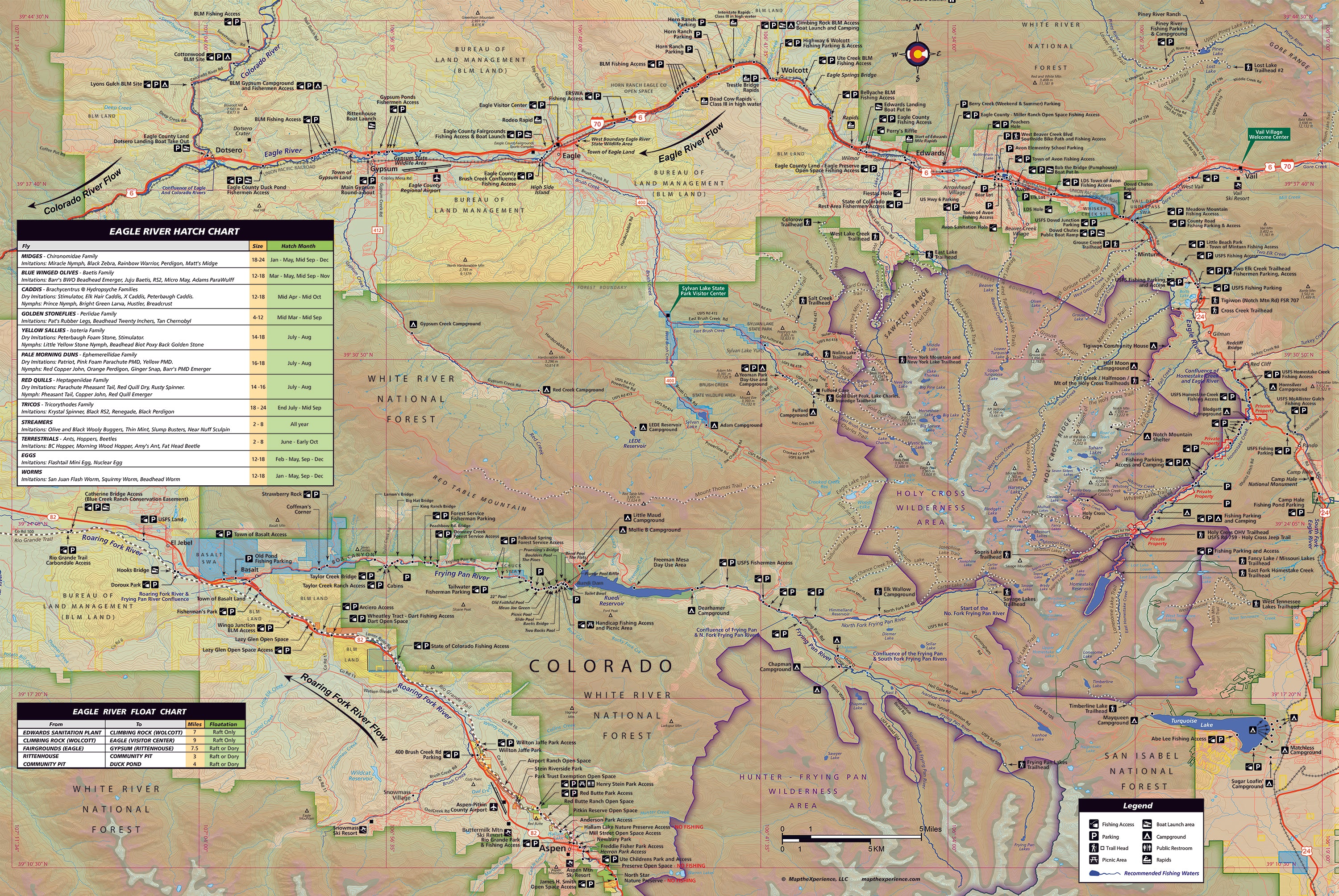
This isn’t just a map—it’s your all-in-one command center for fly fishing across Colorado’s most iconic trout rivers. Covering more than 150 miles of legendary water, this full-color, 36” x 24” map replaces our previous Eagle and Roaring Fork pocket guides—now upgraded, expanded, and more powerful than ever.
Folded to a portable 4” x 8”, it’s built for anglers who roam, whether you're hiking tight canyons, drifting wide water, or chasing hatches across the high country.
Covers the Waters You Dream About:
- Eagle River – From Camp Hale to Dotsero
- Gore Creek – From the Gore Range to the Eagle
- Colorado River – From Dotsero to Rifle
- Roaring Fork River – From Independence Pass to Glenwood Springs
- Fryingpan River – From the Hunter-Fryingpan Wilderness to Basalt
- Crystal River & More – Including remote gems in the Holy Cross and Hunter-Fryingpan Wilderness areas
Built to Help You Fish Smarter:
- Public land boundaries – federal, state, county, and city lands clearly marked
- Exclusive parking spots – access points not found on any other map
- Floaters’ guide – with put-ins, take-outs, rapids, and mileage chart
- Hatch charts – for matching the hatch on each river
- Campsites, trails & trailheads – perfect for planning day trips or multi-day excursions
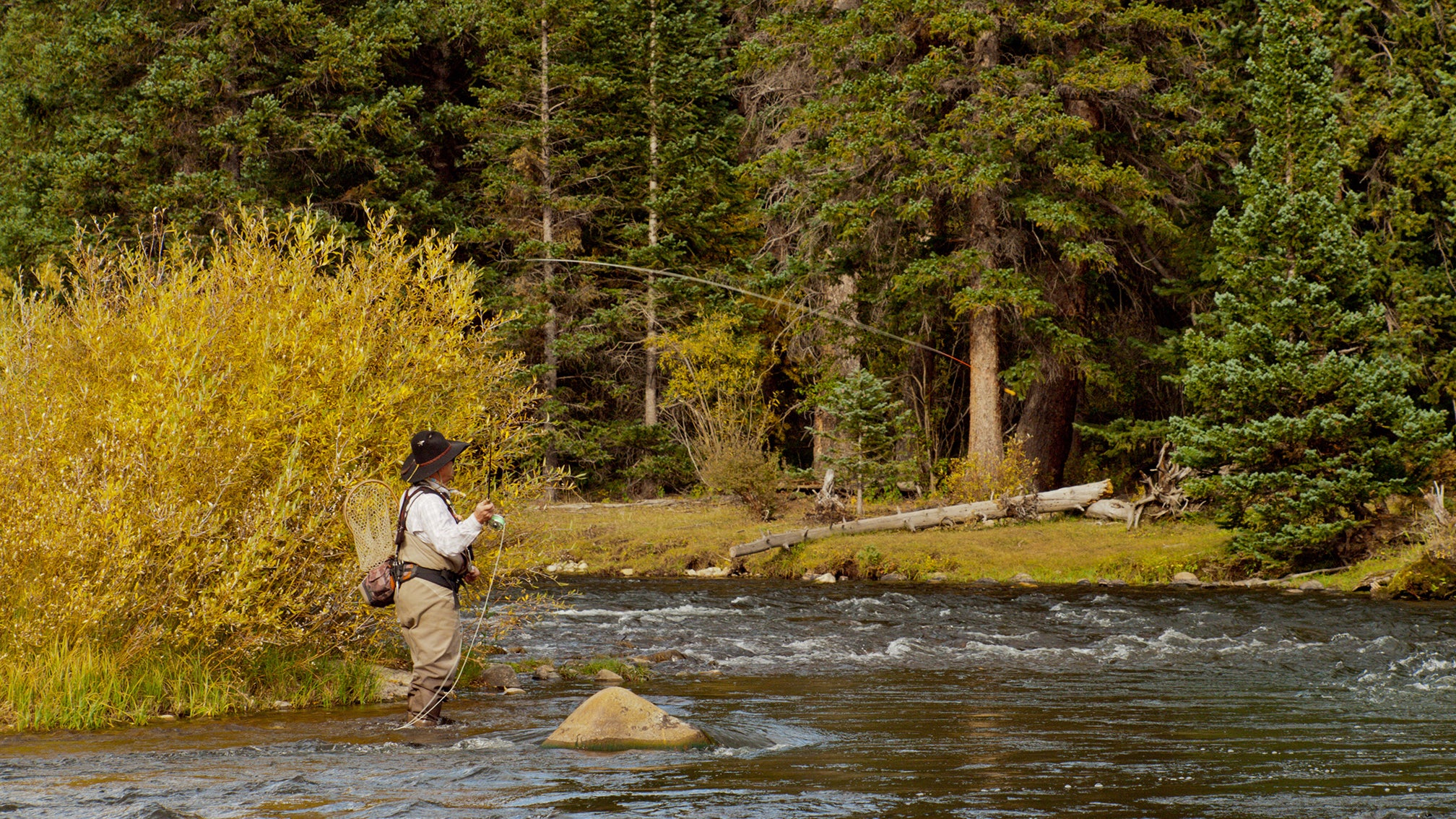
From stalking risers on the Fryingpan to floating boulder-strewn runs on the Colorado, this is your one-map solution for navigating six legendary river systems with local-level confidence.
Don’t just fish Colorado—know it, master it, and take your adventure further.
Details
This product is crafted with quality materials to ensure durability and performance. Designed with your convenience in mind, it seamlessly fits into your everyday life.
Shipping & Returns
We strive to process and ship all orders in a timely manner, working diligently to ensure that your items are on their way to you as soon as possible.
We are committed to ensuring a positive shopping experience for all our customers. If for any reason you wish to return an item, we invite you to reach out to our team for assistance, and we will evaluate every return request with care and consideration.


