Skip to product information

Death Valley National Park GPS Map Neck Gaiter
$24.95
Shipping calculated at checkout.
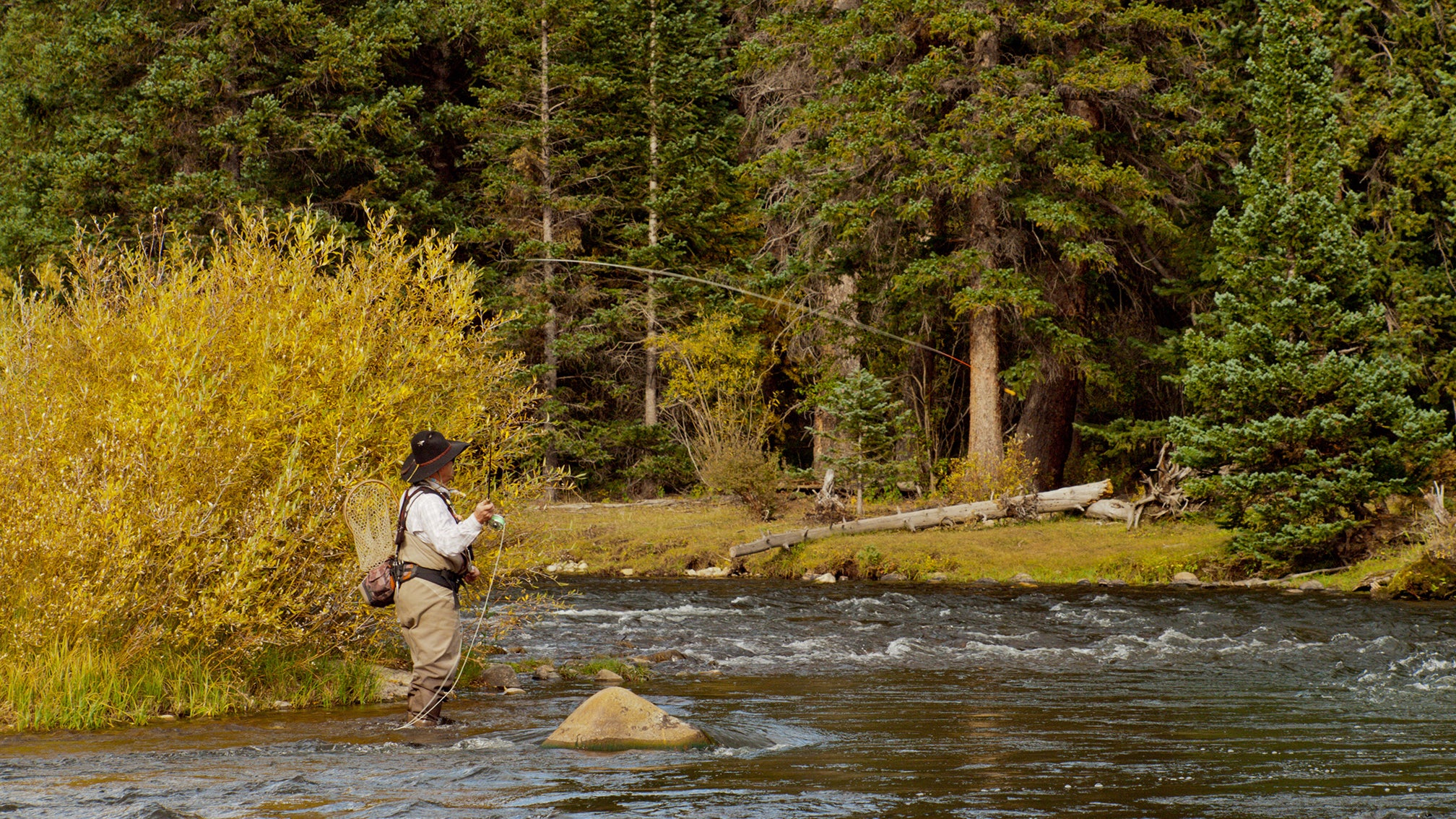
The Ultimate Death Valley National Park Souvenir
More than just a cleaning cloth—it’s a functional tribute to the raw, rugged beauty of the hottest, driest, and lowest place in North America.
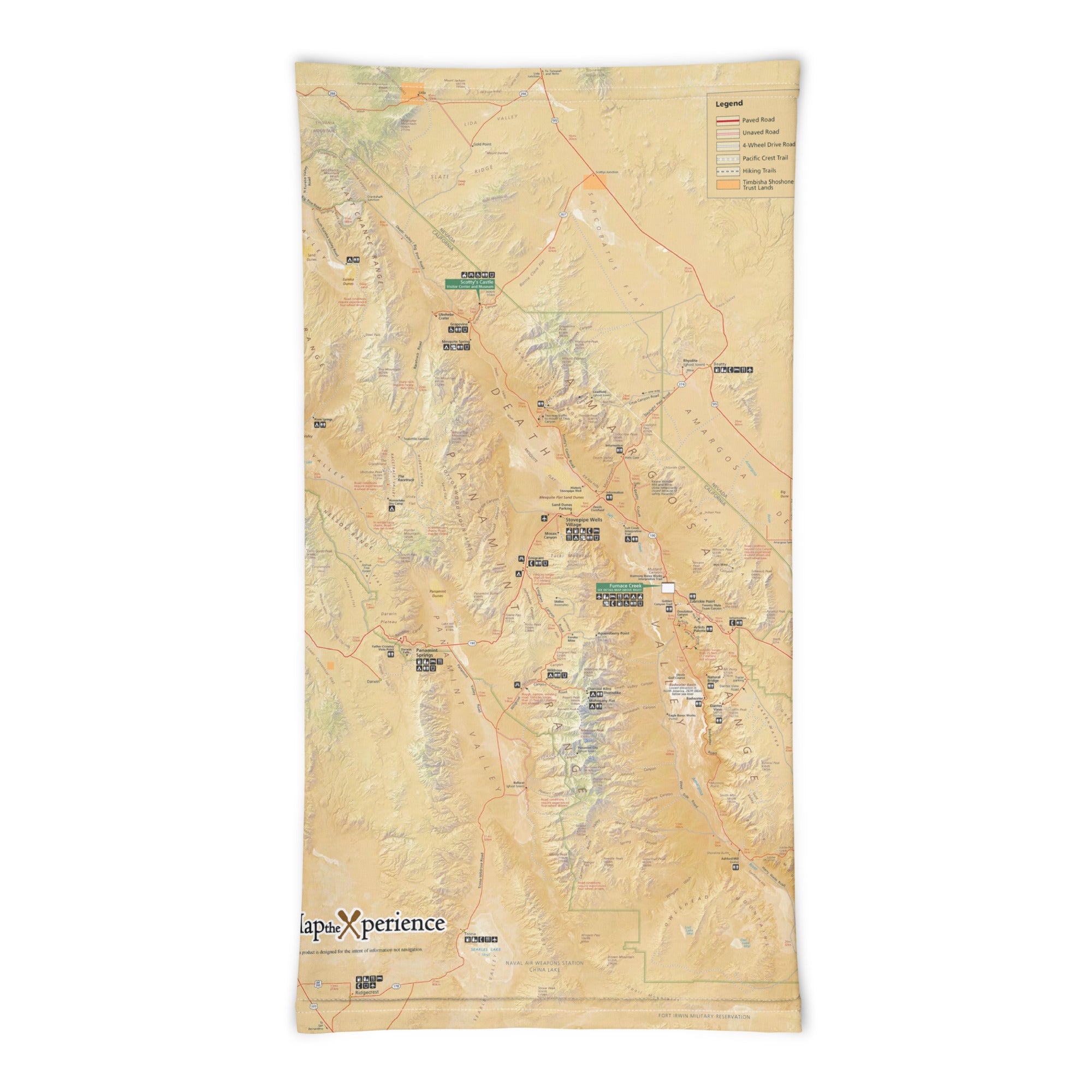
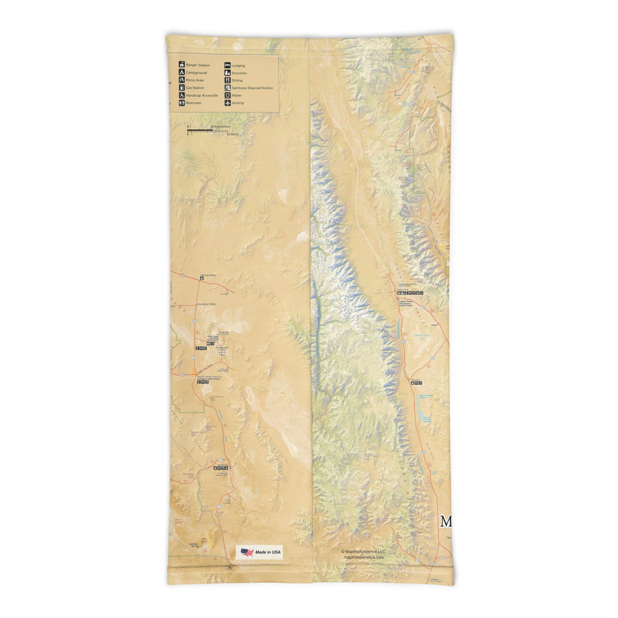
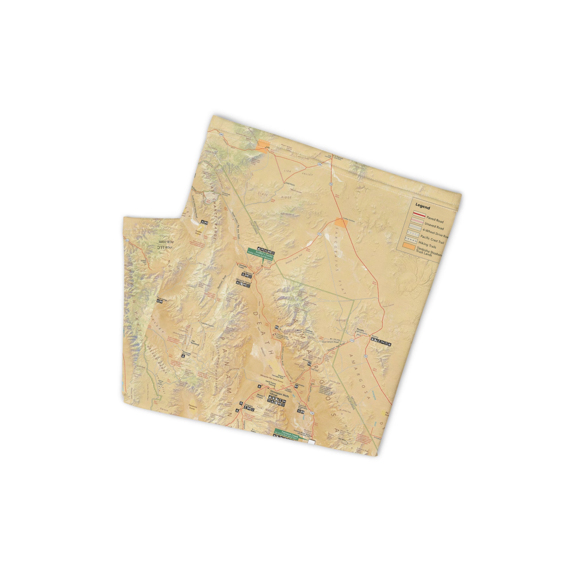
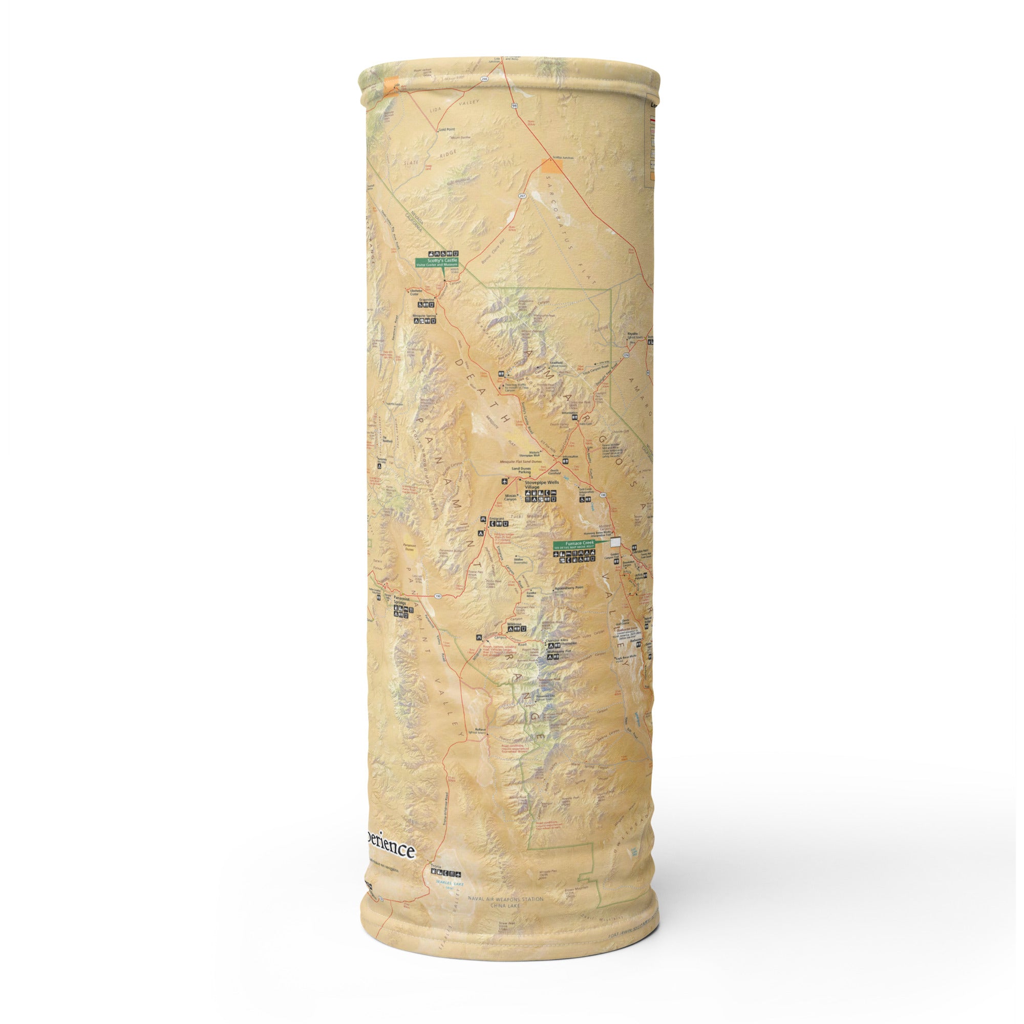
This premium microfiber cloth features a full-color, GPS-accurate map of Death Valley National Park, highlighting iconic locations like Badwater Basin, Zabriskie Point, Dante’s View, and Mesquite Flat Sand Dunes. Made from ultra-soft, scratch-free fabric, it’s ideal for cleaning sunglasses, phone screens, camera lenses, and optics. Even better—it doubles as a fabulous bandana, headband, scarf, or cooling towel in the harsh desert sun.
Why It Belongs in Everyone's Collection and Every Shop:
-
GPS-accurate map of Death Valley National Park
-
Ultra-soft microfiber—safe for lenses, screens, and glass
-
22” x 22” — lightweight, breathable, and quick-drying
-
Excellent as a bandana, headband, scarf, or cooling towel
-
Machine washable and built to withstand the elements
-
A distinctive, high-impact souvenir for desert explorers
Where Desert Extremes Meet Everyday Function
From golden canyons to salt flats and starry skies, this cloth is your trail-ready reminder of the wild heart of the desert. A must-have for park shops, desert outfitters, and those who thrive where few dare to roam.
Details
This product is crafted with quality materials to ensure durability and performance. Designed with your convenience in mind, it seamlessly fits into your everyday life.
Shipping & Returns
We strive to process and ship all orders in a timely manner, working diligently to ensure that your items are on their way to you as soon as possible.
We are committed to ensuring a positive shopping experience for all our customers. If for any reason you wish to return an item, we invite you to reach out to our team for assistance, and we will evaluate every return request with care and consideration.