

Glacier National Park GPS Map Neck Gaiter
Crowned by towering peaks, carved by ancient ice, and threaded with alpine trails, Glacier National Park is a place where wilderness still reigns. The Glacier National Park GPS Map Neck Gaiter features a beautifully detailed, GPS-accurate overview map of the park—perfect for hikers, backpackers, photographers, and road trippers navigating the Crown of the Continent.
Mountain-Ready Performance:
-
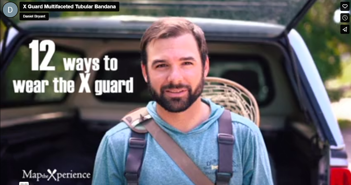
Wear it 12+ ways — as a neck gaiter, face covering, headband, balaclava, sun guard, and more
-
One size fits all — ultra-soft, stretchable fabric ensures a secure, all-day fit
-
Made from a premium polyester-spandex blend that’s breathable, moisture-wicking, and quick-drying
-
Lightweight, machine washable, and designed for high-output adventures
-
UPF 50+ sun protection — a must for exposed alpine trails and sunny ridge hikes
Includes Free Mobile Map
Each gaiter includes a free downloadable GPS-enabled map of Glacier National Park
-
Works offline in the Avenza Maps App — no cell signal or Wi-Fi needed
-
Track your real-time location along Going-to-the-Sun Road, the Highline Trail, backcountry campsites, and more
From Hidden Lake to Grinnell Glacier, this gaiter keeps you cool, protected, and oriented in one of America’s most majestic and wild landscapes.
X FIBER - A BREATHABLE FABRIC UNLIKE ANY OTHER
X GUARD MULTIFACETED FACE WEAR

