

Grand Canyon National Park GPS Map Neck Gaiter
Vast, timeless, and humbling—Grand Canyon National Park is one of the world’s most iconic natural wonders. The Grand Canyon GPS Map Neck Gaiter features a beautifully detailed, GPS-accurate overview of the park, including South Rim, North Rim, and major trails and overlooks. Designed for hikers, rafters, photographers, and explorers, this gaiter blends protection, performance, and real navigation in one versatile piece of gear.
Adventure-Ready Features:
-
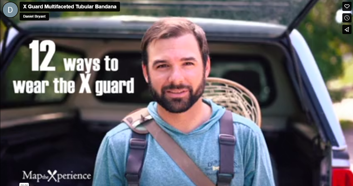
Wear it 12+ ways — as a neck gaiter, face covering, headband, balaclava, bandana, and more
-
One size fits all — ultra-soft stretch fabric offers a secure and comfortable fit
-
Made from a durable polyester-spandex blend for breathable, quick-drying comfort
-
Moisture-wicking, lightweight, machine washable, and ready for the canyon heat
-
UPF 50+ sun protection — critical for exposed hikes along the rim and deep in the canyon
Includes Free Mobile Map
Each gaiter includes a free downloadable GPS-enabled map of Grand Canyon National Park
-
Works offline in the Avenza Maps App — no cell service or Wi-Fi required
-
Track your real-time location on popular trails like Bright Angel and South Kaibab, or along the Colorado River
From sunrise at Mather Point to the depths of Phantom Ranch, this gaiter keeps you cool, covered, and confidently navigating one of the most awe-inspiring landscapes on Earth.
X FIBER - A BREATHABLE FABRIC UNLIKE ANY OTHER
X GUARD MULTIFACETED FACE WEAR

