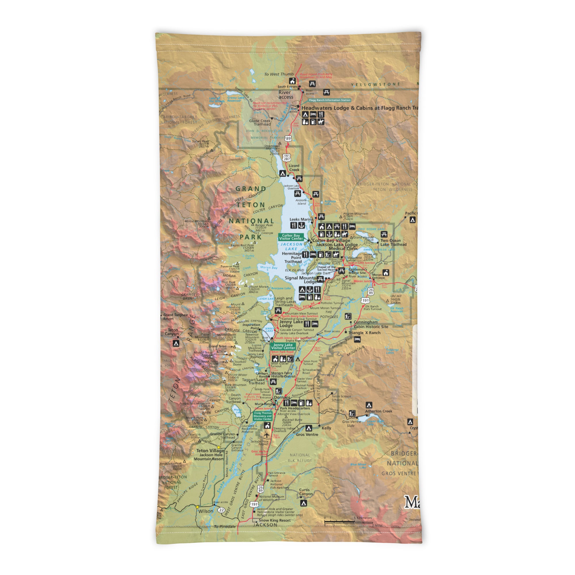
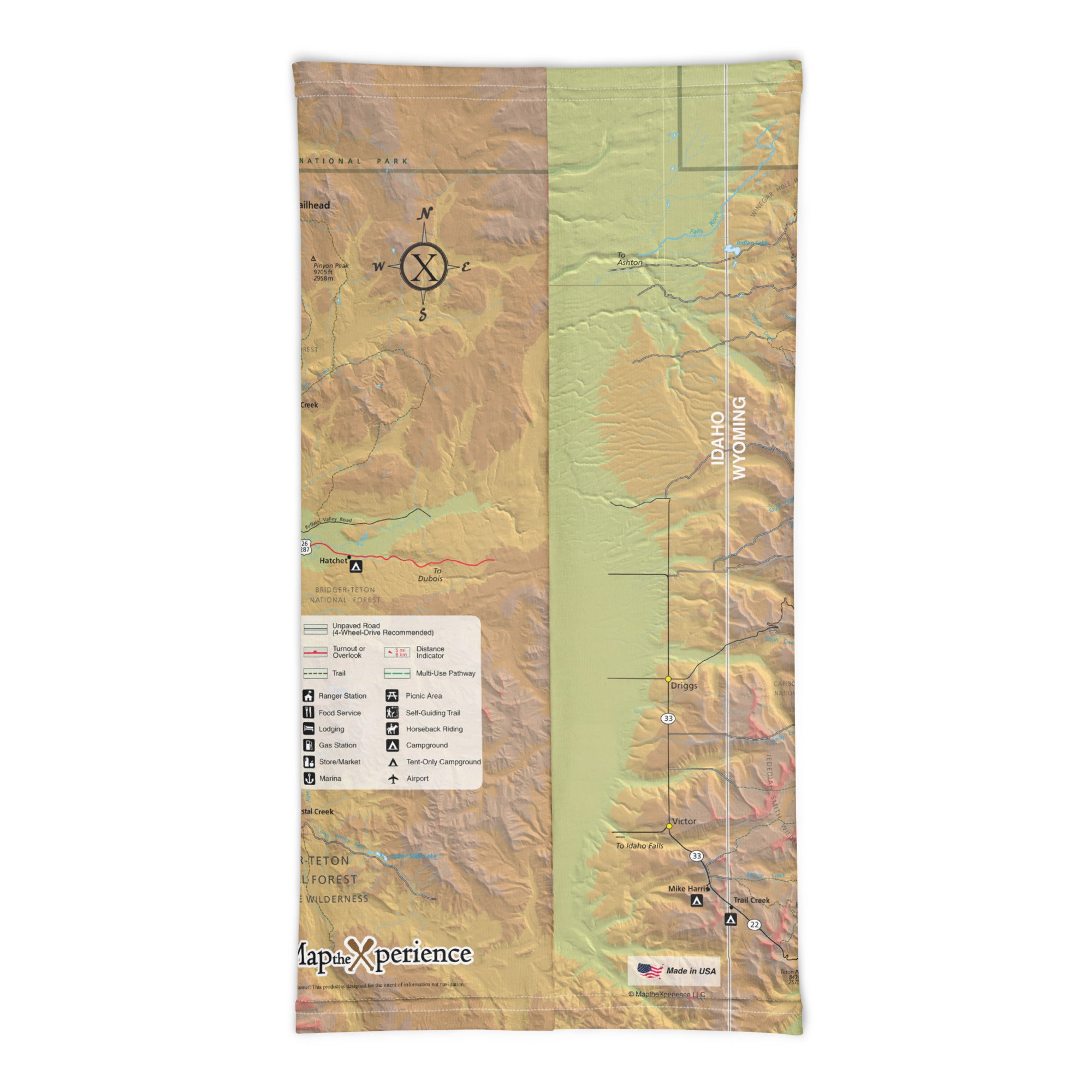
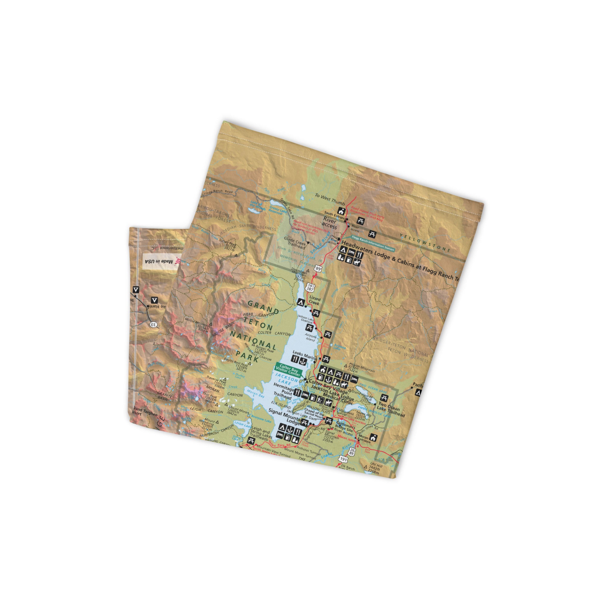
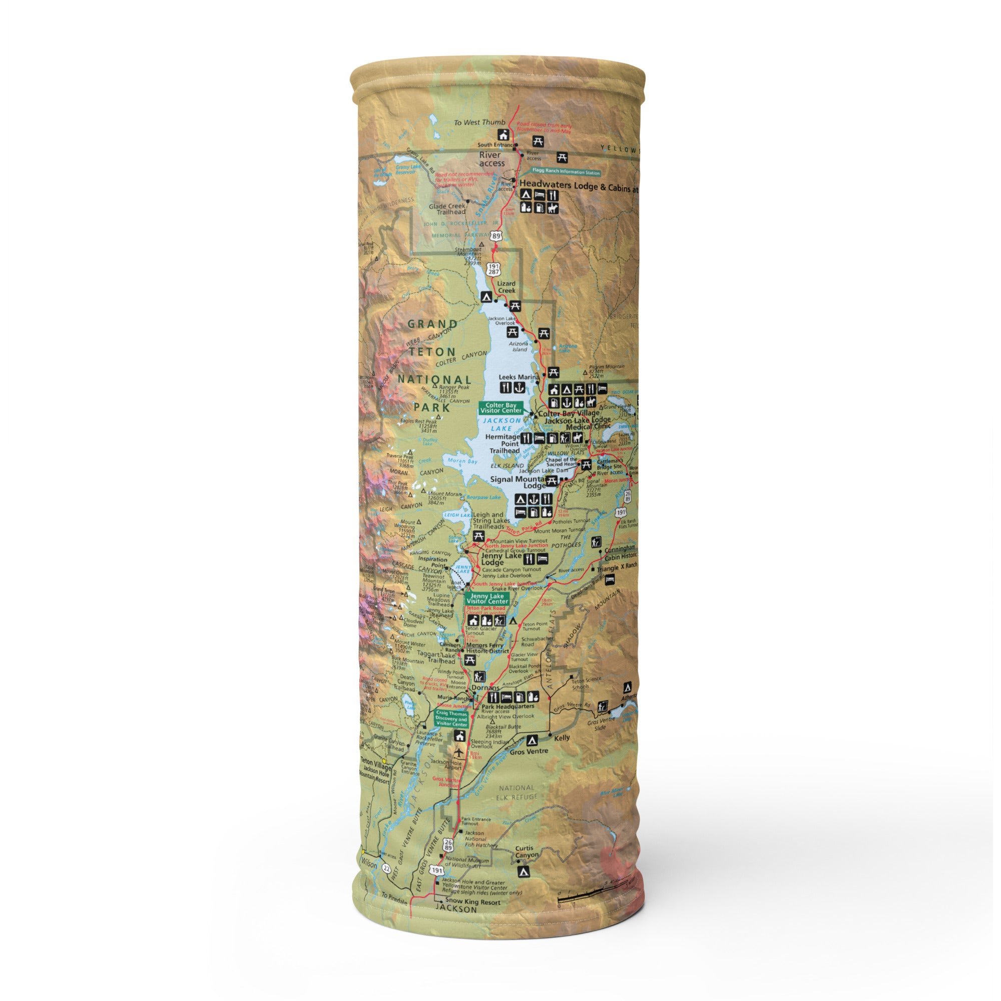
Grand Teton National Park GPS Map Neck Gaiter
With jagged peaks, glacier-fed lakes, and rich wildlife habitat, Grand Teton National Park is a haven for hikers, climbers, anglers, and outdoor enthusiasts. The Grand Teton GPS Map Neck Gaiter features a detailed, GPS-accurate overview of the park—perfect for navigating iconic trails, scenic drives, and alpine terrain with confidence and style.
High-Altitude Ready:
-
Wear it 12+ ways — as a neck gaiter, face covering, headband, balaclava, sun shield, and more
-
One size fits all — soft, stretchy, and designed for all-day comfort in the backcountry
-
Crafted from a breathable polyester-spandex blend that’s moisture-wicking, lightweight, and quick-drying
-
2-way stretch, machine washable, and rugged enough for daily use
-
UPF 50+ sun protection — essential for open trails and alpine exposure
Includes Free Mobile Map
Each gaiter includes a free downloadable GPS-enabled map of Grand Teton National Park
-
Works offline in the Avenza Maps App — no signal or Wi-Fi required
-
Track your real-time location on trails like Cascade Canyon, Paintbrush Divide, Jenny Lake, and more
From sunrise paddles on Jackson Lake to summit attempts on the Grand, this gaiter keeps you cool, covered, and precisely on course in one of America’s most stunning mountain parks.
X FIBER - A BREATHABLE FABRIC UNLIKE ANY OTHER
X GUARD MULTIFACETED FACE WEAR
