
Grand Teton National Park | Hiking Trail Map | Fishing Map | Avenza Map App
Take your adventures to the next level with our Grand Teton National Park Hiking Trails and Fishing Mobile Map on the Avenza Map App. Venture into the areas of the park you have only dreamed of exploring and never get lost.
No cell service or wifi? No problem! Maps work without a wifi or cell phone connection. Scan the QR Code which will take you to the Map the Xperience Avenza Map Store or click this link.
Once downloaded, a Blue GPS dot will guide you in real time to your desired destination.
- This map includes every hiking trail over 1 mile in length designated by difficulty, (Green-Easy, Blue-Intermediate, Black-Advanced)
- Includes all park points of interest, every backcountry campsite location, park information, safety tips and bear safety tips.
- Includes all fishable waters in the park
- We create all our maps with you, the end user in mind
- We keep it simple and make our maps clear and easy to read
- We include the information that you want and need to enjoy your trip
This map could save your life. If you have cell service, you can text or call your exact location to emergency service personel.
Tips: Use your phone in airplane mode and turn off all uneccessary apps to conserve power. Do not record GPS tracks. Simply drop waypoints if hiking, and navigate on your return from waypoint to waypoint. Carry a portable phone charger.
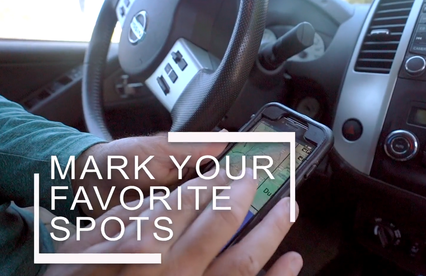
Avenza Map App features

