

Great Smoky Mountains National Park Hiking Trail Map | Paper + Mobile GPS Guide
Explore the Smokies with the Ultimate Hiking Trail Map
(Great Smoky Mountains National Park – Waterfalls, Ridges & Remote Trails Mapped in Detail)
Pocket-sized in your pack. Powerfully detailed on the trail. Built for day hikers, thru-hikers, and smart retailers.
Ready to go farther, climb higher, and experience the wild beauty of Appalachia’s crown jewel? Our Great Smoky Mountains National Park Hiking Trail Map is your essential guide to America’s most visited national park. From the panoramic heights of Clingmans Dome and Mount Le Conte to the cascading waters of Abrams Falls and the solitude of Deep Creek, this map was made for hikers who want more than just a walk in the woods.
Whether you're taking the family on a waterfall loop or heading deep into the backcountry for a multi-day trek, this field-tested, GPS-accurate map gives you everything you need to hike with confidence, purpose, and clarity.
Why Hikers Love This Map:
-
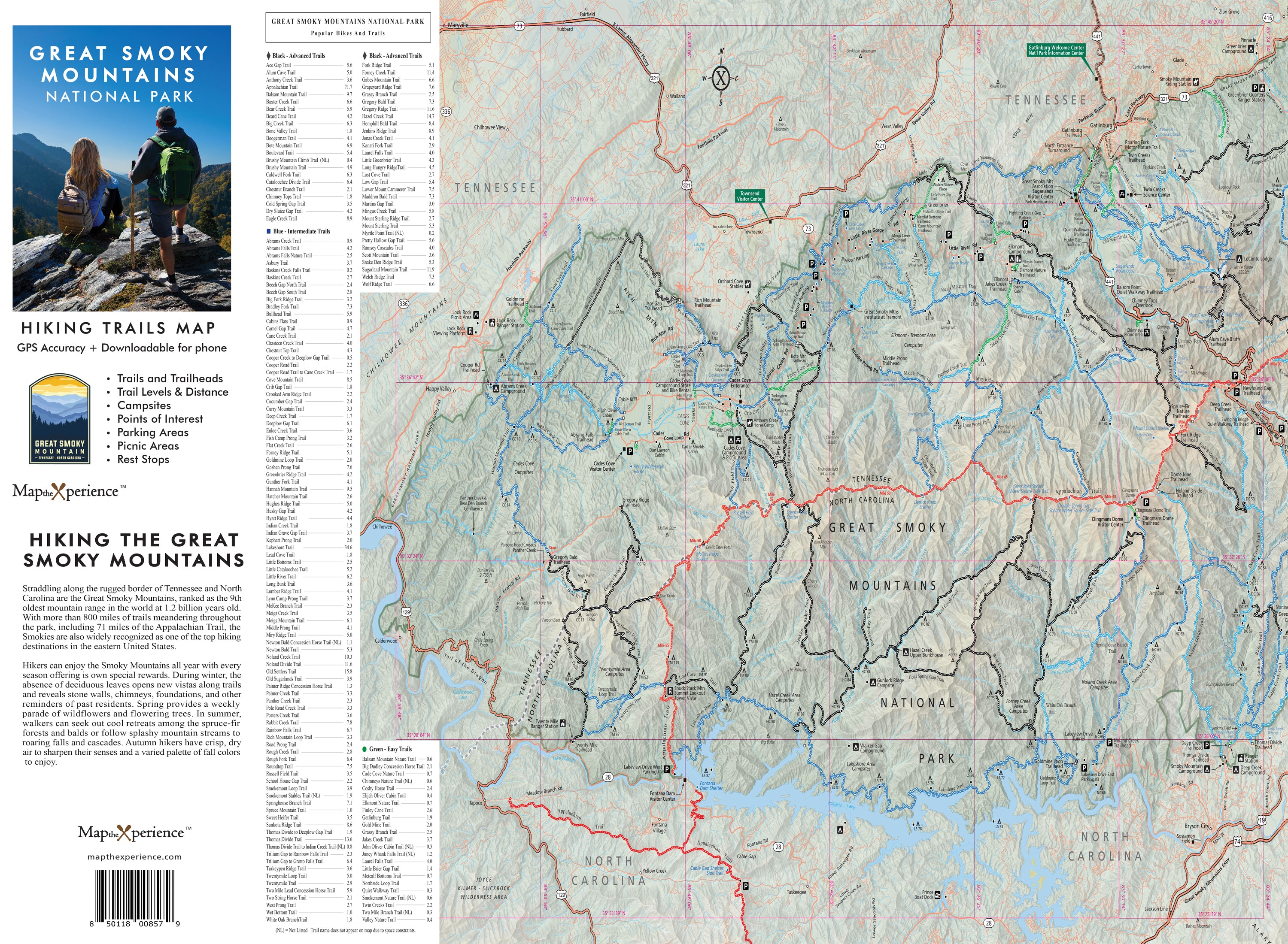
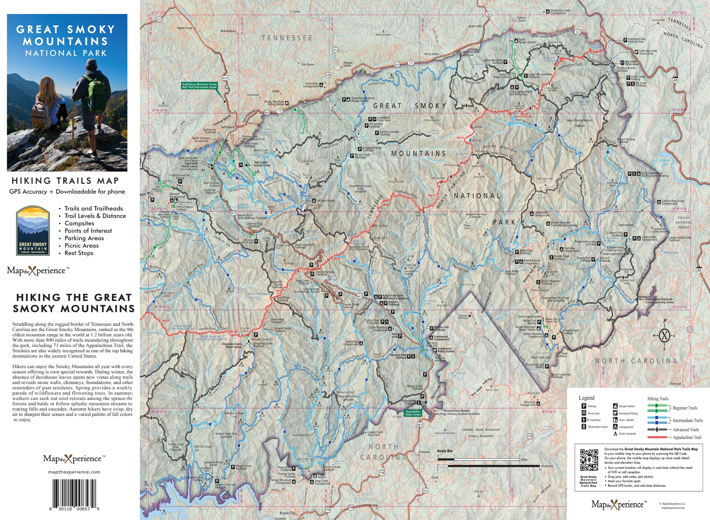
Full coverage of all official park trails, campsites, waterfalls, scenic overlooks, and backcountry routes
-
Trailheads, mileage, elevation profiles, and key waypoints clearly marked
-
Difficulty ratings to help you choose the right hike:
🟢 Easy – Ideal for casual hikers and families
🔵 Moderate – Great for distance, views, and elevation
⚫ Difficult – Rugged terrain for seasoned adventurers
Trail-Tested and Adventure-Ready
Sized at 36” x 24” and folded down to a trail-ready 4” x 8”, this high-resolution, waterproof, and tear-resistant map is perfect for planning at home, navigating at the trailhead, or checking mid-hike in the deep forest.
Zoom in for precise trail detail, track your real-time location on the trail, and seamlessly cross-reference with your printed map via a QR Code even far off the grid with no cell signal.
Retailers: Want to Offer Something That Sells Itself?
This map is a must-have for outdoor shops, park stores, outfitters, and visitor centers across the Smoky Mountains region. Locally designed, hiker-approved, and packed with value, it’s the perfect grab-and-go tool for both first-time visitors and seasoned explorers.
Don’t just hike the Smokies—know them, explore them, and make every mile count.
Hike prepared. Go farther. Discover the Smokies.
