Green River Utah Fly Fishing Map | Public Access Guide
Green River Fishing Map – Utah
(Flaming Gorge Tailwater: Sections A, B & C to Swinging Bridge)
Fish smarter, not harder.
This detailed Green River Fishing Map was created by local anglers who know the river firsthand—because they’ve spent decades fishing, floating, and studying one of the most famous tailwater fisheries in the West.
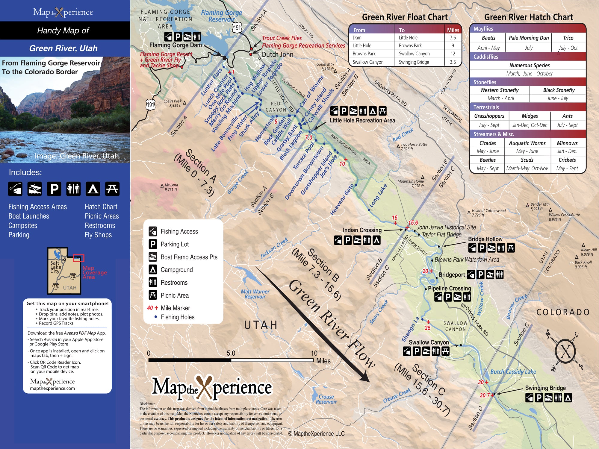
Covering the Green River below Flaming Gorge Reservoir, this map focuses on Sections A, B, and C downstream to the Swinging Bridge, clearly showing where you can legally access and fish this highly regulated, world-class tailwater. Public lands and access points are presented in a clean, easy-to-read format designed for real use on the water.
Tailwater Sections – Below Flaming Gorge Dam:
This map provides detailed coverage of the Green River tailwater immediately below Flaming Gorge Dam, where cold, consistent flows create exceptional year-round trout habitat.
-
Section A – From the dam downstream, known for technical wade fishing and consistent insect life
-
Section B – A mix of wade and float access with varied water types
-
Section C – Popular float water extending to the Swinging Bridge
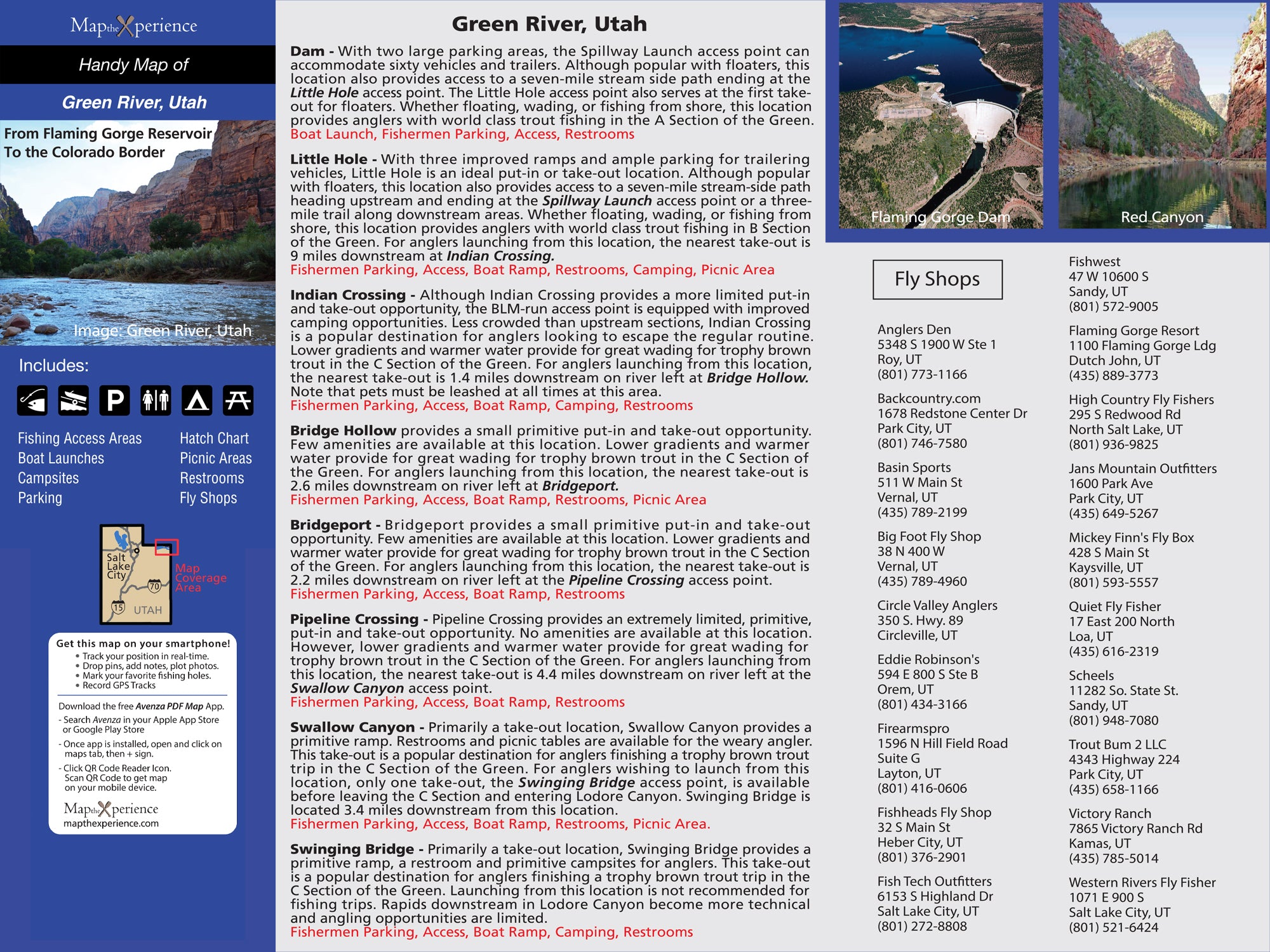
Each section is clearly identified with access points, walk-in areas, and parking locations, making it easier to move between stretches efficiently and legally.
What’s Included:
-
Clearly marked public lands, including federal, state, county, and city ownership
-
Public fishing access points throughout Sections A, B, and C
-
River miles, bridges, and key reference points
-
Trails and walk-in access areas
-
Parking locations not found on other maps, identified through local knowledge
-
High-resolution cartography designed for outdoor navigation and trip planning
Why Anglers Love It:
Unlike generic fishing maps, this map focuses on tailwater access clarity, so you know exactly where you’re allowed to be on one of the most heavily fished rivers in the country. The added parking data makes it easier to get on and off the river while respecting private land boundaries.
Available Formats:
-
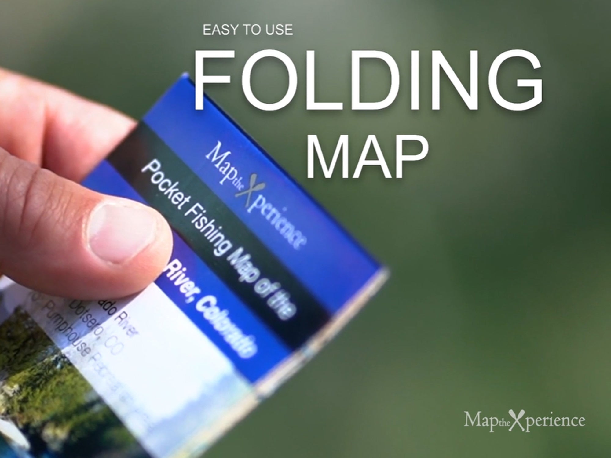
Folded Paper Map – 15x12" unfolded, 3x6" folded pocket guide, ideal for fly shops, travel, and glove boxes
-
GPS Mobile Map – Compatible with Avenza Maps for offline navigation
Whether you’re wading Section A, floating through Section B, or drifting down to the Swinging Bridge, this map helps you spend less time searching for access—and more time fishing.
Details
This product is crafted with quality materials to ensure durability and performance. Designed with your convenience in mind, it seamlessly fits into your everyday life.
Shipping & Returns
We strive to process and ship all orders in a timely manner, working diligently to ensure that your items are on their way to you as soon as possible.
We are committed to ensuring a positive shopping experience for all our customers. If for any reason you wish to return an item, we invite you to reach out to our team for assistance, and we will evaluate every return request with care and consideration.


