Skip to product information

Joshua Tree National Park GPS Map Neck Gaiter
$24.95
Shipping calculated at checkout.
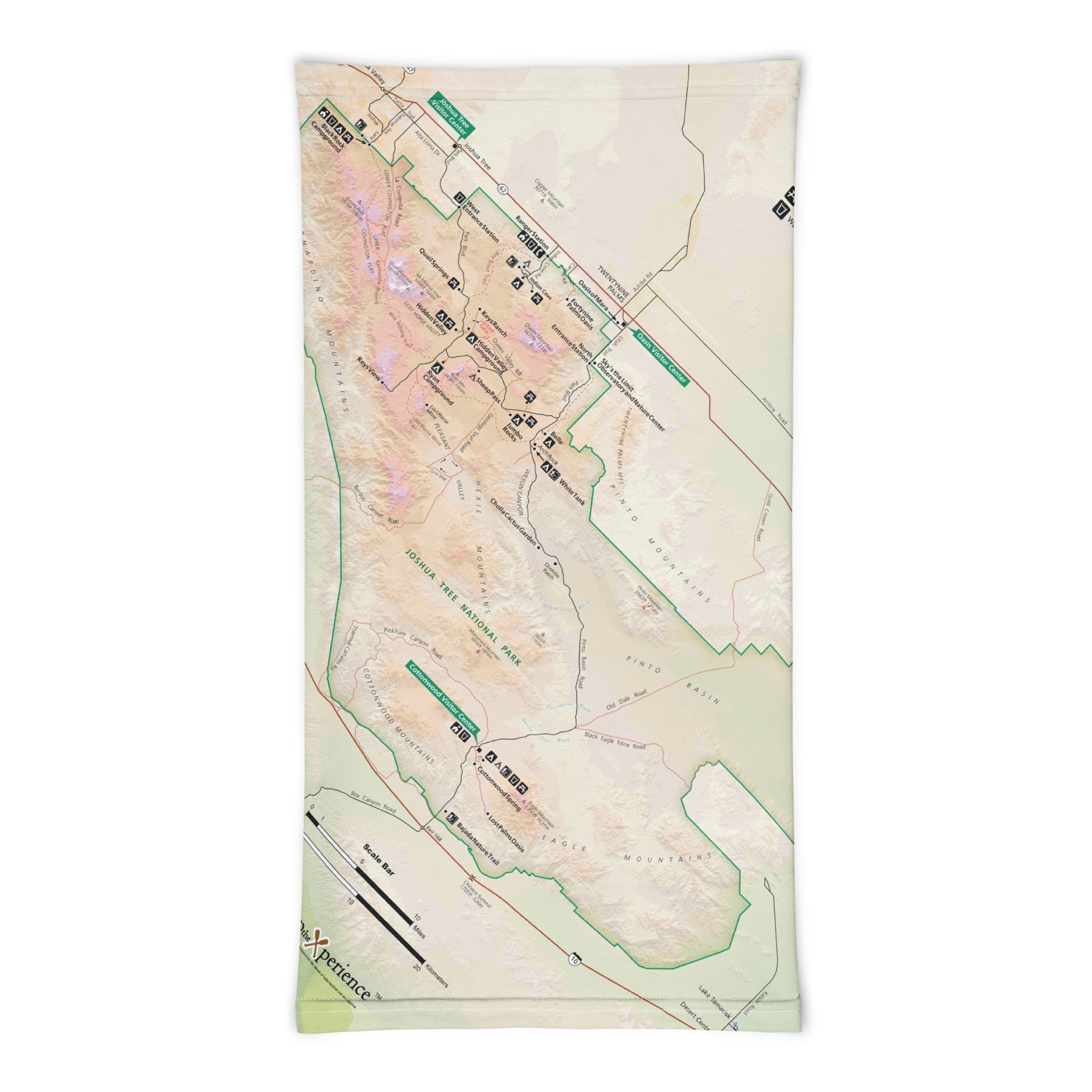
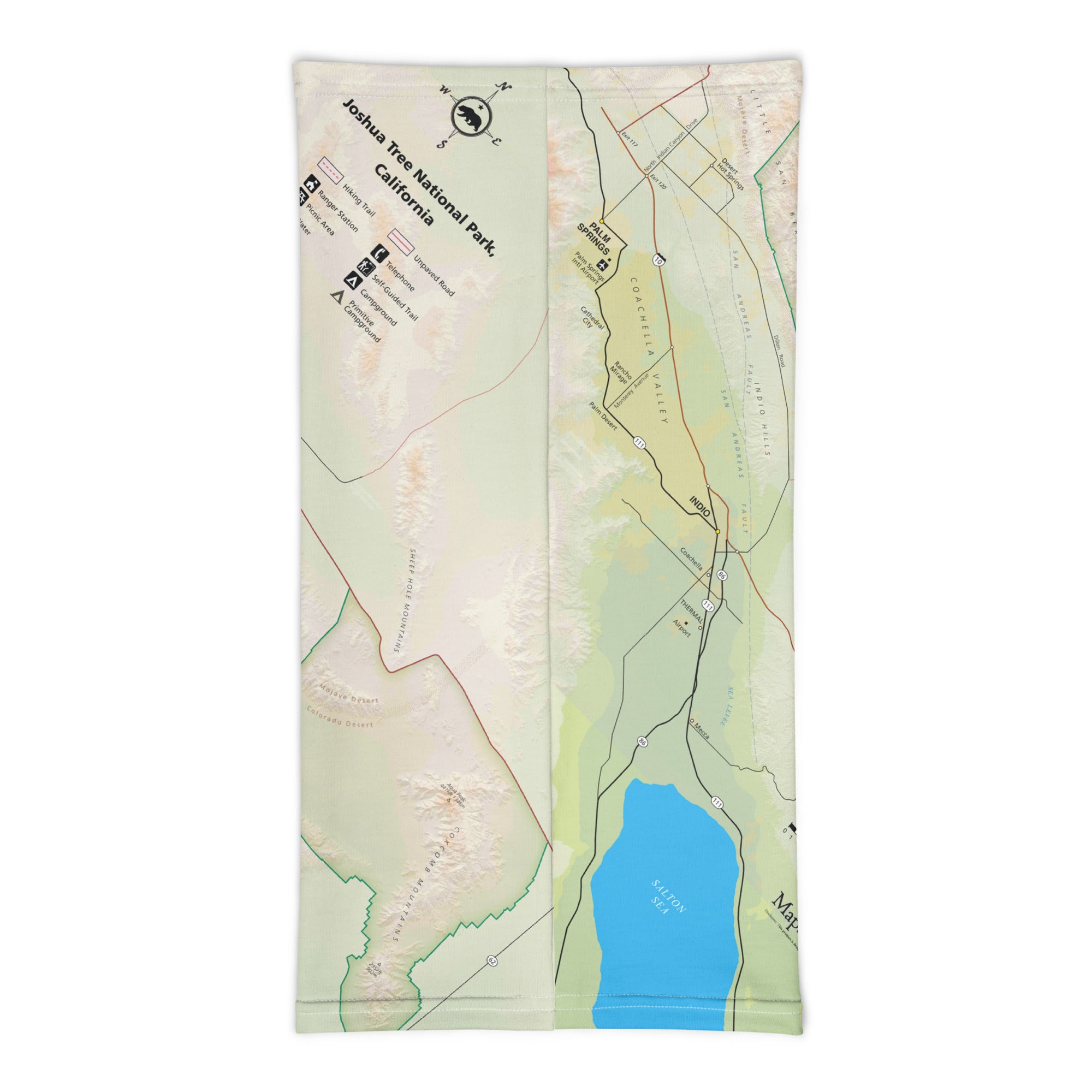
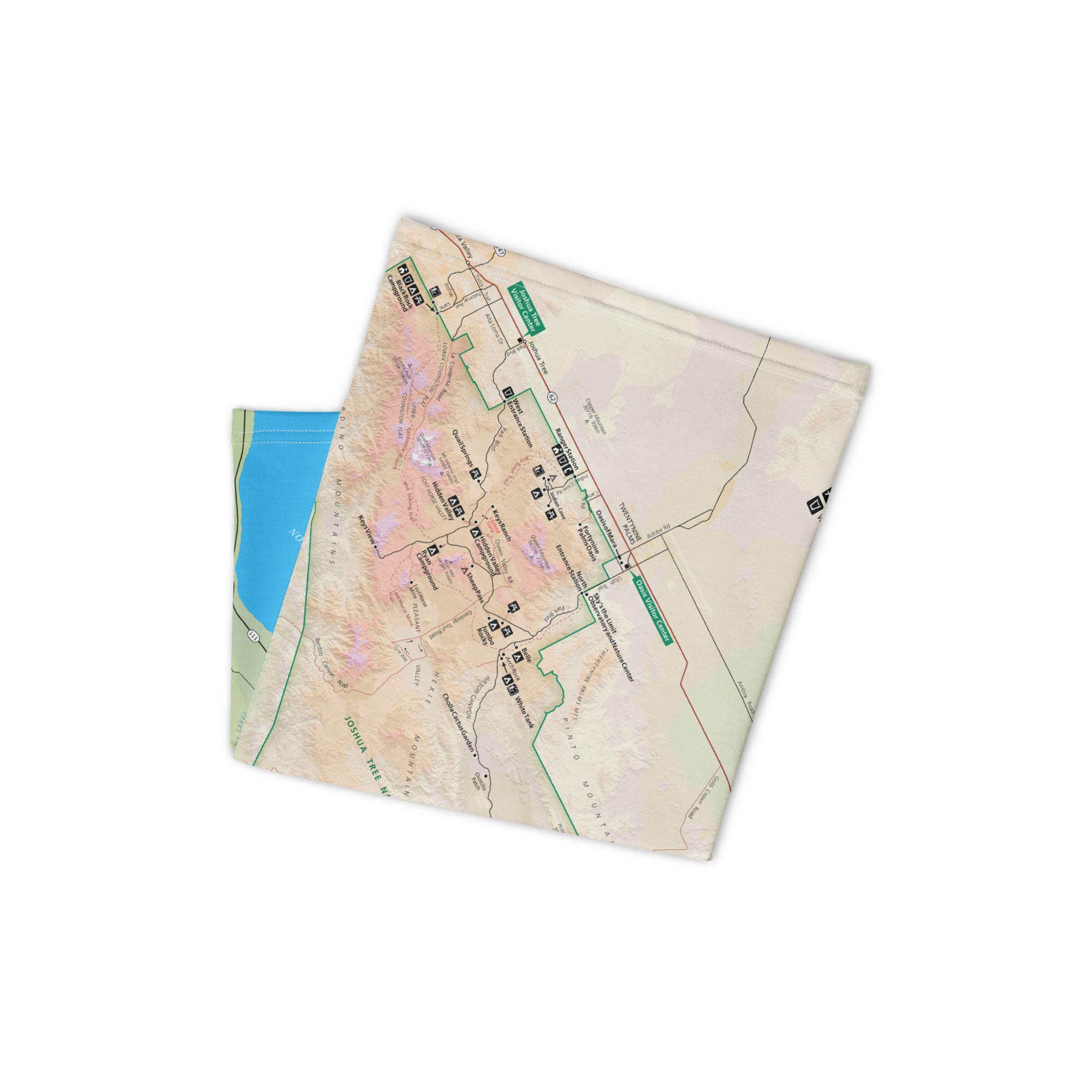
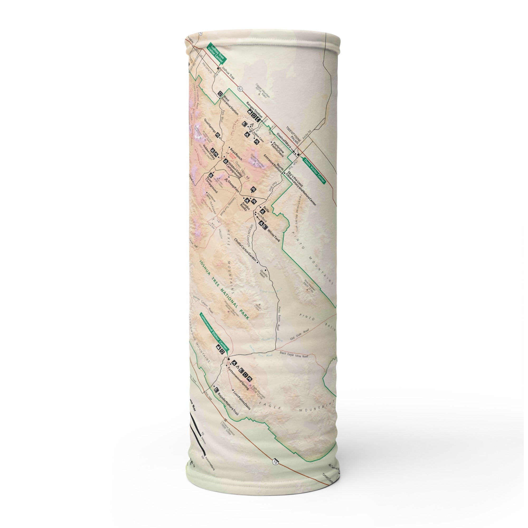
Where the Mojave meets the Colorado Desert, Joshua Tree National Park is a surreal landscape of twisted trees, giant boulders, and endless sky. The Joshua Tree GPS Map Neck Gaiter features a beautifully detailed, GPS-accurate overview of the park—designed for climbers, hikers, campers, and desert dreamers who explore the wild spaces of Southern California.
Desert-Ready Performance:
-
Wear it 12+ ways — neck gaiter, face covering, headband, balaclava, bandana, sun shield, and more
-
One size fits all — soft, stretchy material for a comfortable, all-day fit
-
Made from a breathable polyester-spandex blend that’s moisture-wicking, lightweight, and quick-drying
-
2-way stretch, machine washable, and built to handle heat and dust
-
UPF 50+ sun protection — essential for exposed hikes and high desert climbs
Includes Free Mobile Map
Each gaiter includes a free downloadable GPS-enabled map of Joshua Tree National Park
-
Works offline in the Avenza Maps App — no signal or Wi-Fi needed
-
Track your real-time location on trails, climbing routes, boulder fields, and desert roads
From Keys View to Hidden Valley, and Skull Rock to Lost Horse Mine, this gaiter keeps you cool, covered, and confidently navigating one of the most iconic desert parks in America.
Details
This product is crafted with quality materials to ensure durability and performance. Designed with your convenience in mind, it seamlessly fits into your everyday life.
Shipping & Returns
We strive to process and ship all orders in a timely manner, working diligently to ensure that your items are on their way to you as soon as possible.
We are committed to ensuring a positive shopping experience for all our customers. If for any reason you wish to return an item, we invite you to reach out to our team for assistance, and we will evaluate every return request with care and consideration.