

Lake Powell GPS Map Neck Gaiter
Carved by the Colorado River and framed by towering sandstone cliffs, Lake Powell is a playground for boaters, paddlers, anglers, and explorers. The Lake Powell GPS Map Neck Gaiter features a detailed, GPS-accurate overview of the lake’s vast network of canyons, coves, and recreation areas—blending sun protection, style, and real-time navigation in one essential piece of gear.
Water-Ready Performance:
-
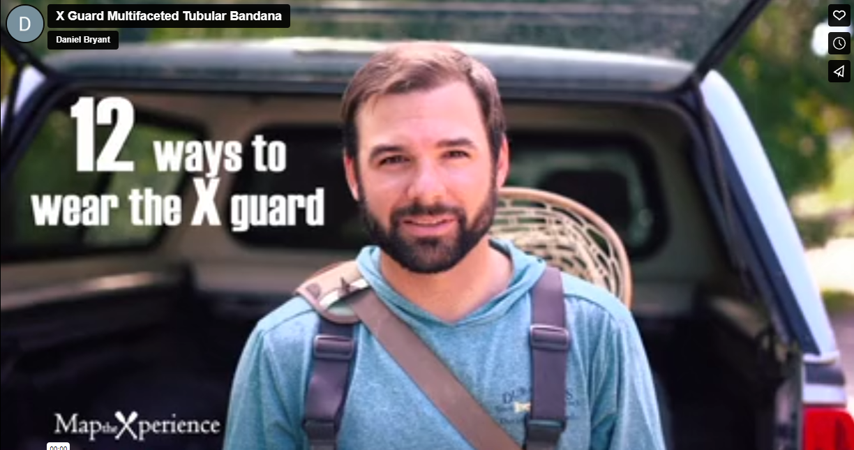
Wear it 12+ ways — neck gaiter, face covering, headband, balaclava, bandana, sun guard, and more
-
One size fits all — with soft, stretchable fabric for a secure and comfortable fit
-
Made from a breathable polyester-spandex blend that’s moisture-wicking, lightweight, and quick-drying
-
Machine washable, 2-way stretch, ideal for on-the-water adventures
-
UPF 50+ sun protection — critical for long days on sun-drenched water and slickrock shores
Includes Free Mobile Map
Each gaiter includes a free downloadable GPS-enabled map of Lake Powell
-
Works offline in the Avenza Maps App — no signal or Wi-Fi needed
-
Track your real-time location through Glen Canyon, Wahweap Bay, Padre Bay, Antelope Canyon, and more
Whether you’re houseboating with family, paddling through narrow slots, fishing hidden coves, or exploring Glen Canyon’s backcountry, this gaiter keeps you cool, protected, and perfectly on course in one of the Southwest’s most spectacular destinations.
X FIBER - A BREATHABLE FABRIC UNLIKE ANY OTHER
X GUARD MULTIFACETED FACE WEAR

