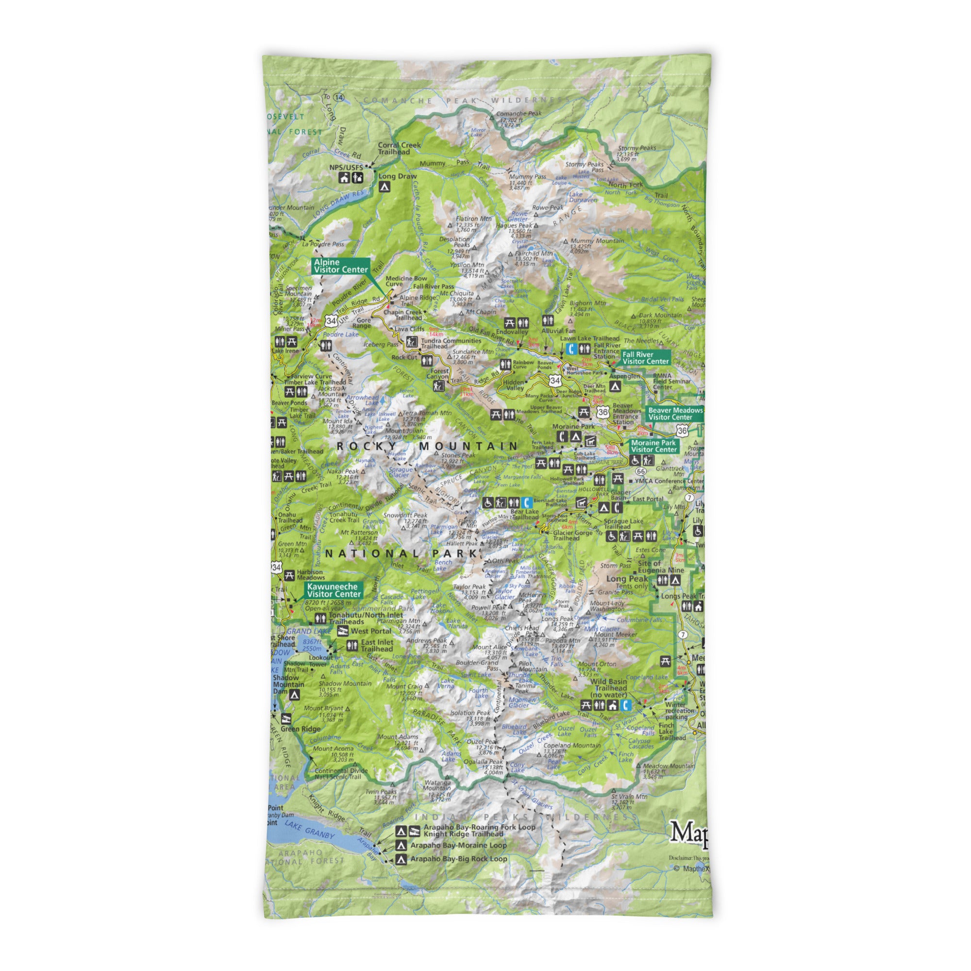
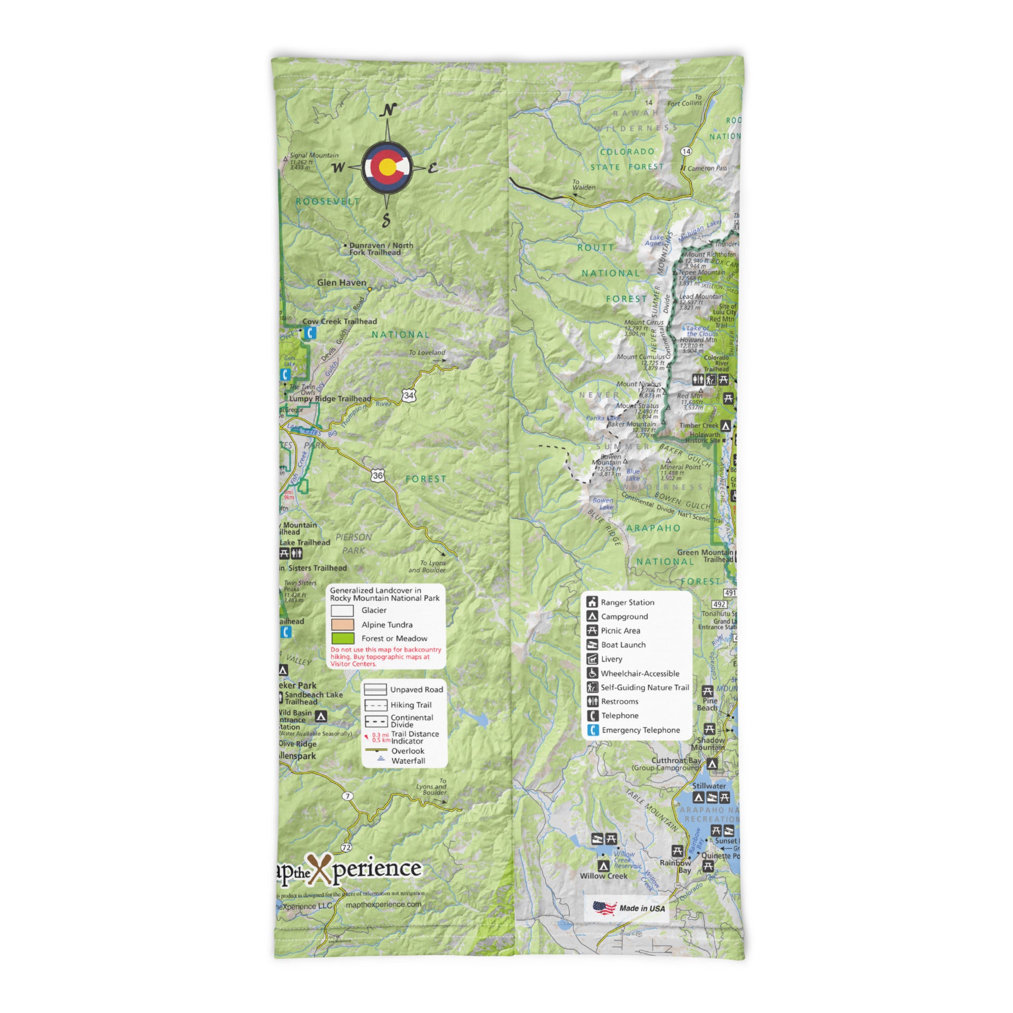
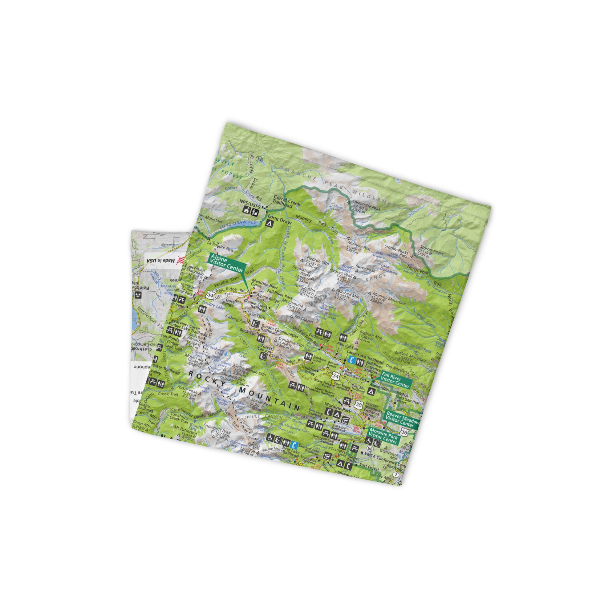
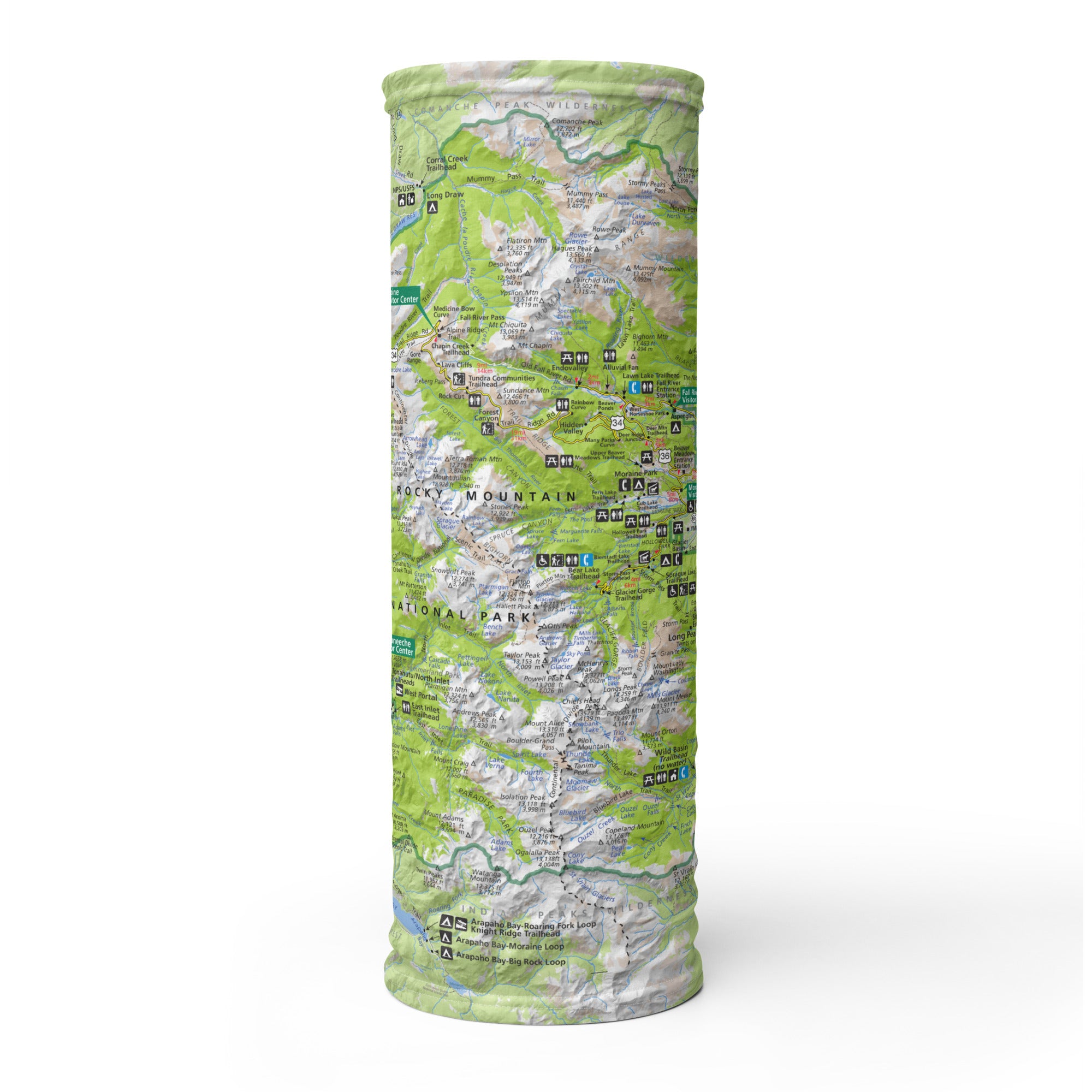
Rocky Mountain National Park GPs Map Neck Gaiter
Alpine lakes, towering peaks, and endless trails—Rocky Mountain National Park is Colorado’s crown jewel and a must-visit for hikers, climbers, and nature lovers. The Rocky Mountain GPS Map Neck Gaiter features a detailed, GPS-accurate overview of the park, including major trails, peaks, lakes, and scenic drives. Whether you're above treeline or deep in a pine forest, this gaiter keeps you protected and on course.
High-Elevation Performance:
-
Wear it 12+ ways — as a neck gaiter, face covering, headband, balaclava, sun shield, and more
-
One size fits all — ultra-soft, stretchy fabric for a comfortable, secure fit
-
Made from a breathable polyester-spandex blend that’s moisture-wicking, quick-drying, and lightweight
-
Machine washable, 2-way stretch, perfect for changing mountain conditions
-
UPF 50+ sun protection — essential for high-altitude hikes and exposed ridgelines
Includes Free Mobile Map
Each gaiter includes a free downloadable GPS-enabled map of Rocky Mountain National Park
-
Works offline in the Avenza Maps App — no signal or Wi-Fi required
-
Track your real-time location on iconic trails like Emerald Lake, Sky Pond, Bear Lake Loop, Longs Peak, and Trail Ridge Road
Whether you’re hiking to alpine summits, spotting elk in Moraine Park, or photographing wildflowers in Hidden Valley, this gaiter keeps you cool, protected, and confidently navigating one of America’s most breathtaking national parks.
X FIBER - A BREATHABLE FABRIC UNLIKE ANY OTHER
X GUARD MULTIFACETED FACE WEAR
