Skip to product information


Snake River Wyoming Fly Fishing Map | Public Access Guide
$9.95
Shipping calculated at checkout.
36" x 24" Double-Sided, GPS Accurate
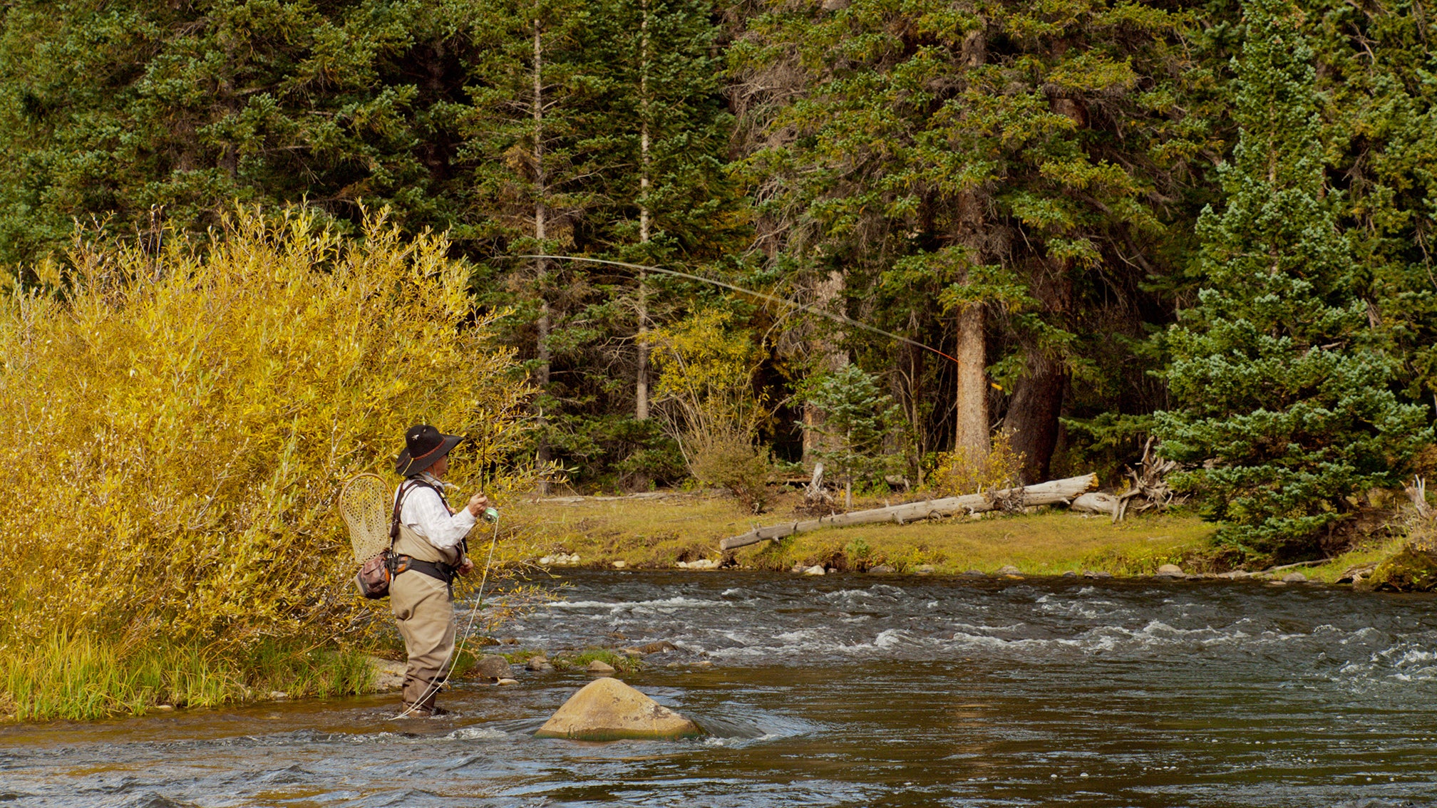
The ultimate resource for anglers and floaters, this all-new, highly detailed map covers both the Snake River and the South Fork of the Snake River. Designed specifically for fly fishing and river travel, it’s GPS-accurate and packed with critical information you won’t find anywhere else.
Features include:
-
All federal, state, county, and city public lands
-
Every fishing access point and area
-
All boat ramps, take-outs, and parking locations
-
Campsites, including primitive sites on the South Fork
-
Bald Eagle Closure Areas
-
Floaters chart with river mileages
-
Picnic areas and public restrooms
-
Insect hatch charts and fishing regulations
Whether you're chasing trout or planning a float, this map is a must-have tool to navigate and explore two of the West's most iconic rivers.
Details
This product is crafted with quality materials to ensure durability and performance. Designed with your convenience in mind, it seamlessly fits into your everyday life.
Shipping & Returns
We strive to process and ship all orders in a timely manner, working diligently to ensure that your items are on their way to you as soon as possible.
We are committed to ensuring a positive shopping experience for all our customers. If for any reason you wish to return an item, we invite you to reach out to our team for assistance, and we will evaluate every return request with care and consideration.