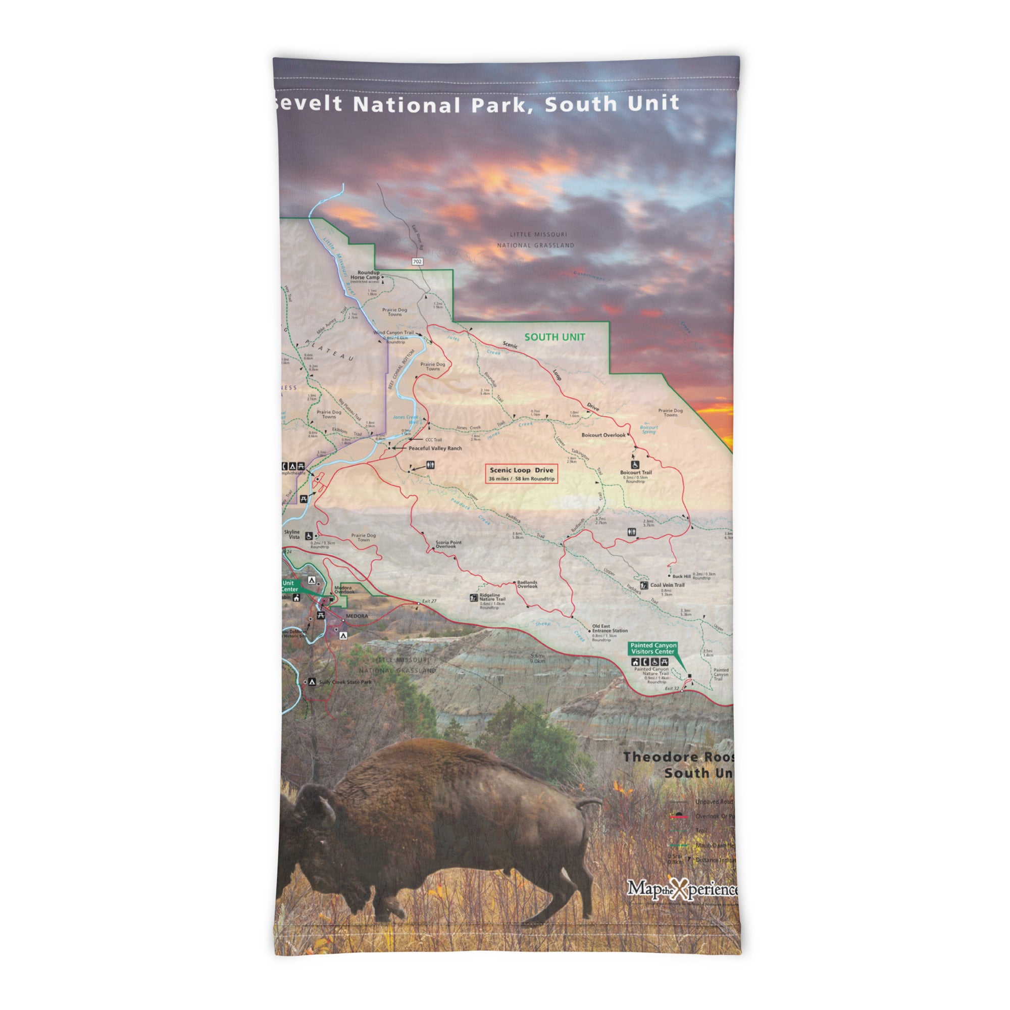
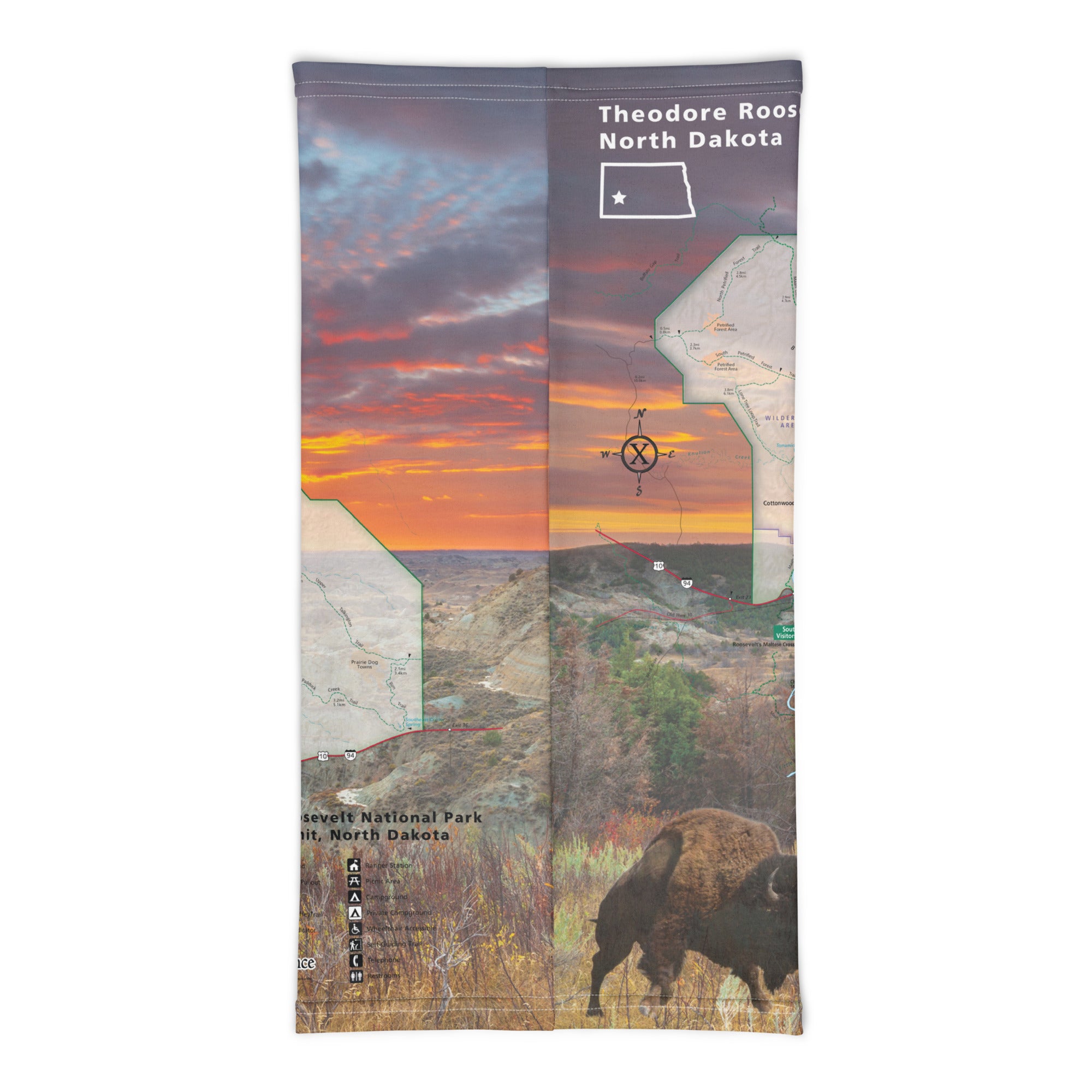
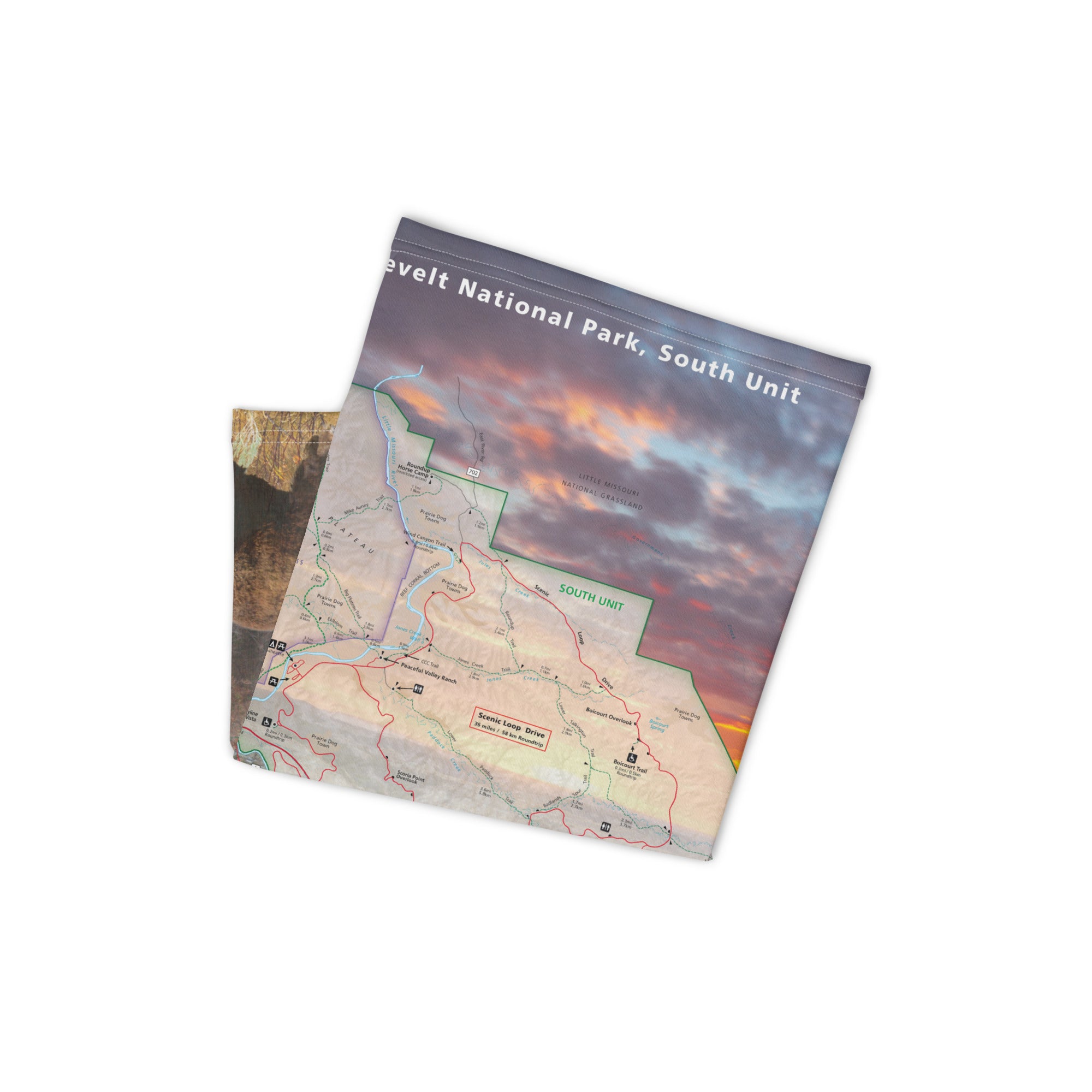
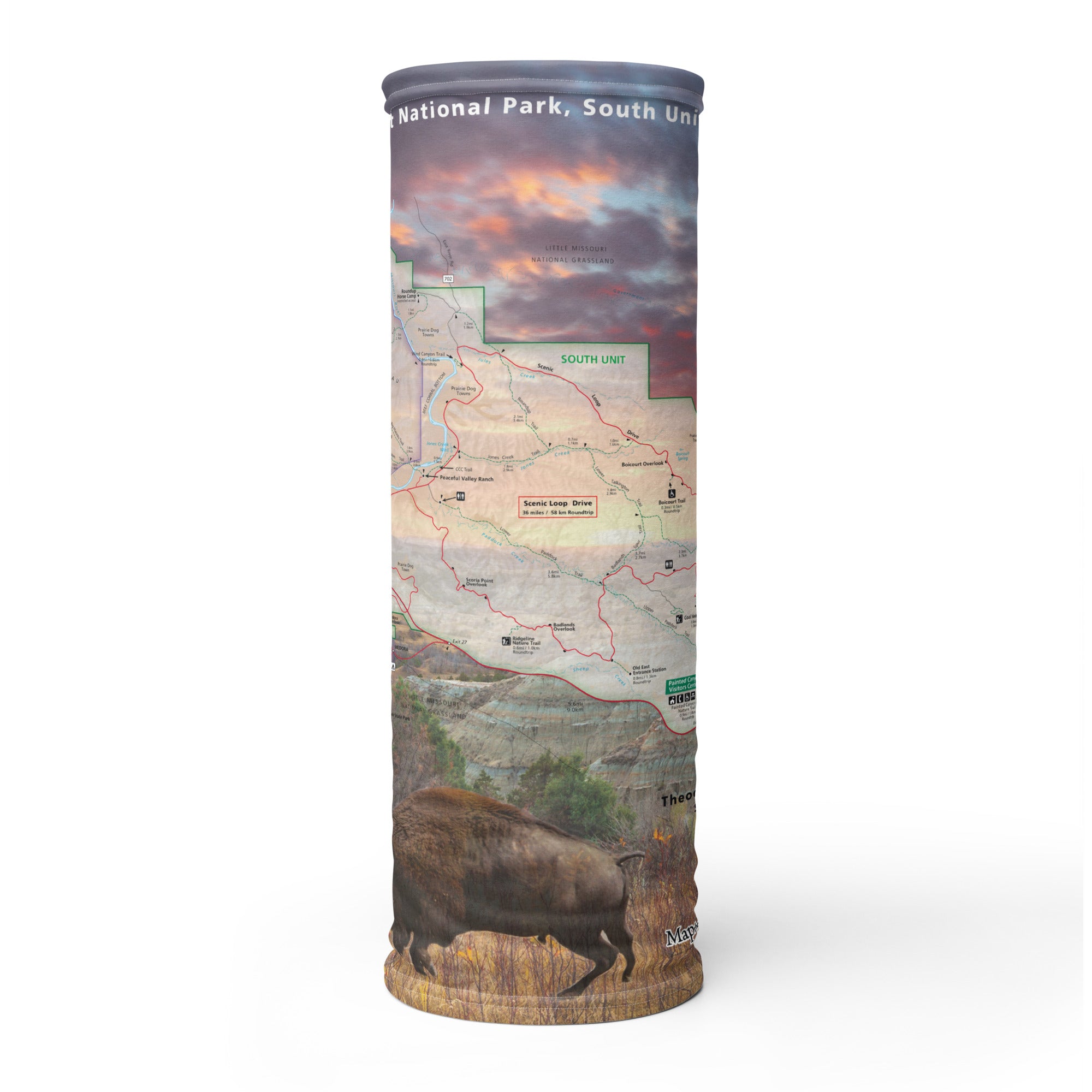
Theodore Roosevelt National Park South GPS Map Neck Gaiter
Where rugged badlands meet wide open skies, the South Unit of Theodore Roosevelt National Park offers a stunning mix of history, wildlife, and wilderness. From scenic drives and dramatic overlooks to winding trails through painted canyons, this is where the 26th President found solitude and strength. The South Unit GPS Map Neck Gaiter features a detailed, GPS-accurate overview of the park’s trails, drives, and historic landmarks—perfect for hikers, road trippers, and wildlife lovers alike.
Built for Badlands Adventure:
-
Wear it 12+ ways — as a neck gaiter, face covering, headband, balaclava, sun shield, and more
-
One size fits all — soft, stretchy fabric ensures a comfortable, secure fit
-
Made from a breathable polyester-spandex blend that’s moisture-wicking, quick-drying, and lightweight
-
Machine washable, 2-way stretch, designed to handle heat, dust, and long days on the trail
-
UPF 50+ sun protection — essential for exposed hikes and prairie sun
Includes Free Mobile Map
Each gaiter includes a free downloadable GPS-enabled map of Theodore Roosevelt National Park – South Unit
-
Works offline with the Avenza Maps App — no signal or Wi-Fi needed
-
Track your real-time location on popular routes like the Scenic Loop Drive, Petrified Forest Trail, Wind Canyon Trail, and Ridgeline Trail
Whether you're watching wild horses on the plains, hiking into colorful canyons, or exploring Roosevelt’s historic Elkhorn Ranch area, this gaiter keeps you cool, protected, and perfectly on track in one of America’s most quietly spectacular parks.
X FIBER - A BREATHABLE FABRIC UNLIKE ANY OTHER
X GUARD MULTIFACETED FACE WEAR
