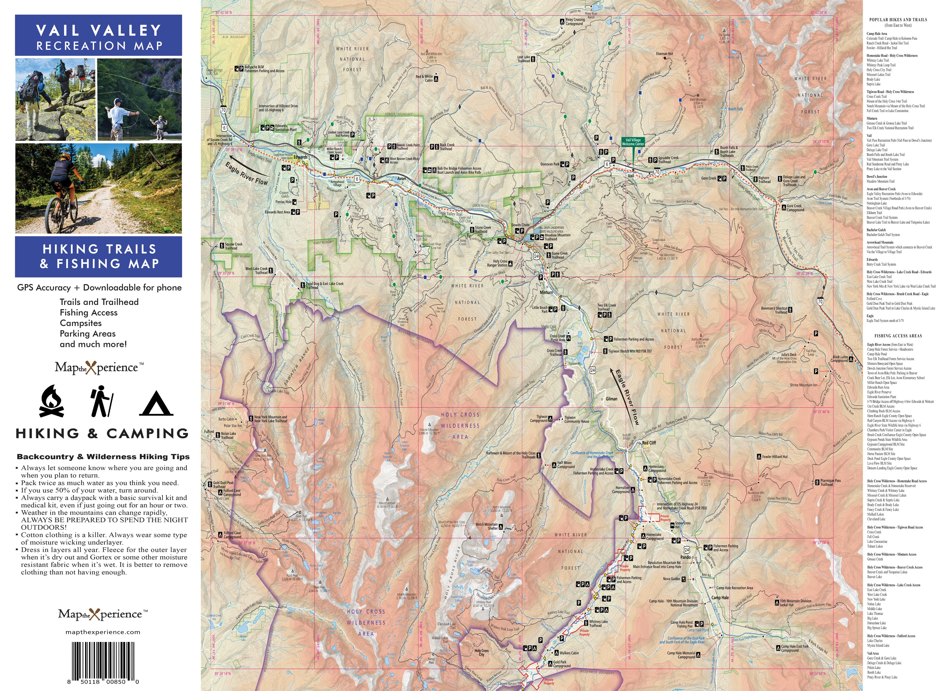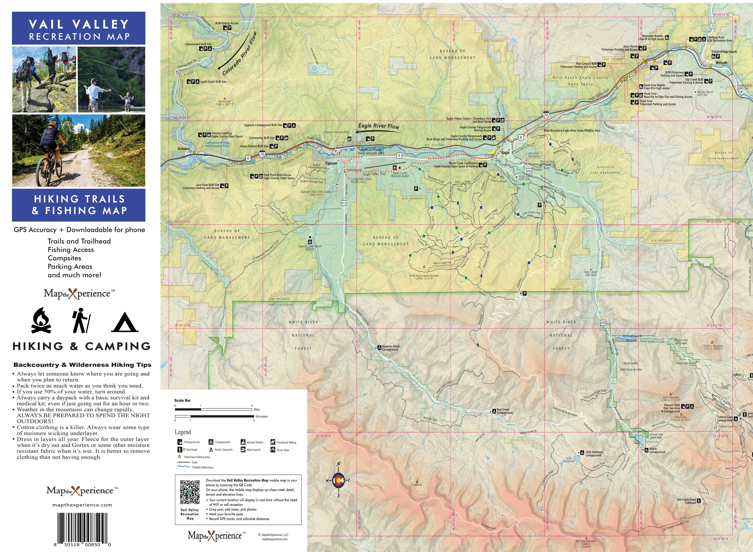


Vail Valley Colorado Hiking, Biking, and Fishing Map
Vail Valley Recreation Map – The Ultimate Outdoor Adventure & Fishing Guide
Hike. Bike. Fish. Explore.
Discover the best trails, scenic rides, and world-class fishing spots with the Vail Valley Recreation Map—your all-in-one guide to Vail’s outdoor playground. Whether you're a hiker, mountain biker, or passionate fly fisherman, this map is designed to help you navigate Vail Valley’s stunning landscapes, legendary waters, and hidden gems.
🌲 Why You Need This Map:
✅ Hiking & Biking Trails – Covers everything from scenic nature walks to adrenaline-pumping backcountry rides.
✅ Fishing Hotspots – Get insider info on the best fly fishing locations along the Eagle River, Gore Creek, and pristine alpine lakes & streams in the Holy Cross Wilderness.
✅ GPS-Enabled Navigation – Works with the Avenza Maps app so you can explore with confidence.
✅ Trail & River Insights – Includes elevation profiles, difficulty ratings, and access points to help you plan the perfect adventure.
✅ Expertly Designed – Created by local outdoor & fly fishing experts, ensuring accurate and up-to-date details.
✅ 4x8" Folded, 36x24" unfolded
✅ Mobile Smartphone Map included - Mobile map works in the free Avenza Map App without cell service or internet.
🏔️ Perfect for Every Explorer
Whether you want to summit a peak, cruise a singletrack, or cast a line into pristine mountain waters, this map is your key to an unforgettable Vail Valley adventure.
🎣 For Anglers & Fly Fishermen
This isn’t just a hiking map—it’s an essential tool for fly fishing enthusiasts! With detailed access points, river conditions, and hidden alpine lakes, you’ll know exactly where to find trout-rich waters in Colorado’s backcountry.
🔥 Your Adventure Starts Here!
👉 Get Yours Now
