

Vail Valley, Colorado Outdoor Recreation Map
Quantity:
Vail Valley, Colorado Outdoor Recreation Map - Hiking - Biking and Fishing Map
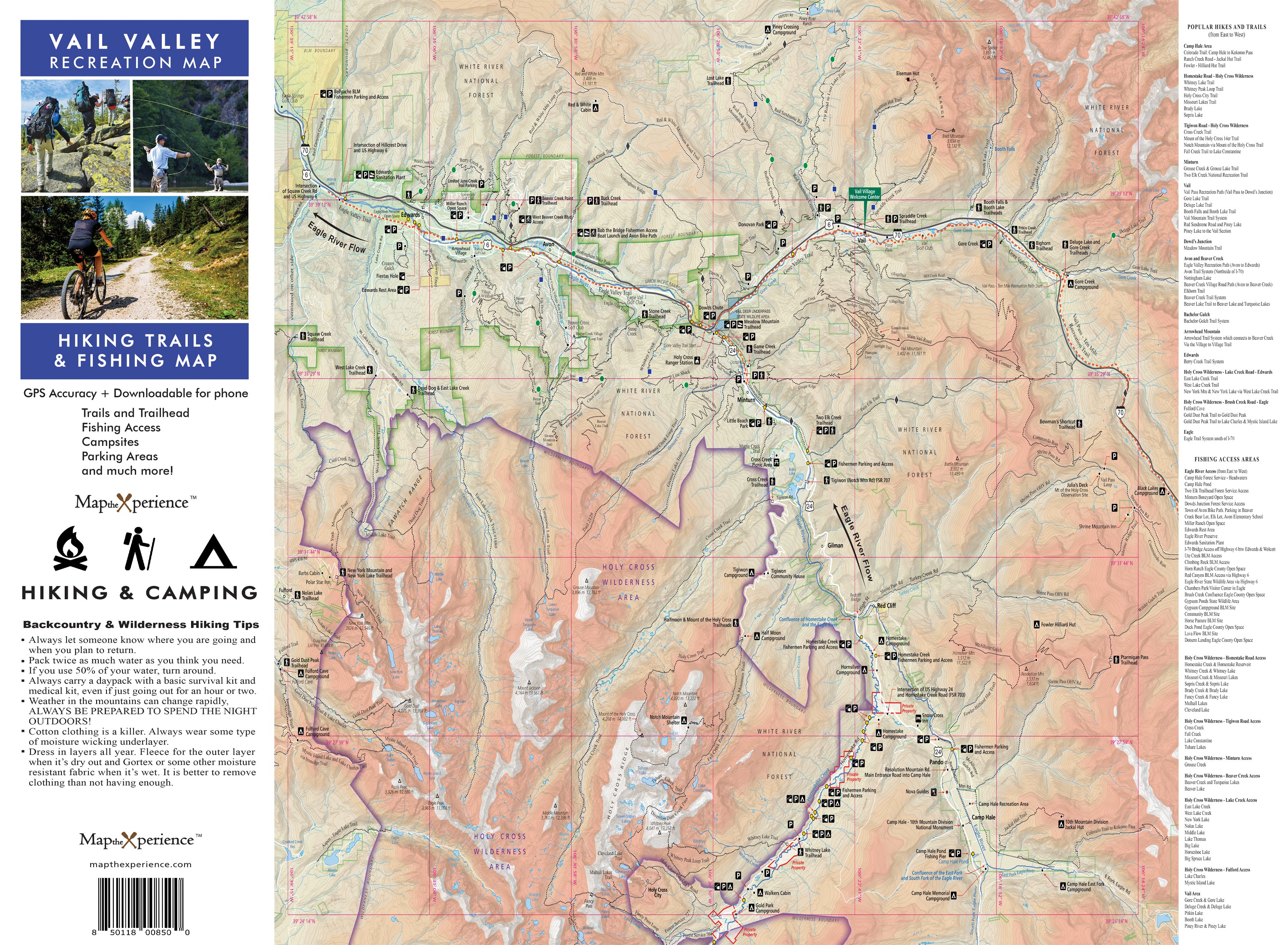
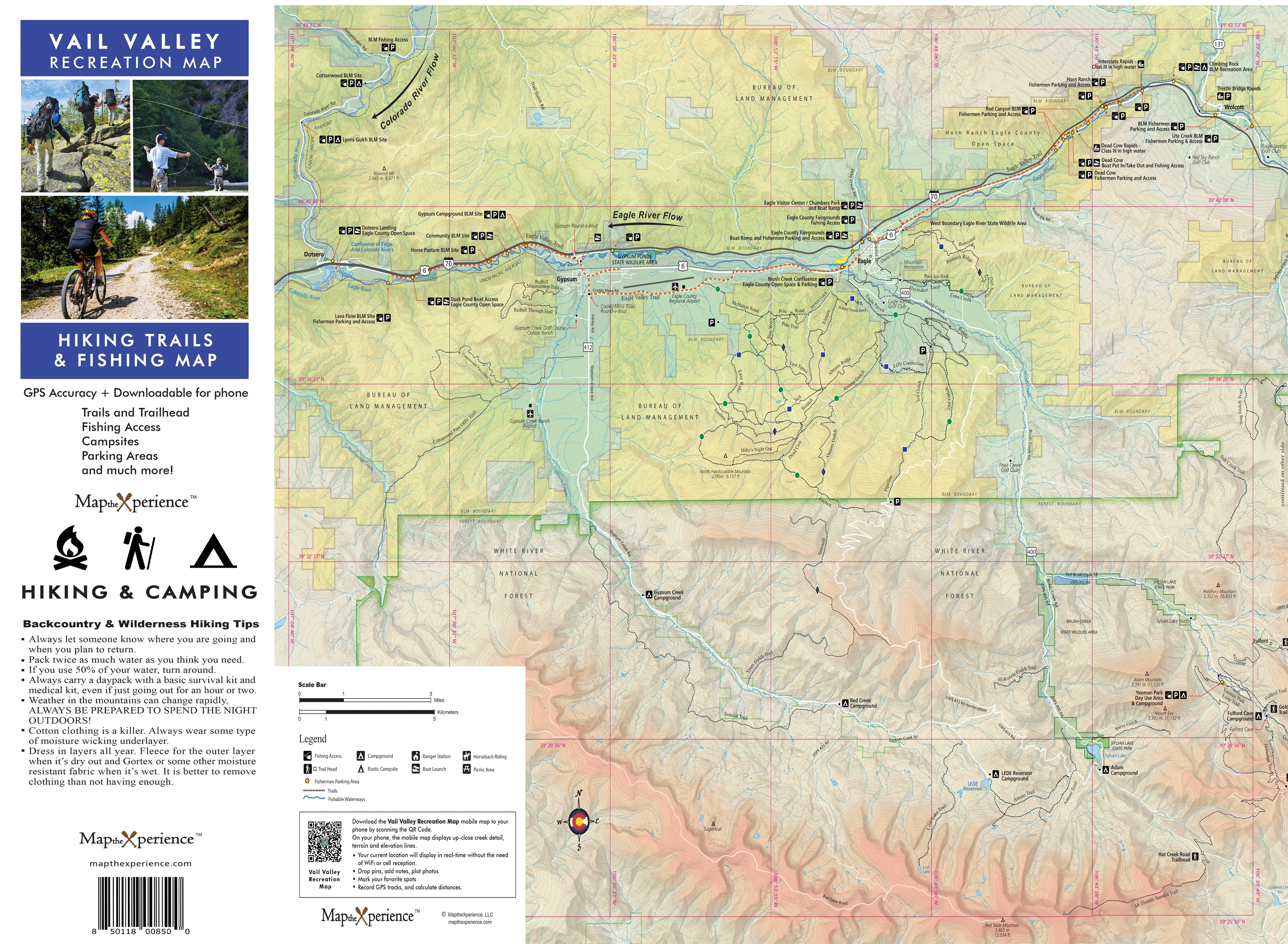
This essential guide is your key to unlocking the full potential of Vail Valley’s outdoor experiences. Designed for adventurers, explorers, and nature lovers, this map covers everything from Vail Pass to the Holy Cross Wilderness, Piney Lake, and Dotsero.
With a dual-format design, it includes a large 36x24" paper map that folds to 4x8" and a free GPS-accurate mobile map, ensuring you have all the information you need at your fingertips.
Features:
- Dual-Format Design: A detailed 36x24" paper map and a free GPS-accurate mobile map ($4.99 value).
- Extensive Trail Coverage: Comprehensive details on every hiking and biking trail in Vail Valley.
- Points of Interest: Highlights must-see landmarks and hidden gems.
- Safety Tips: Essential advice for safe navigation in the backcountry.
- Outdoor Amenities: Locations of campgrounds, picnic areas, and roadside pullouts.
- Fishing Paradise: Information on all fishable waters, including public access points on the Eagle River, Gore Creek, and Homestake Creek.
Avenza Map App Features:
- Offline Access: Use your map without cell service or internet.
- Real-Time GPS Guidance: Navigate effortlessly with real-time location tracking.
- Interactive Exploration: Drop pins, add descriptions, and take geo-tagged photos.
- Pro Navigation Tips: Maximize your adventure by conserving power and carrying a portable charger.
