

Voyageurs National Park GPS Map Neck Gaiter
Defined by water, wilderness, and rich history, Voyageurs National Park is a one-of-a-kind destination where lakes and forests stretch across the northern Minnesota borderland. Ideal for paddlers, boaters, anglers, and backcountry campers, the Voyageurs GPS Map Neck Gaiter features a detailed, GPS-accurate overview of the park’s interconnected waterways, campsites, hiking trails, and portages—blending functionality, comfort, and navigation in one adventure-ready accessory.
Crafted for the Northwoods:
-
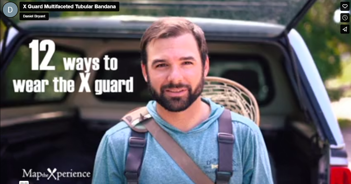
Wear it 12+ ways — as a neck gaiter, face covering, headband, balaclava, sun shield, and more
-
One size fits all — soft, stretchable fabric offers a secure and comfortable fit for long days outdoors
-
Made from a durable polyester-spandex blend that’s breathable, moisture-wicking, and quick-drying
-
Machine washable, 2-way stretch, perfect for paddling, portaging, or relaxing by camp
-
UPF 50+ sun protection — essential for open water and exposed shoreline travel
Includes Free Mobile Map
Each gaiter includes a free downloadable GPS-enabled map of Voyageurs National Park
-
Works offline in the Avenza Maps App — no signal or Wi-Fi required
-
Track your real-time location on Rainy, Kabetogama, Namakan, and Sand Point Lakes; along campsites, day-use areas, and portage trails
Whether you're exploring hidden coves by canoe, fishing under big skies, or stargazing from a lakeside campsite, this gaiter keeps you cool, protected, and on course in one of America’s most water-driven and scenic national parks.
X FIBER - A BREATHABLE FABRIC UNLIKE ANY OTHER
X GUARD MULTIFACETED FACE WEAR

