Wind Cave National Park GPS Map Neck Gaiter
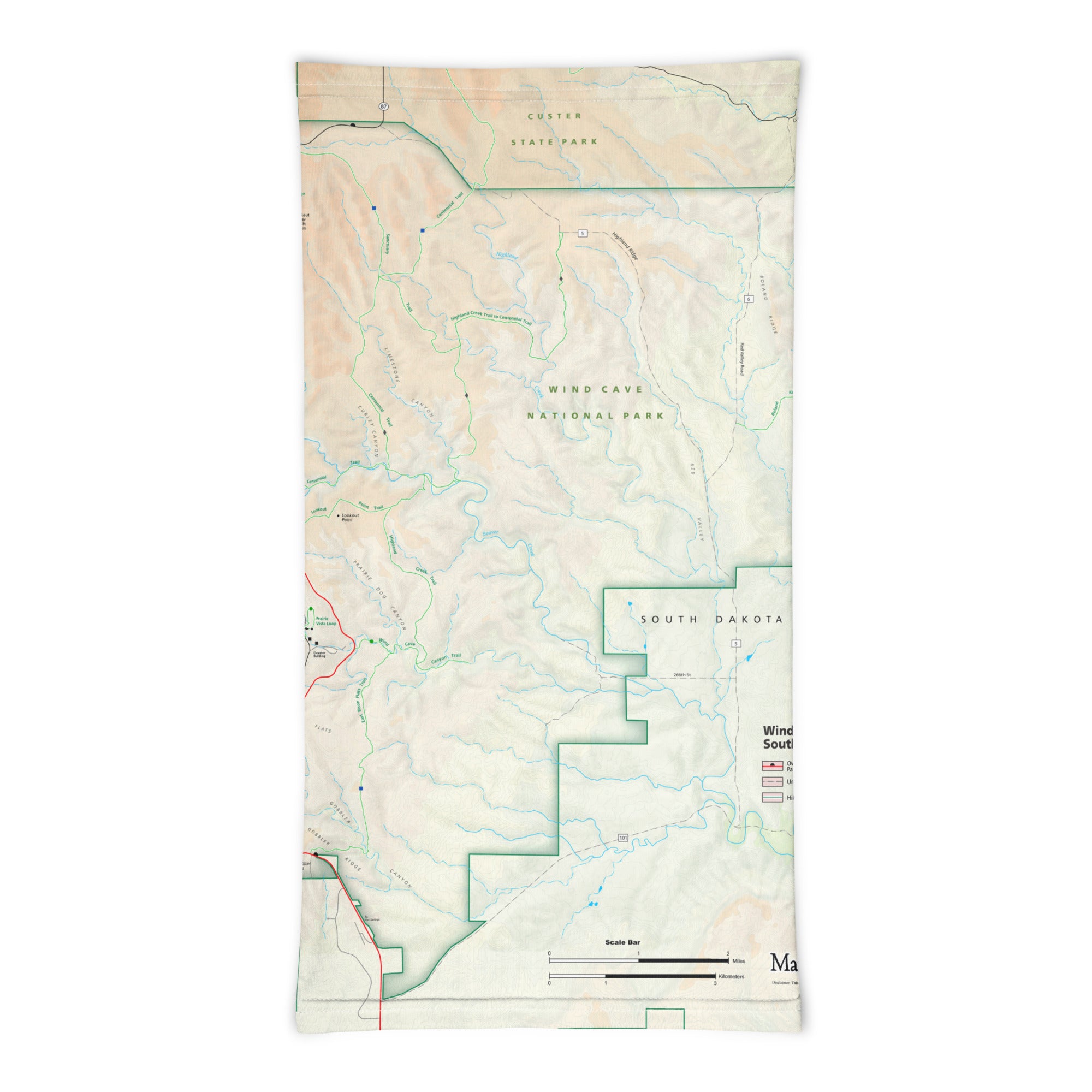
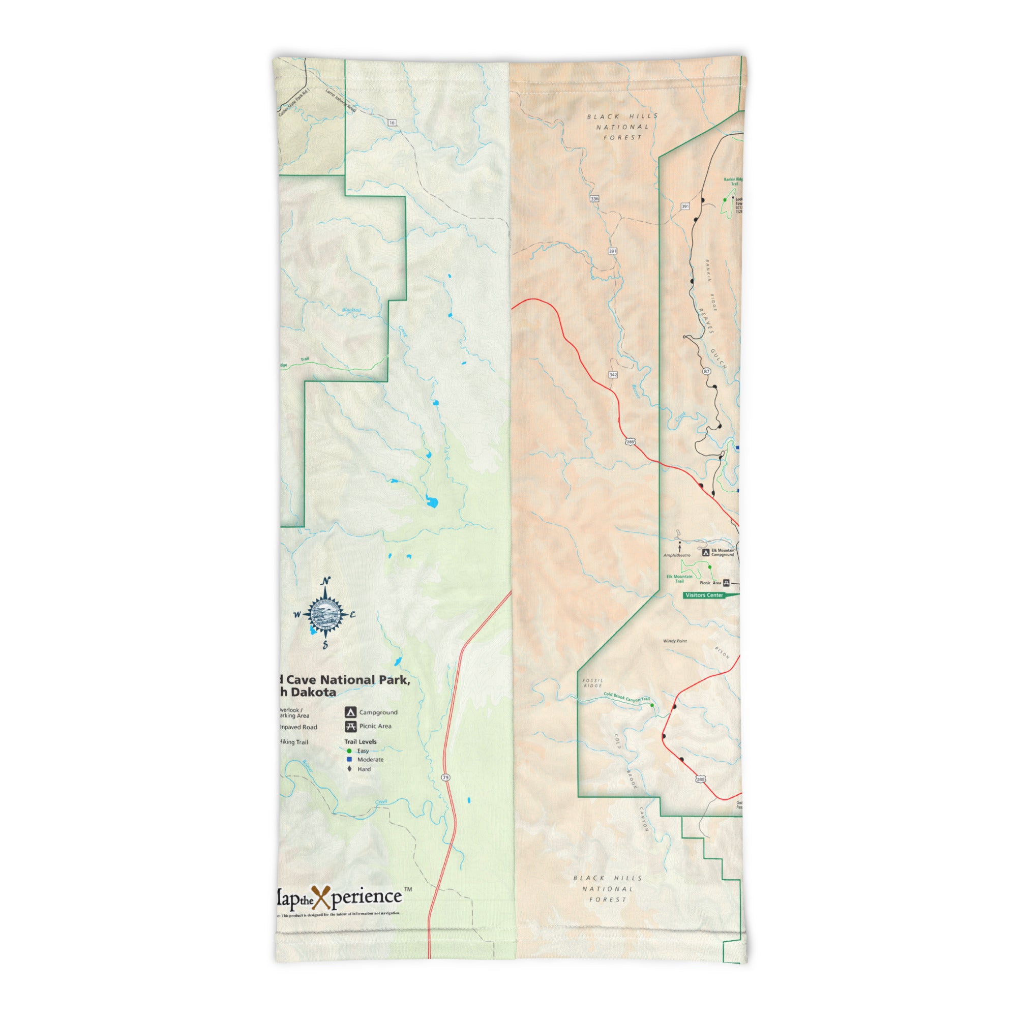
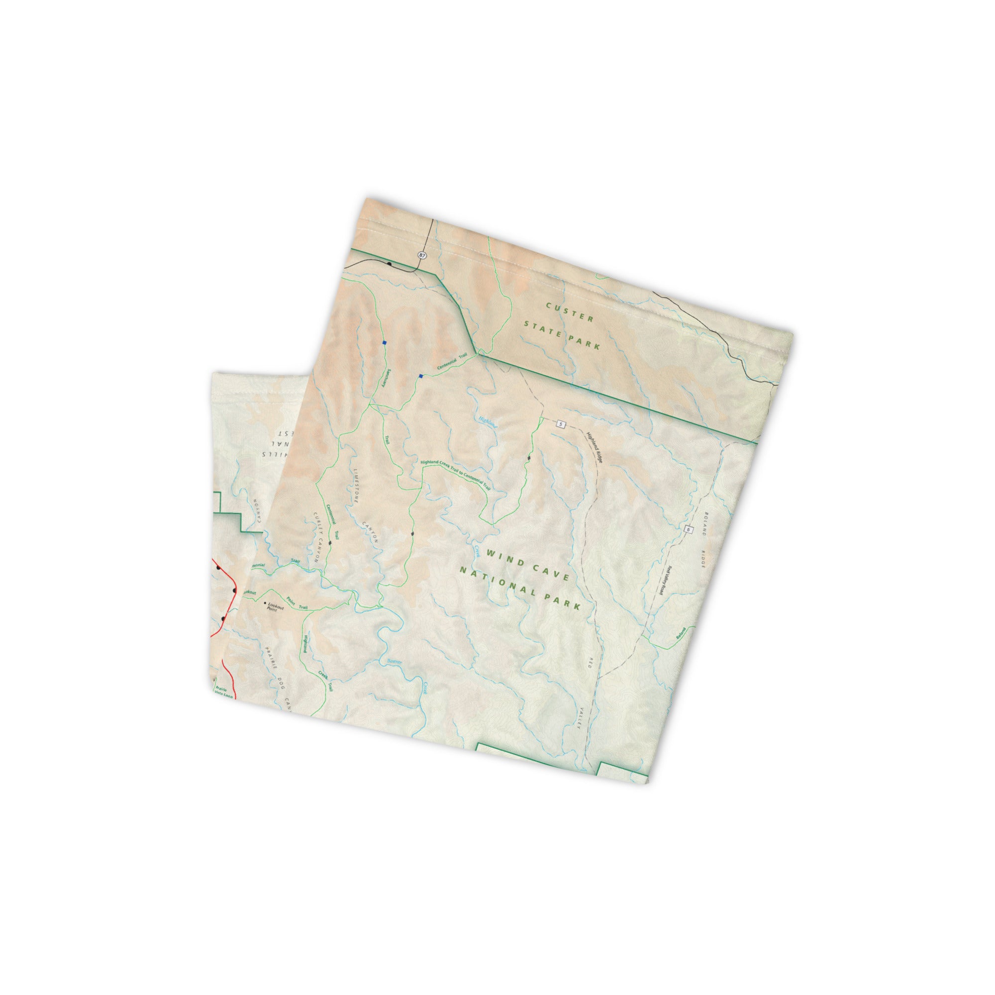
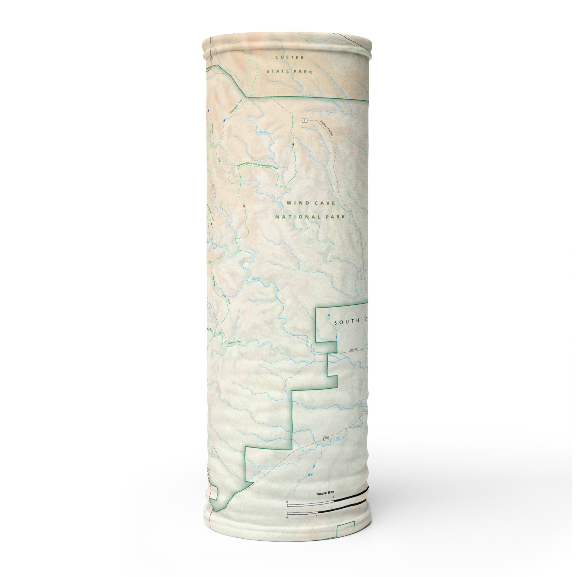
Beneath rolling prairie hills lies one of the world’s oldest and most complex cave systems—Wind Cave National Park. Above ground, bison roam the grasslands and hikers explore peaceful trails; below, a labyrinth of underground passages and rare boxwork formations await. The Wind Cave GPS Map Neck Gaiter features a detailed, GPS-accurate overview of both surface trails and the park's key features, offering comfort, sun protection, and real-time navigation for above- and below-ground adventures.
Made for Prairie and Cavern Explorers:
-
Wear it 12+ ways — as a neck gaiter, face covering, headband, balaclava, sun guard, and more
-
One size fits all — soft, stretchy fabric ensures a secure, all-day comfortable fit
-
Made from a lightweight polyester-spandex blend that’s breathable, moisture-wicking, and quick-drying
-
Machine washable, 2-way stretch, designed for everything from trail hikes to cave tours
-
UPF 50+ sun protection — ideal for open prairie hikes and sunny ridge walks
Includes Free Mobile Map
Each gaiter includes a free downloadable GPS-enabled map of Wind Cave National Park
-
Works offline with the Avenza Maps App — no cell signal or Wi-Fi required
-
Track your real-time location on trails like Rankin Ridge, Lookout Point, Centennial Trail, and key visitor access points
Whether you're walking through sunlit grasslands or venturing into the depths of one of America’s first national parks, this gaiter keeps you cool, protected, and confidently exploring a landscape both ancient and wild.
X FIBER - A BREATHABLE FABRIC UNLIKE ANY OTHER
X GUARD MULTIFACETED FACE WEAR
