

Zion National Park GPS Map Neck Gaiter
Towering sandstone cliffs, narrow slot canyons, and emerald rivers make Zion National Park one of the most awe-inspiring landscapes in the American Southwest. Whether you're hiking Angel’s Landing, wading through The Narrows, or exploring backcountry trails, the Zion GPS Map Neck Gaiter offers breathable comfort, sun protection, and a detailed, GPS-accurate overview map of the park—so you can stay protected and confidently on course.
Adventure-Ready for the Desert and Canyons:
-
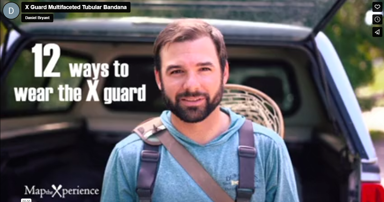
Wear it 12+ ways — as a neck gaiter, face covering, headband, balaclava, sun shield, and more
-
One size fits all — soft, stretchable fabric ensures a comfortable, secure fit for every adventure
-
Made from a high-quality polyester-spandex blend that’s lightweight, breathable, moisture-wicking, and quick-drying
-
Machine washable, 2-way stretch, ideal for desert heat, steep climbs, and canyon exploration
-
UPF 50+ sun protection — essential for exposed trails and sun-baked sandstone
Includes Free Mobile Map
Each gaiter includes a free downloadable GPS-enabled map of Zion National Park
-
Works offline with the Avenza Maps App — no cell signal or Wi-Fi needed
-
Track your real-time location on classic trails like Angel’s Landing, Observation Point, The Narrows, Emerald Pools, and Kolob Canyons
Whether you're standing in the shadow of Zion’s towering cliffs or finding peace along the Virgin River, this gaiter keeps you cool, protected, and perfectly oriented in one of America’s most iconic national parks.
X FIBER - A BREATHABLE FABRIC UNLIKE ANY OTHER
X GUARD MULTIFACETED FACE WEAR

