Animas River Colorado Fishing Map | Public Access Guide
Animas River Colorado Pocket Fishing Guide Map
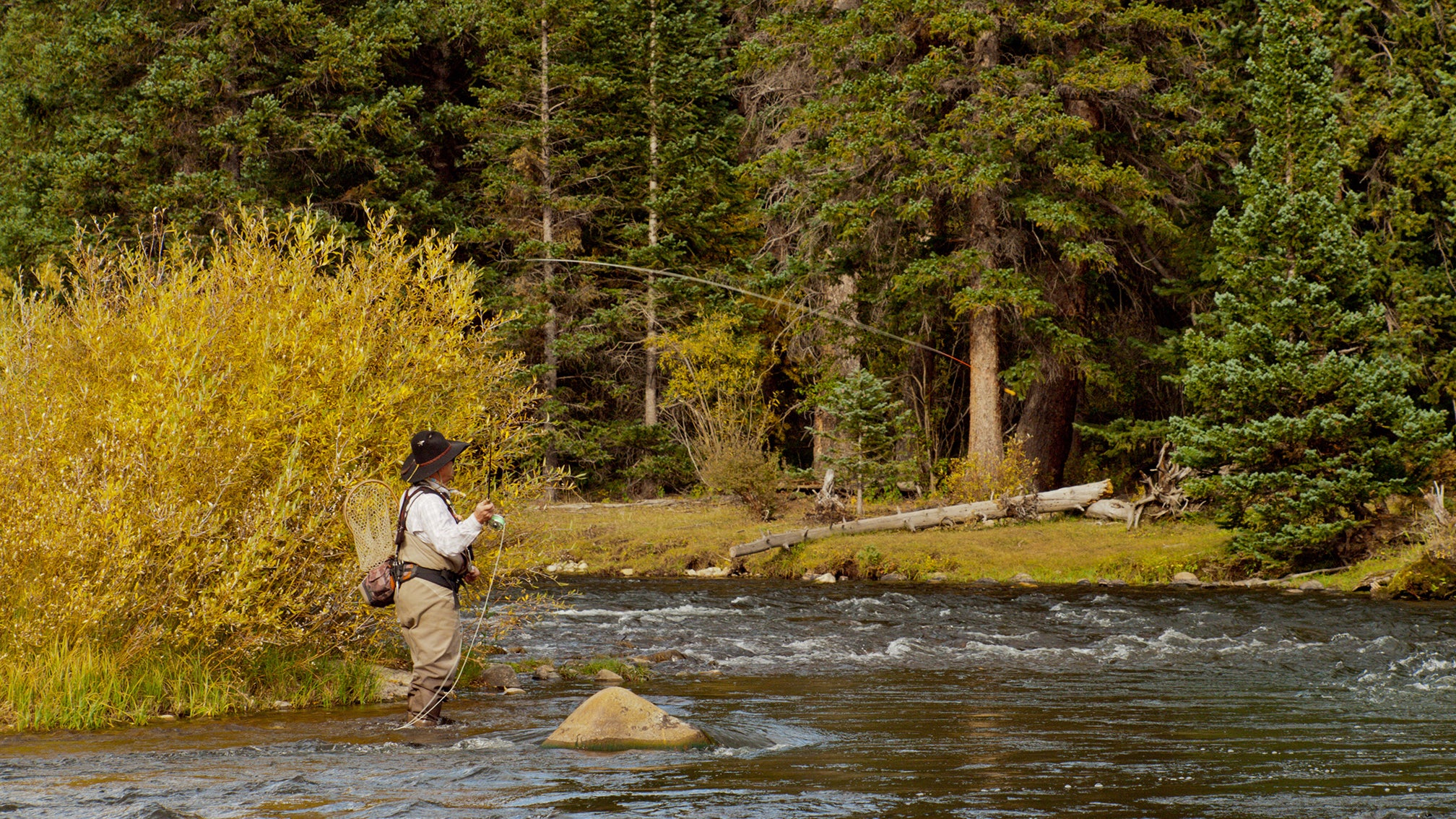
The Animas River in Colorado is a freestone river that supports a healthy and diverse population of wild trout. The predominant fish species you’ll find in the Animas include:
Predominant Fish Species in the Animas River, Colorado
1. Brown Trout (Salmo trutta)
- Most abundant species in the Animas.
- Thrive in the river's lower reaches, especially around Durango.
- Known for growing large, with some trophy-sized fish reported.
2. Rainbow Trout (Oncorhynchus mykiss)
- Common in the upper and middle stretches of the river.
- Populations are wild and self-sustaining in some areas.
- Often targeted during spring and fall when they’re actively feeding.
Other Fish Species You Might Encounter
- Brook Trout – Found in colder headwater tributaries.
- Cutthroat Trout – Primarily Colorado River Cutthroat in some upper reaches and feeder streams.
- Mountain Whitefish – Less common but present, especially in colder stretches.
- Sculpin and other native forage fish – Important prey for the larger trout.
Quick Notes:
- The Animas River is not stocked heavily, so most trout are wild, making it a prized river for more technical, rewarding fly fishing.
- Water temperatures and flows can vary significantly depending on the season and runoff, impacting fish distribution.
Map Features
Pocket-sized on land. Powerfully detailed on water. Built for serious anglers—and smart retailers.
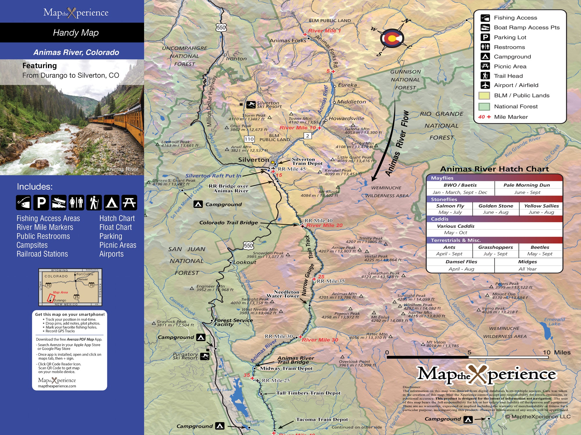
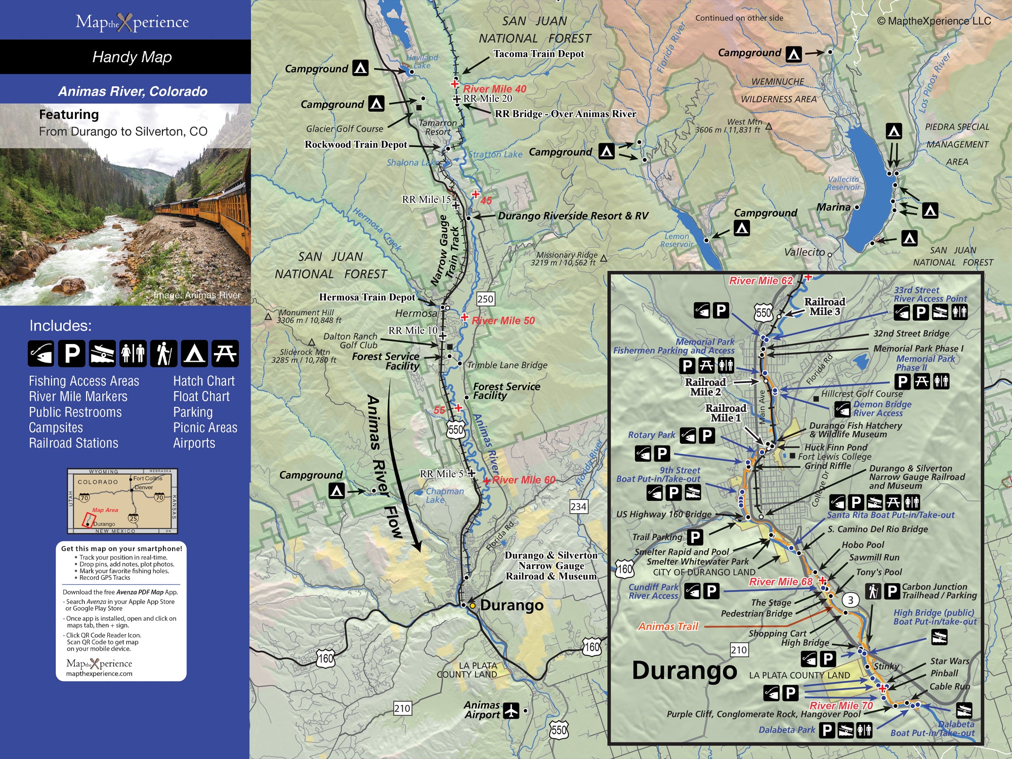
Ready to fish smarter, not harder? Our Animas River Fishing Map is your essential guide from Durango to the river’s upper reaches. Designed by local experts, this map highlights public access points, boat launches, river miles, and prime trout waters—so you spend less time searching and more time catching.
It covers all public lands—federal, state, county, and city—and even includes exclusive parking areas not found on any other map. Whether you’re wading, floating, or guiding, this map puts expert-level knowledge right in your pocket.
Why Anglers Love This Map:
-
Pinpoint hotspots fast with detailed access and float information
-
Navigate confidently with public land boundaries clearly marked
-
Discover off-the-radar parking areas for better entry points
-
Maximize your day on the water with proven insights
Pocket-Sized and Adventure-Ready
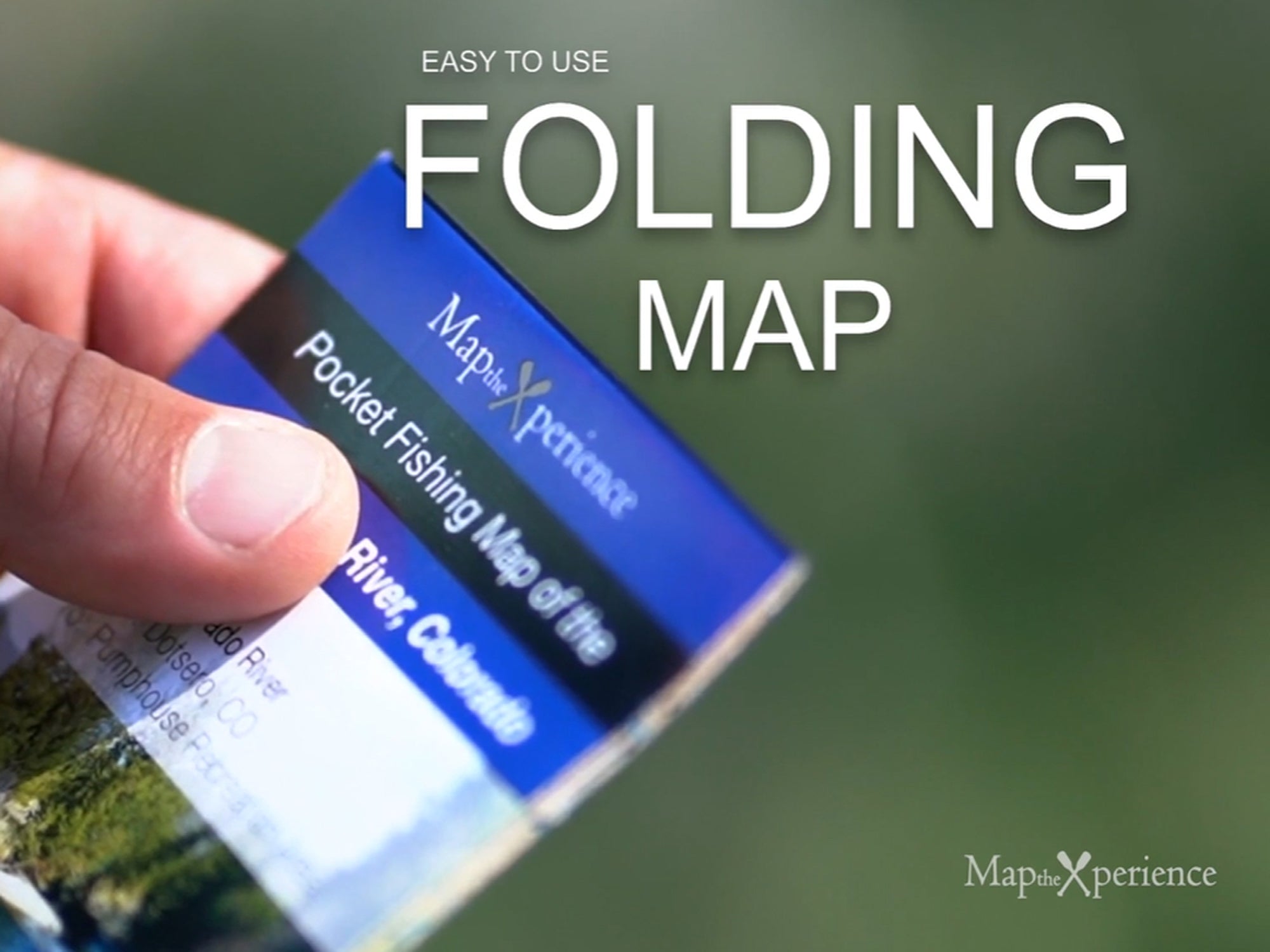
Folded to 3” x 6” and unfolding to 15” x 12”, this map fits easily in any vest, pack, or glovebox—ready for whatever the river brings.
Track your location, zoom in for greater detail, and mirror your print map with GPS-enabled compatibility via a QR Code. Perfect for planning or navigating on the go.
Details
This product is crafted with quality materials to ensure durability and performance. Designed with your convenience in mind, it seamlessly fits into your everyday life.
Shipping & Returns
We strive to process and ship all orders in a timely manner, working diligently to ensure that your items are on their way to you as soon as possible.
We are committed to ensuring a positive shopping experience for all our customers. If for any reason you wish to return an item, we invite you to reach out to our team for assistance, and we will evaluate every return request with care and consideration.


